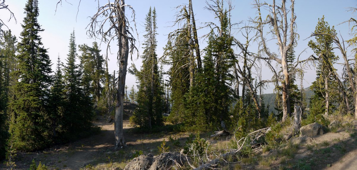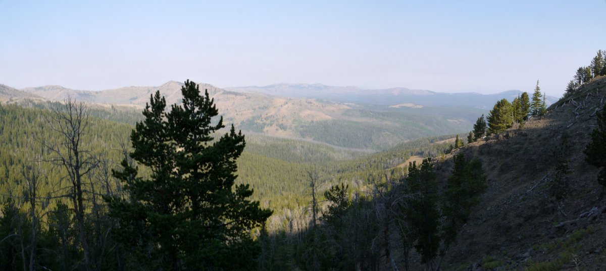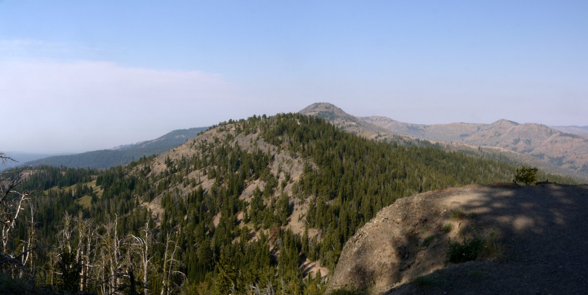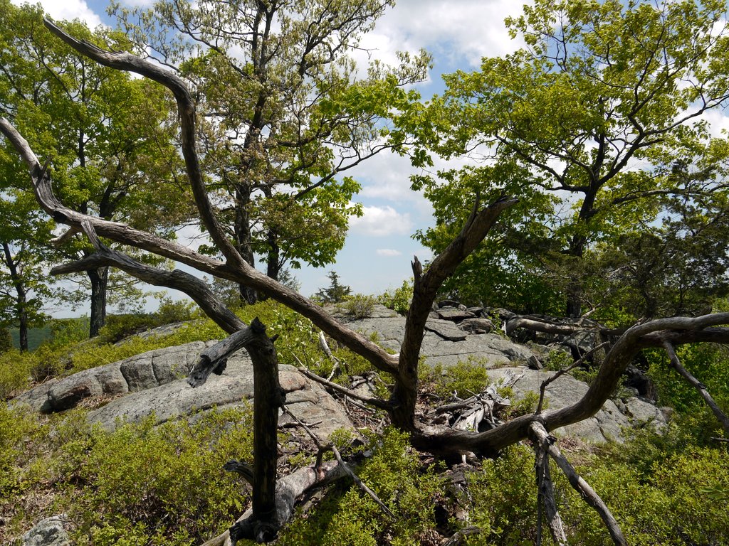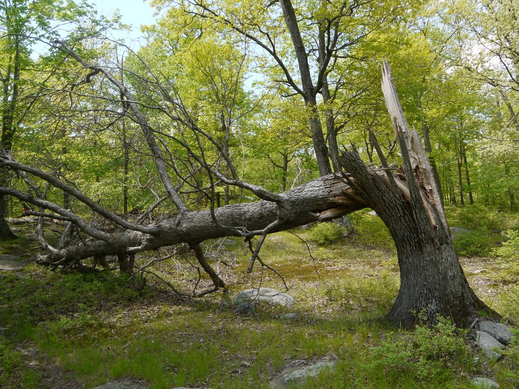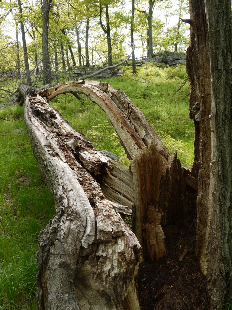
Yellowstone National Park, Wyoming – August 20, 2013

Tuesday: We began driving west from Canyon, and upon reaching the Norris Junction we turned north toward Mammoth Hot Springs.

8:30 a.m.We stopped when we saw that other vehicles had pulled over. A bison appeared to be dozing in the field, but no one was paying attention to it, instead looking at one or more elk. Some people were perhaps within 50 yards of the elk, and Yigal also took off to get closer. But by the time I got my telephoto lens onto my camera, it seemed that the elk was beginning to move away. Therefore I satisfied myself with using the long lens to close the gap between us. I took this photo at 200mm, and then cropped the image so that the elk would fill the frame:
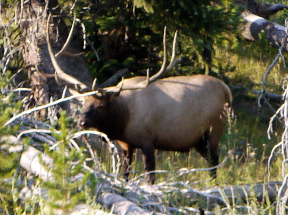
Elk, Yellowstone National Park, Wyoming

Elk

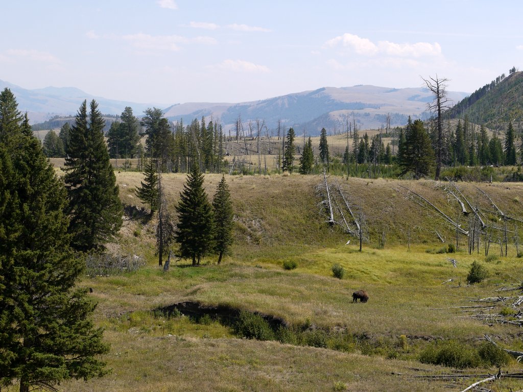
Before we left, the bison stood up, and I captured a photo of him, as well:
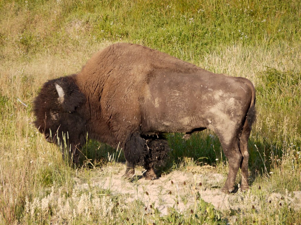
Bison, Yellowstone National Park, Wyoming

Bison

8:56 a.m.: Continuing our drive, We stopped briefly to admire and photograph the Gallatin Range of mountains, where unfortunately some other tourists walked into the field to disrupt my photographic efforts. The mountains seen in this photo, about 6 miles to the west, include Antler Peak and Quadrant Mountain:

Gallatin Mountain Range, Yellowstone National Park, Wyoming

Gallatin Mountain Range

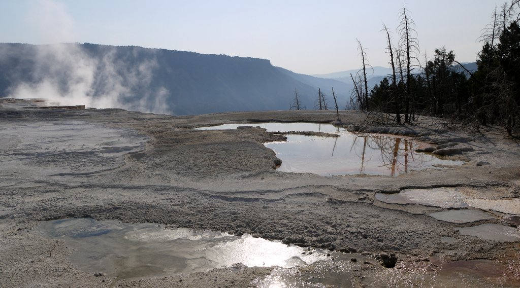
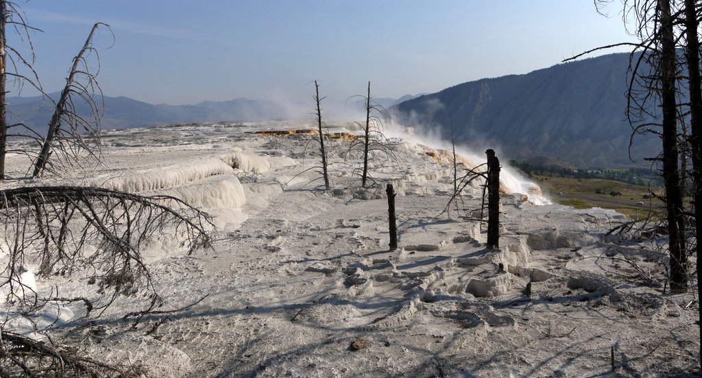
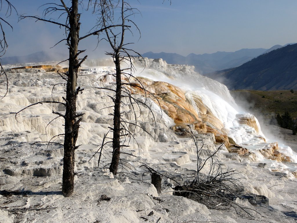
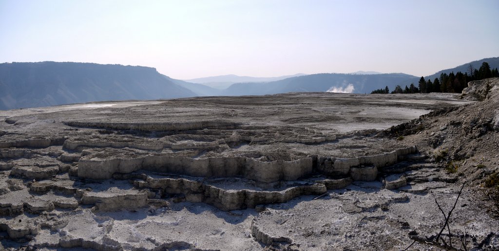
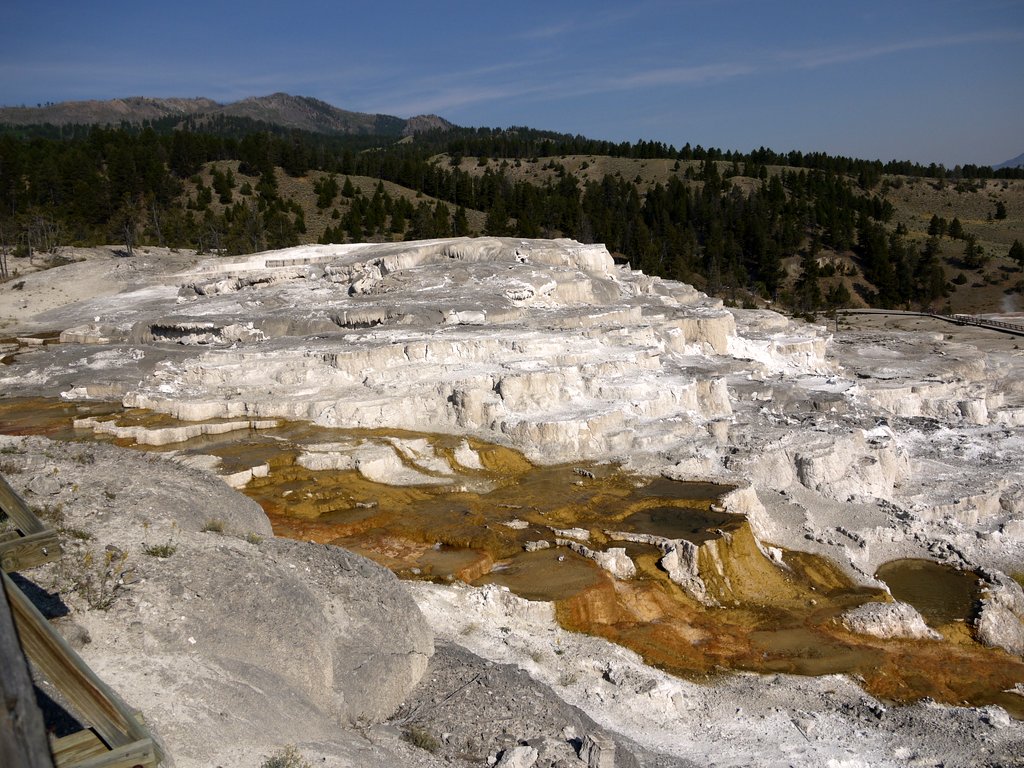
9:12 a.m.: We continued on to Mammoth Hot Springs. Two tons of calcium carbonate in solution flow through the springs every day, creating travertine deposits and mounds. The parking lot gave us an overview of the springs:
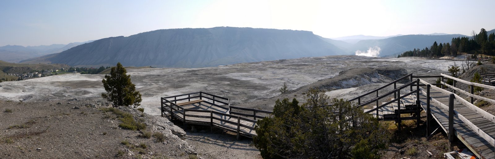
Mammoth Hot Springs, Yellowstone National Park, Wyoming

Mammoth Hot Springs

We found the walkway and began exploring.
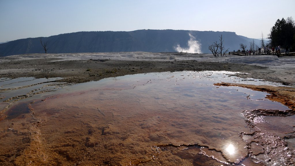
Mammoth Hot Springs, Yellowstone National Park, Wyoming

Mammoth Hot Springs

Some of the geyser basins and other areas had signs identifying each individual feature, but I didn’t see that here. Thus, I’ll just present many of the photos without commentary and without specific identification.
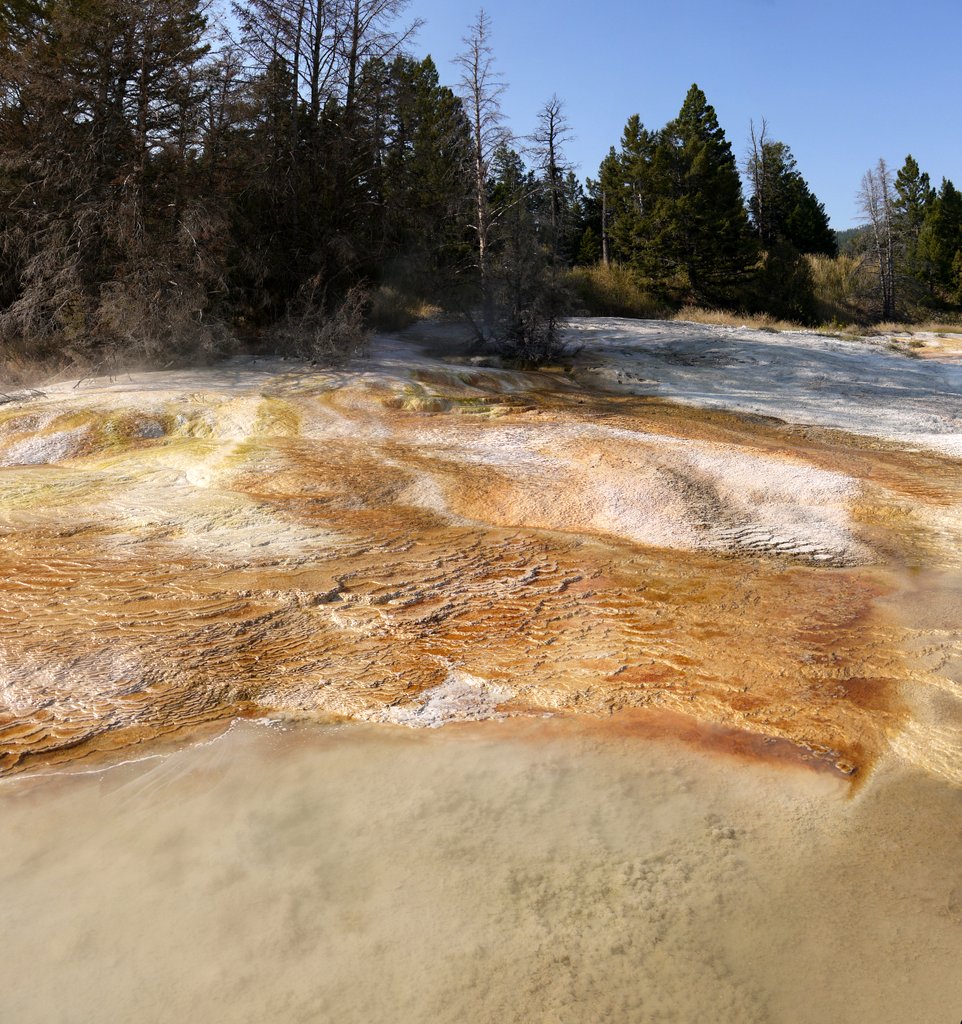
Mammoth Hot Springs, Yellowstone National Park, Wyoming

Mammoth Hot Springs


Mammoth Hot Springs, Yellowstone National Park, Wyoming

Mammoth Hot Springs


Mammoth Hot Springs, Yellowstone National Park, Wyoming

Mammoth Hot Springs


Mammoth Hot Springs, Yellowstone National Park, Wyoming

Mammoth Hot Springs


Mammoth Hot Springs, Yellowstone National Park, Wyoming

Mammoth Hot Springs


Mammoth Hot Springs, Yellowstone National Park, Wyoming

Mammoth Hot Springs

A huge mound of the travertine, a type of limestone:
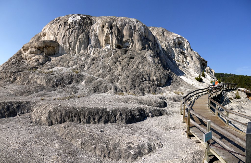
Mammoth Hot Springs, Yellowstone National Park, Wyoming

Mammoth Hot Springs

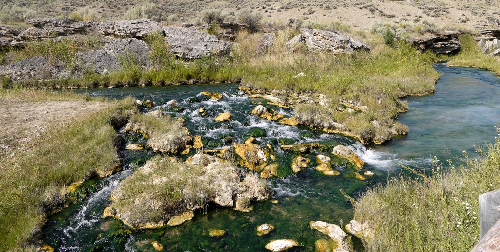
11:26 a.m.: After touring Mammoth Hot Springs, we continued driving north for a few miles, past the hotel, stores, visitor center, and other buildings at Mammoth. A few miles to the north, we reached the border between Wyoming and Montana. There were parking lots on either side of the road, and we parked and walked east to the Gardner River, following an easy path about 1/2 mile south, where a hot spring called “The Boiling River” feeds into the Gardner. The scalding water of the Boiling River mixes with the cold water of the Gardner to produce a bathtub-warm area enjoyed by bathers:
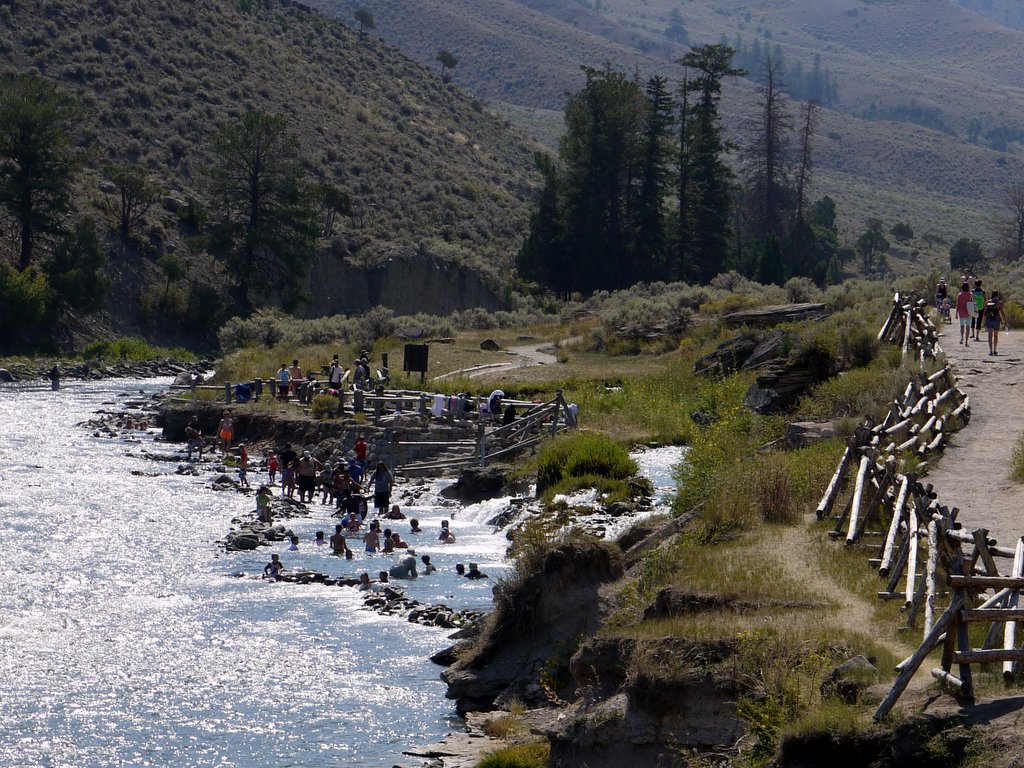
Boiling River, Yellowstone National Park, Wyoming

Boiling River

The hot spring is not quite boiling, but it is close to it:
Boiling River, Yellowstone National Park, Wyoming

Boiling River

A lady at the Camper Services building at Canyon had suggested the Blacktail Plateau Drive as a place where we might see animals. This is a one-way dirt road that parallels the loop road between Mammoth and the Tower Junction. Thus, we drove south to Mammoth and then turned east toward Toward. Upon reaching the dirt road, we undertook the bone-jarring drive, which circled 7875′ Crescent Hill, but did not see any animals.

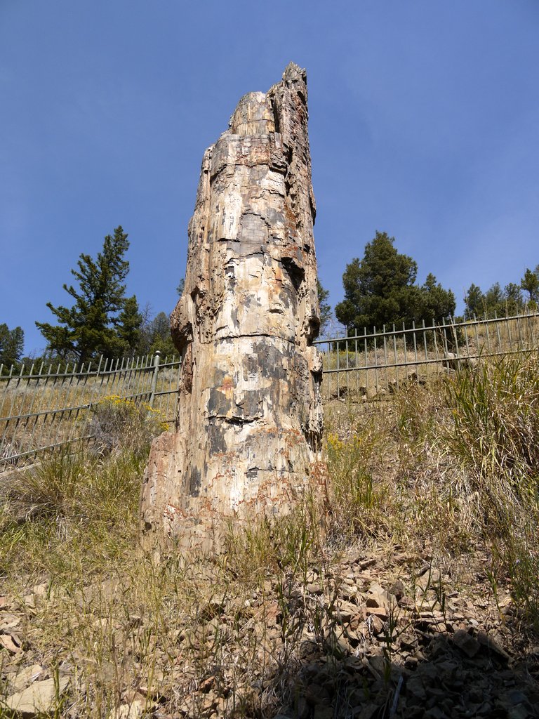
1:47 p.m.: After completing the dirt road drive and returning to the paved loop road, we drove a fraction of a mile to see a petrified tree. At one time there were two petrified trees there, but visitors to the park stole the second tree piece-by-piece. Now, a fence protects the remaining tree.
Petrified Tree, Blacktail Deer Plateau, Yellowstone National Park, Wyoming

Petrified Tree

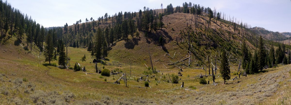
There was pretty scenery near the petrified tree, looking back toward the Blacktail Deer Plateau through which we had just driven:
Blacktail Deer Plateau, Yellowstone National Park, Wyoming

Blacktail Deer Plateau


Blacktail Deer Plateau, Yellowstone National Park, Wyoming

Blacktail Deer Plateau

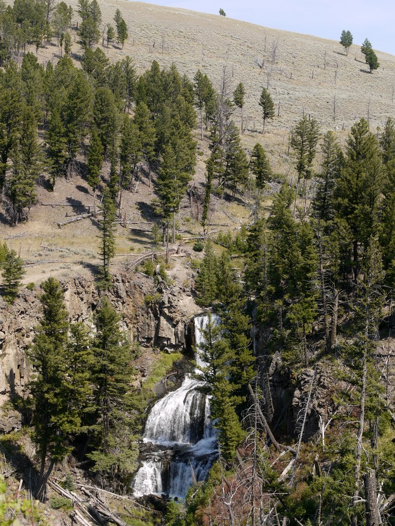
2:14 p.m.: We drove west on the loop road, back toward Mammoth, stopping at Undine Falls, a waterfall adjacent to the road. The upper falls is 60′, the lower falls 38′:
Undine Falls, Yellowstone National Park, Wyoming

Undine Falls

“Alas, poor Yorick!” Someone pointed out a skeleton on the opposite side of Gardner Canyon atop which we were standing. Yigal thinks he can see horns on the skull and concludes it’s a bison, but I am not enough of a naturalist to say conclusively.
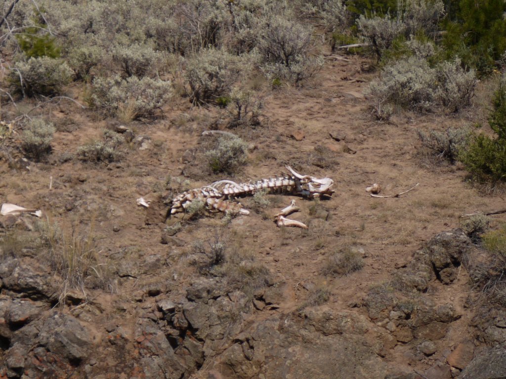
Bison Skeleton, Yellowstone National Park, Wyoming

Bison skeleton

We then drove south, past the Norris Junction, past the Madison Junction, and on to the Upper Geyser Basin, where we claimed front-row seats on a bench and waited for Old Faithful.

4:50 p.m.: It was about 10 minutes early:
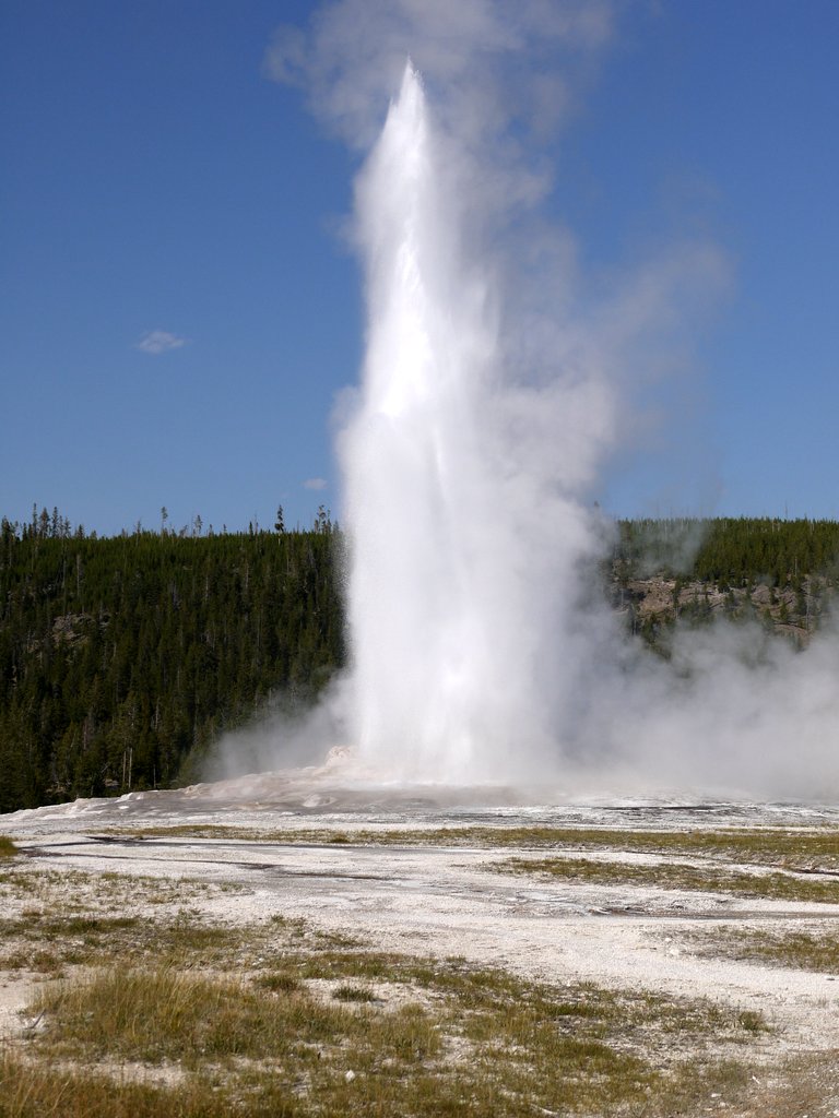
Old Faithful, Yellowstone National Park, Wyoming

Old Faithful

We returned to our Canyon campground and were planning on waking early to travel to Grand Teton on Wednesday. However, when we visited the Camper Services building for our showers, we saw a sign on the door that explained that as a result of fires in the park, the road we would have taken was blocked seven miles to our south. A very long detour was available by going west and south through Old Faithful and West Thumb, but that would have added a significant delay to our round trip drive. As we had some time constraints associated with the Grand Teton hike (we had to finish the hike by 6:00 p.m. to catch a boat shuttle), we didn’t want to deal with a long detour. We therefore decided to delay the Grand Teton tour until Thursday, at which time we hoped the road would be reopened.

Coming up: Wednesday we visit many more geyser basins.
Posted in Vacations | Tagged , | Leave a comment

Yellowstone National Park, Wyoming – August 19, 2013

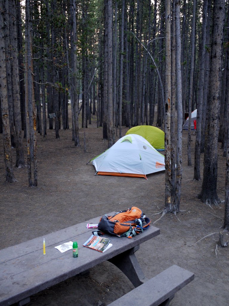
Monday: The first photo below is our campsite, or part of it, showing my new two-man Kelty Gunnison 2.2 tent in the foreground (white and orange), with Julie’s new North Face Meso 2 in the background (green). The third tent is at the campsite next to ours. We also had a fire pit (not shown), which was to the left of the picnic table.

Some campgrounds limit campers to two tents per campsite (for example, some have a dedicated “tent pad,” which can be a flat area outlined by logs on which tents should be placed). There was no such restriction posted on the website for the Canyon campground, though I did not know if that was dispositive, or if perhaps they might still have such a rule. Therefore, I did not know if the three of us could each have his/her own tent or not. That was one factor in deciding to buy the two-man Kelty tent. Of course, I could have phoned the campground to ask if there was such a rule. But I had another reason for getting the two-man tent: my one-man tent does not have much room inside for gear, and it has no vestibule under the rain fly. In contrast, the Kelty’s rain fly provides a generous vestibule outside each door of the tent, under which one can leave boots, a backpack, etc. The tent itself provides 37 square feet of floor space, while each vestibule provides 10 square feet of floor space.

I left my duffel bag with my clothing in the vestibule. In theory we could leave gear in the rental car, which would also be more secure than leaving it in an unprotected tent, a concern as sometimes criminals do visit parks to steal unprotected items (or even tents). However, Yigal and I were staying until Sunday, while Julie was leaving Saturday morning, so we would have to store gear somewhere at least for Friday night through Sunday morning. Also, Hertz had talked Julie into renting a larger car, then gave her a Buick LaCrosse “mid-size” sedan that has a pitifully small trunk of only 13.3 cubic feet, compared to 20 cubic feet for a Ford Taurus. The trunk was mostly full of food we had purchased, leaving no room for my duffel bag.

Campsite, Canyon Campground, Yellowstone National Park, Wyoming

Our campsite

Yellowstone was established as America’s first national park because of the geysers, with a number of basins located adjacent to the roads. We planned to visit all of them, instead of hiking every day. Julie had proposed a 14-mile hike in adjacent Grand Teton National Park for midweek, and I proposed a 6-mile hike to the top of Mt. Washburn and back. This hike was the only one that was especially highlighted in the Moon Guide for Yellowstone, which was how I selected it. We decided to begin our week with the Mt. Washburn hike, reasoning that we could then recover on Tuesday (if any recovery were needed), before visiting Grand Teton on Wednesday.

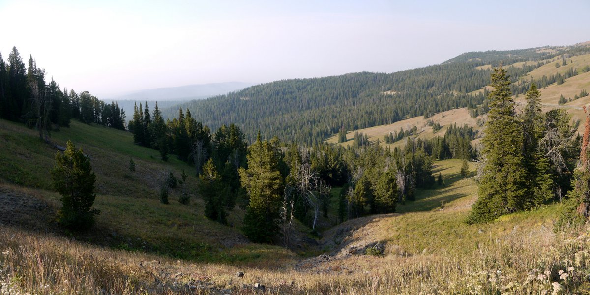
Thus, we drove a short distance north from Canyon (at 7900′ elevation) to Dunraven Pass, elevation 8859′, the start of the trailhead up Mt. Washburn. As Julie was not wearing a belt, I was tasked with carrying the can of bear spray. We began our hike, appreciating the scenery, though visibility was far from ideal, both because of morning fog and especially because some small fires were burning in Yellowstone, to the south of the Canyon area.

Scenery from Mt. Washburn, Yellowstone National Park, Wyoming

Scenery from Mt. Washburn

We discovered that the trail was wide and typically devoid of rocks, tree roots, etc. It appeared that it had formerly been a road, and in places we saw bits of asphalt.

Climbing Mt. Washburn, Yellowstone National Park, Wyoming

Climbing Mt. Washburn

Some of the short trees growing on the mountain:

Climbing Mt. Washburn, Yellowstone National Park, Wyoming

Climbing Mt. Washburn

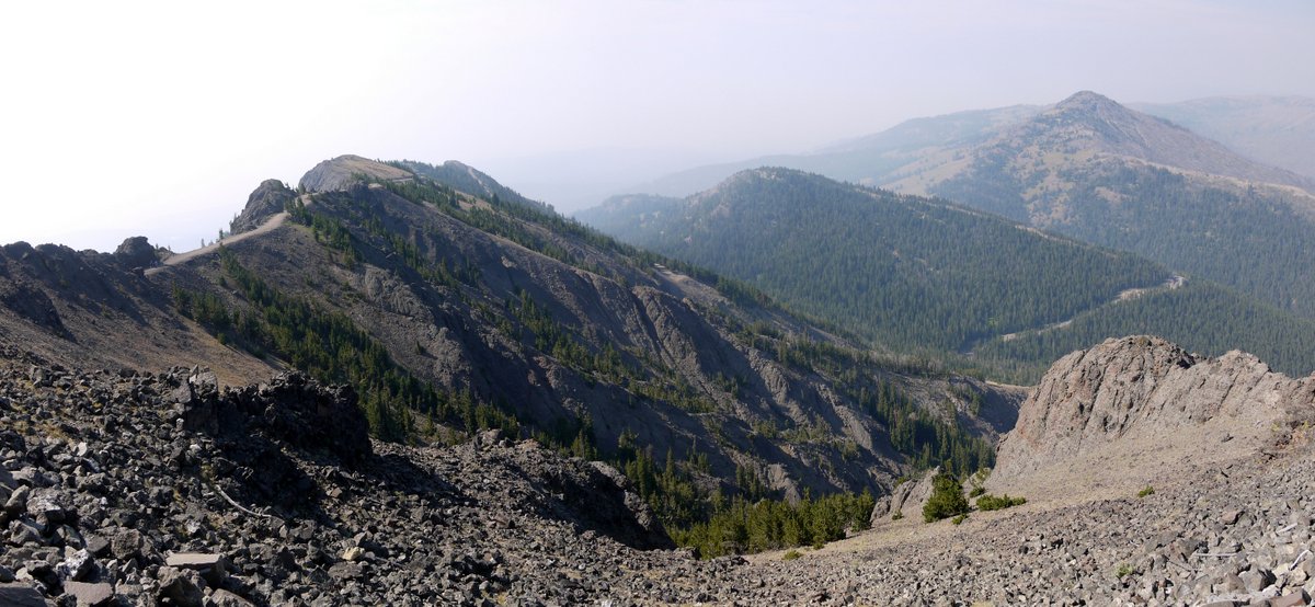
The surrounding landscape:

View from Mt. Washburn, Yellowstone National Park, Wyoming

View from Mt. Washburn


View from Mt. Washburn, Yellowstone National Park, Wyoming

View from Mt. Washburn

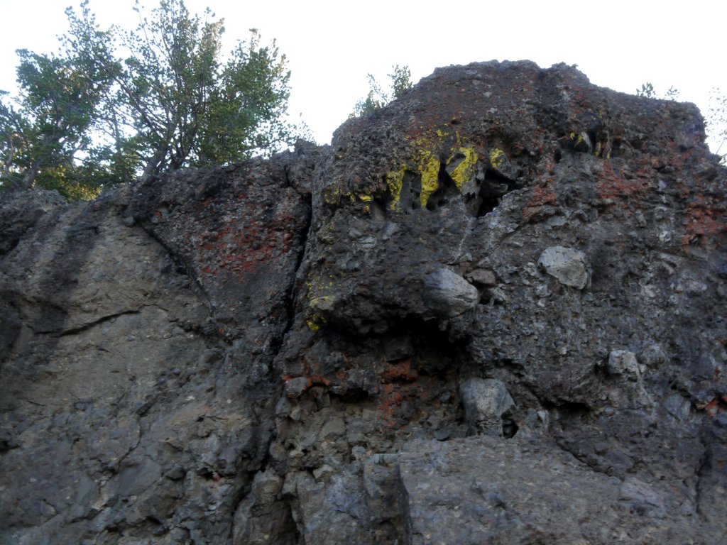
This rock had both yellow and red lichen:

Rock with yellow and red lichen, Mt. Washburn, Yellowstone National Park, Wyoming

Rock with yellow and red lichen

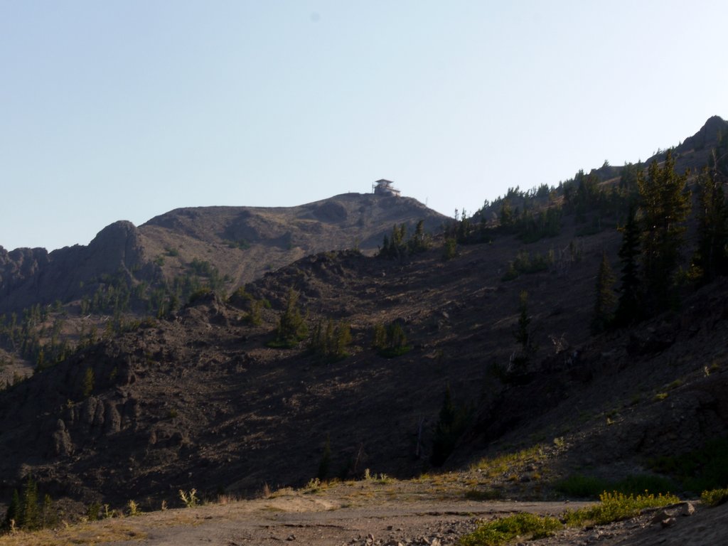
The peak of Mt. Washburn, complete with its observation tower, came into view:

Peak of Mt. Washburn, Yellowstone National Park, Wyoming

Peak of Mt. Washburn

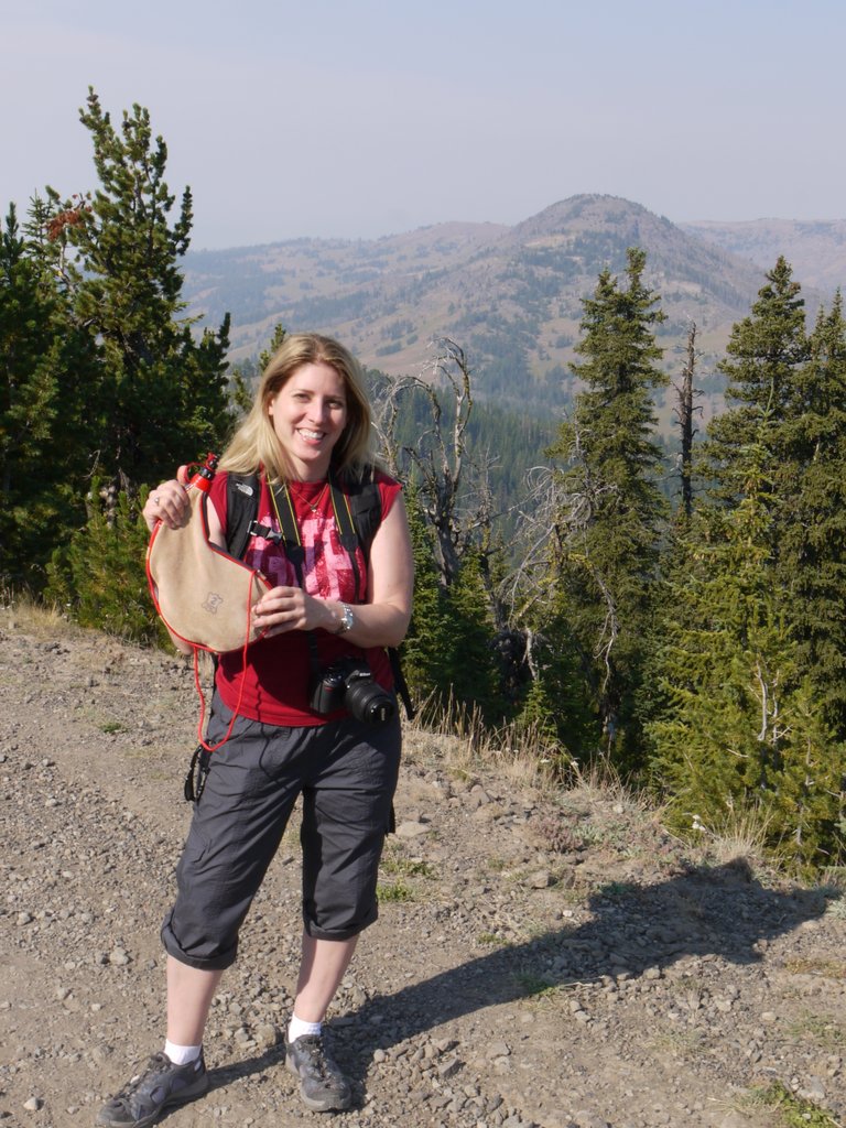
When we had stopped at the grocery store at West Yellowstone on Sunday, Julie had been excited to discover a bota bag for sale. She said that she had wanted one for years, and could not resist making the purchase. I’ll stick with the less-fashionable CamelBak bladder hidden in my backpack.

Julie with a Bota Bag, Yellowstone National Park, Wyoming

Julie with a bota bag

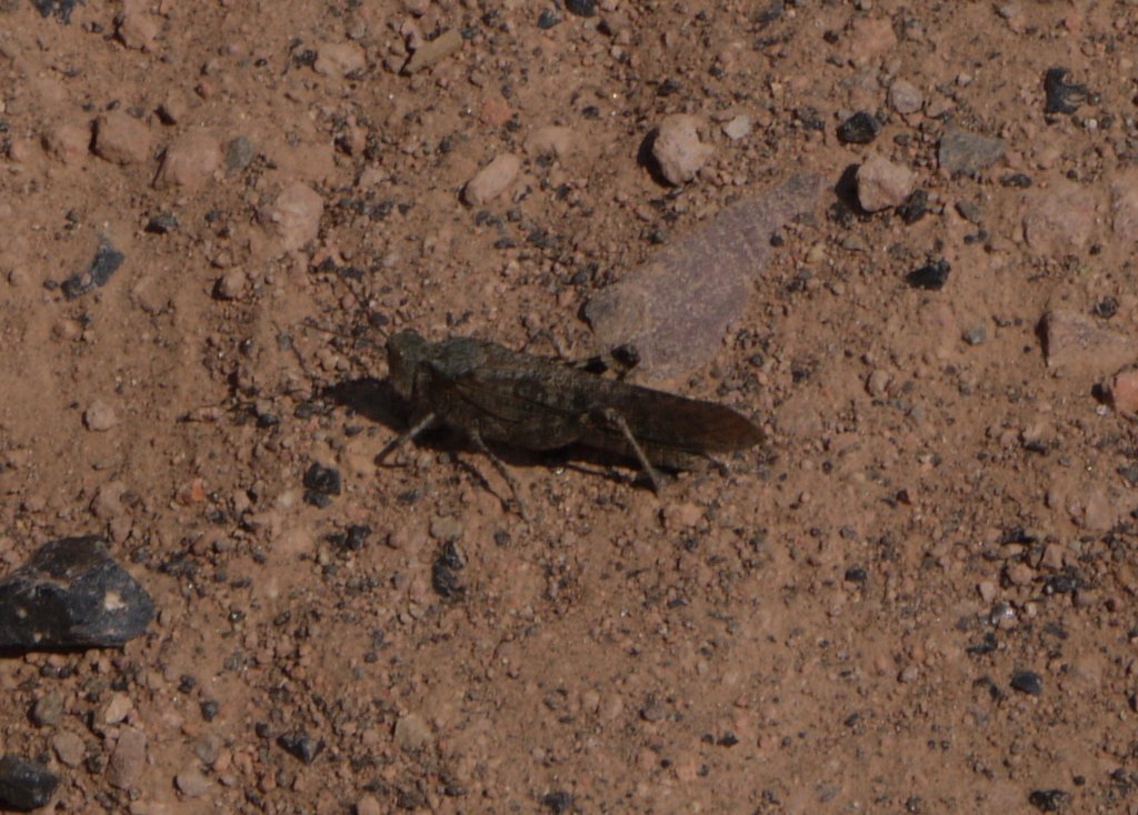
We encountered numerous small flying insects that made a tremendous snapping or popping noise in flight. When they landed, they revealed themselves to be small, drab grasshoppers, a wrangler grasshopper (Circotettix rabula), or a similar species. We saw them in other parts of the park, and in Grand Teton as well:

Wrangler grasshopper, Yellowstone National Park, Wyoming

Wrangler grasshopper

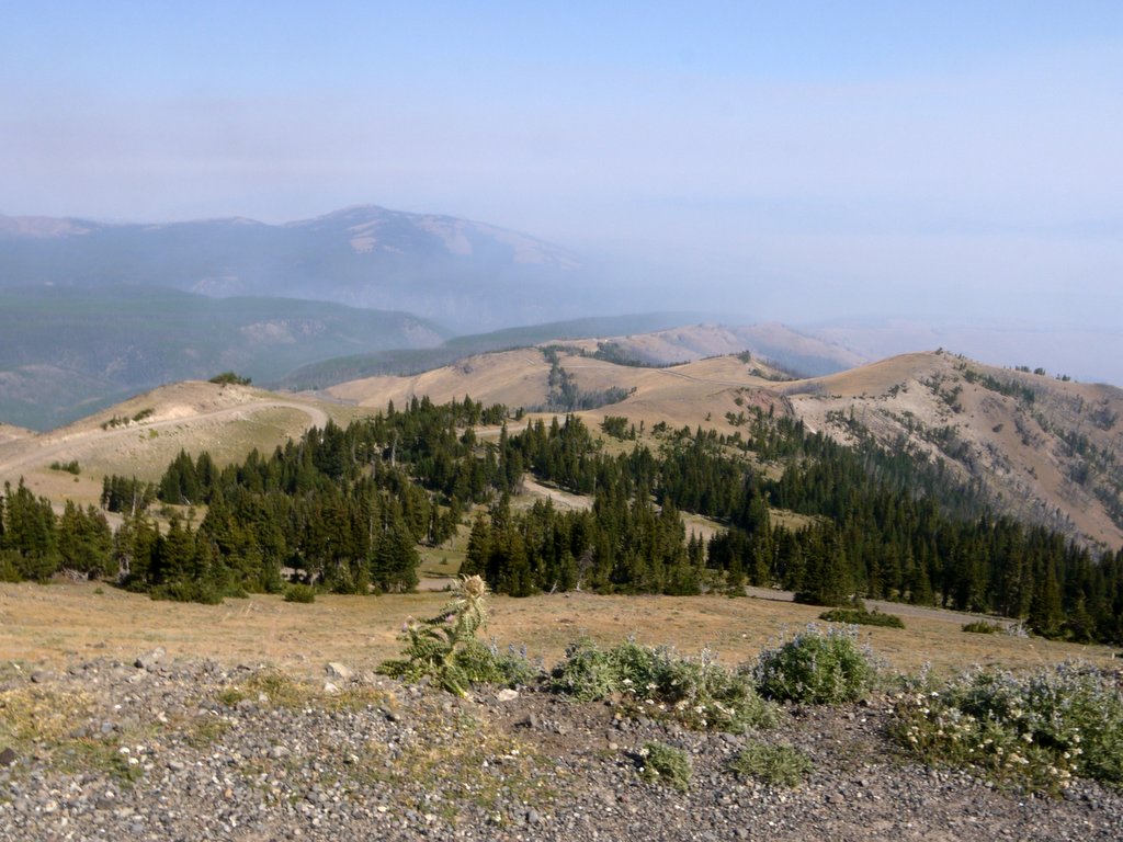
As expected, the view improved as we neared the top of the 3 mile trail, though it would have been better without the smoke:

View from Mt. Washburn, Yellowstone National Park, Wyoming

View from Mt. Washburn


View from Mt. Washburn, Yellowstone National Park, Wyoming

View from Mt. Washburn

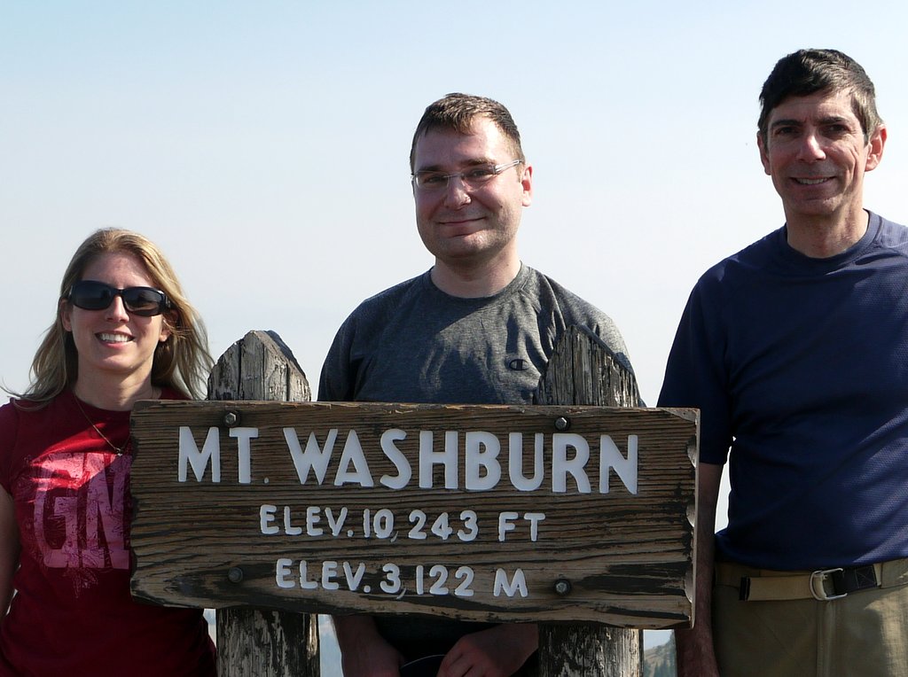
We completed the 3 mile, 1400′ climb:

Posing atop Mt. Washburn, Yellowstone National Park, Wyoming

Julie, Yigal and I pose atop Mt. Washburn

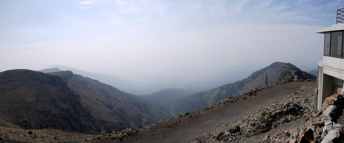
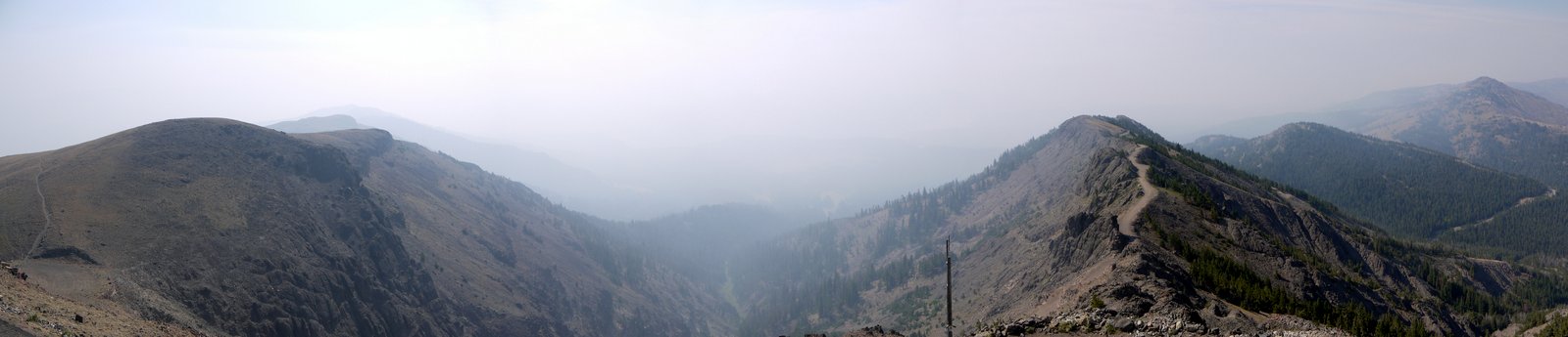
In the panorama below, one can see part of the substantial observation tower, which includes restrooms, an enclosed observation deck for park visitors, and a private residence on the top floor for a park ranger.

View from Mt. Washburn, Yellowstone National Park, Wyoming

View from Mt. Washburn

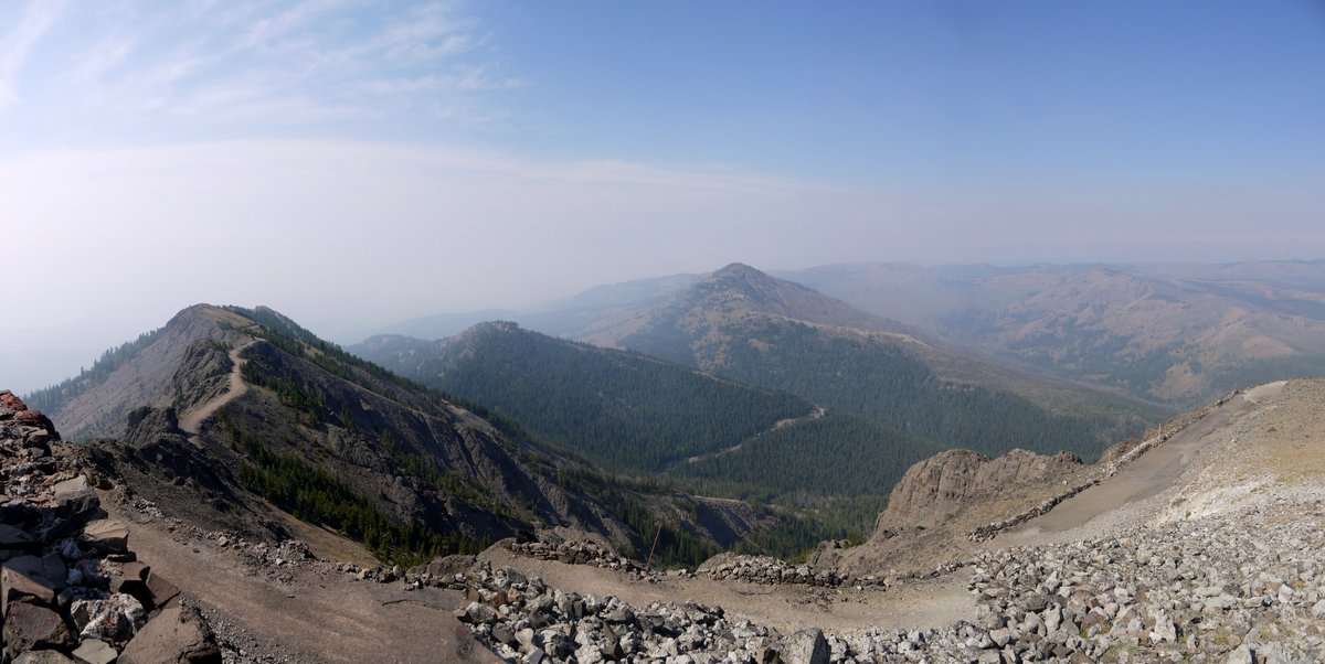
Two other panoramic views from the top of Mt. Washburn:

View from Mt. Washburn, Yellowstone National Park, Wyoming

View from Mt. Washburn


View from Mt. Washburn, Yellowstone National Park, Wyoming

View from Mt. Washburn

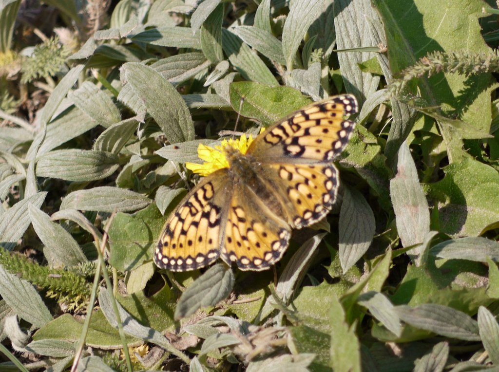
After a while, we began our descent, retracing our steps on the 3-mile path. I believe this little fellow is an Edwards’ Fritillary (Speyeria edwardsii):

Edwards' Fritillary Butterfly, Yellowstone National Park, Wyoming

Edwards’ Fritillary Butterfly

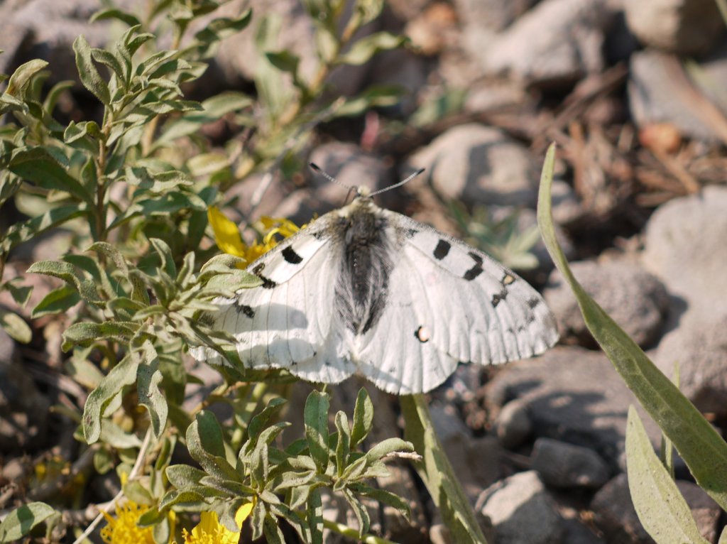
And this would be a Checkered White (Pontia protodice):

Checkered White Butterfly, Yellowstone National Park, Wyoming

Checkered White butterfly

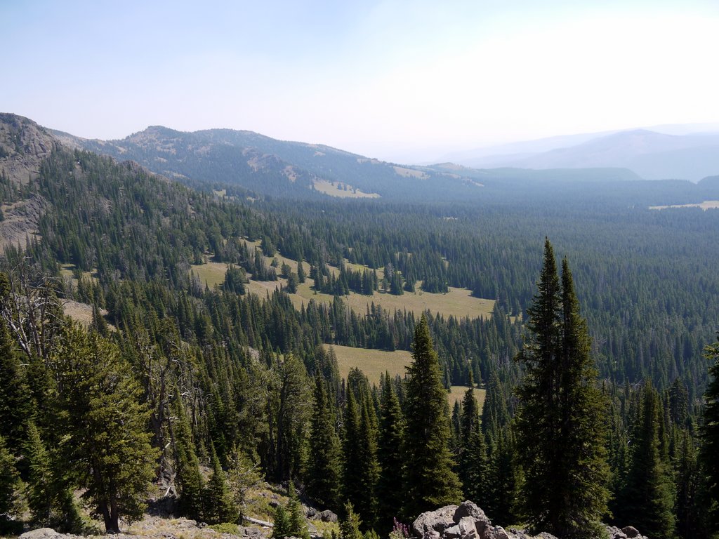
Another view of the surrounding countryside:

View from Mt. Washburn, Yellowstone National Park, Wyoming

View from Mt. Washburn

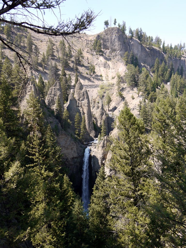
After returning to the car, we continued driving to the north, to Tower Fall, where a walkway led to a platform from which we could view the 132′ waterfall.

Tower Fall, Yellowstone National Park, Wyoming

Tower Fall

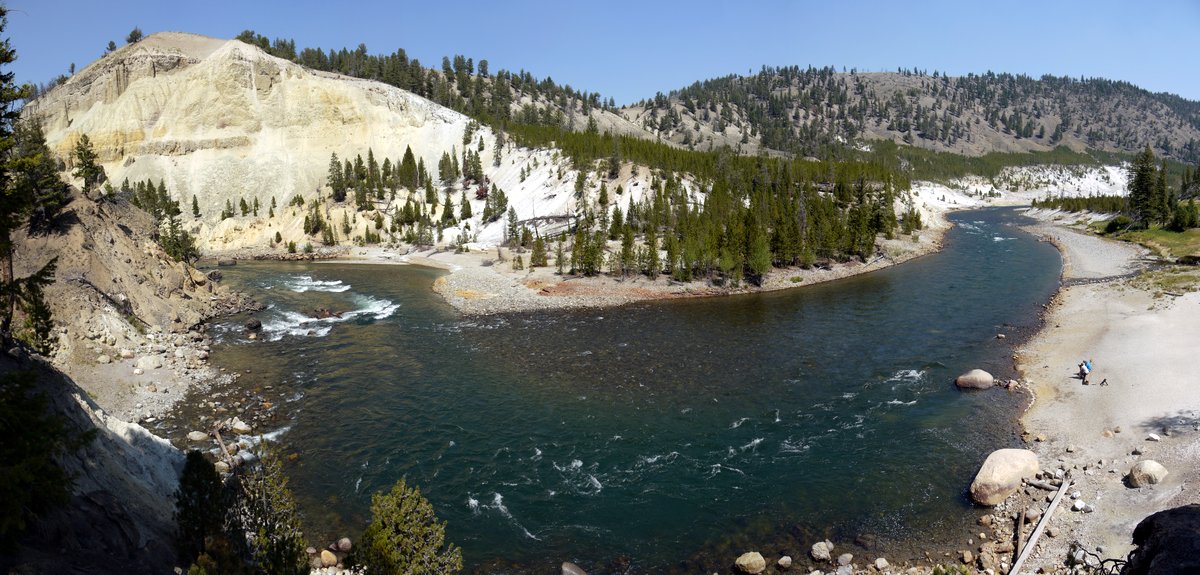
We then descended a stairway which led to a small spot about 50′ above the Yellowstone River. A sign there noted that the trail was closed beyond that point, and visitors should continue at their own risk. A steep sandy descent led the remaining 50′ to the river, and a number of people had descended that, but we decided that climbing back up the steep sandy slope might be more trouble than it was worth, so we remained on the trail and had lunch.

Yellowstone River, Yellowstone National Park, Wyoming

Yellowstone River

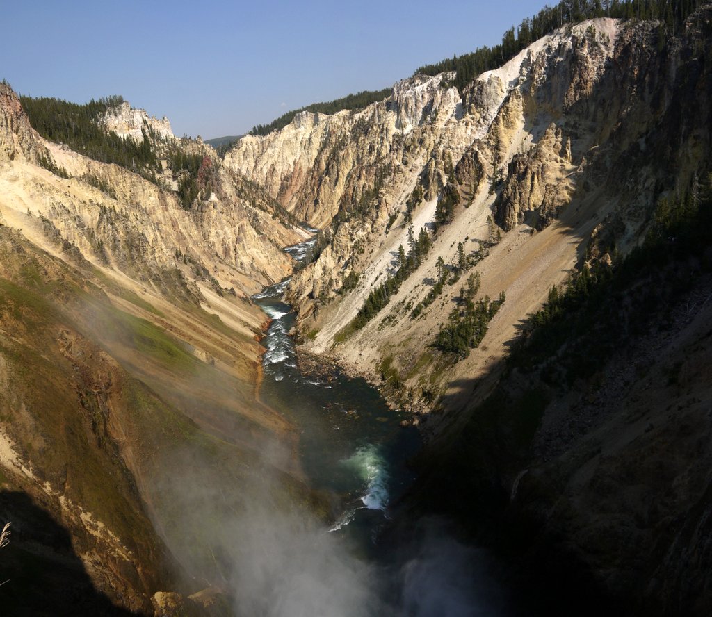
We then drove south, returning to the Canyon area, where we visited the north side of the Grand Canyon of the Yellowstone. At 24 miles in length, 800-1200′ deep, and ¼-¾ miles in width, the canyon is impressive (though still tiny compared to the real Grand Canyon, carved by the Colorado River). We descended a path, switchbacks and stairs to an observation platform at the point of fall of the Lower Falls:

Grand Canyon of Yellowstone, Yellowstone National Park, Wyoming

Grand Canyon of Yellowstone

I mentioned that the trunk of our car was primarily filled up with food. While I can survive indefinitely on cold food, Yigal decided it would be nice to have a campfire and bake potatoes, so at the grocery store on Sunday he bought two bags of them, as well as half a watermelon that we never ate. He also bought aluminum foil, lighter fluid and a lighter, and then we chipped in to buy firewood and kindling from the Camp Services store. (The park allows visitors to collect fallen wood, but the campsite only had pine trees, which is not especially suitable for fires.)

So we had a campfire that night and ate a few baked potatoes. Lacking sour cream, I put hummus on mine.

Coming up: Tuesday we tour the Mammoth Hot Springs; visit the Boiling River; and see Old Faithful erupt.

Posted in Hikes, Vacations | Tagged , | Leave a comment

Yellowstone National Park, Wyoming – August 18, 2013

Sunday: My friend Yigal and I flew from JFK to Salt Lake City, and from there on to the tiny airport at West Yellowstone, Montana. My friend Julie had flown from Pittsburgh into Jackson, Wyoming the day before and rented a car, which she had driven into Yellowstone. She was kind enough to drive to “West” to pick us up from the airport.

We drove two miles from the airport into town to buy groceries, and then continued on another mile to the entrance to the National Park. We then drove over an hour to reach the Canyon area of Yellowstone, where we would be camping for the week. Julie had already checked in earlier in the day and set up her tent, and I set up a two man tent that I had brought for Yigal and myself.

Yellowstone National Park is huge, and in fact the borders of the park were established before the borders of the host states were. Thus, most of the park is in Wyoming, but a small part is in Montana and an even smaller part is in Idaho.

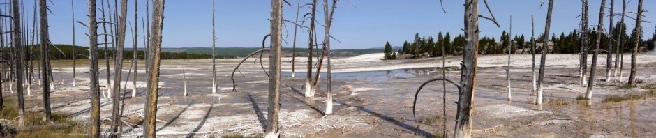
It was only about 4:30 p.m., with sundown not until 8:00, so we drove out for a little sightseeing, selecting the Norris Geyser Basin, which was about a half hour drive. Norris is divided into Porcelain Basin and Back Basin. While most of the Yellowstone geyser basins are alkaline, this one is acidic. This panoramic view shows the barren ground, which abounds with iron and arsenic:

Norris Geyser Basin, Yellowstone National Park, Wyoming

Norris Geyser Basin

This is a tone-mapped shot (a variation of High Dynamic Range imaging) of Ledge Geyser, the largest geyser in Porcelain Basin:

Ledge Geyser, Norris Geyser Basin, Yellowstone National Park, Wyoming

Ledge Geyser, Norris Geyser Basin

Following are a few miscellaneous photos from the Norris Geyser Basin:

Norris Geyser Basin, Yellowstone National Park, Wyoming

Norris Geyser Basin

I mentioned that the ground was acidic. A number of the thermal features at Yellowstone give off sulfur, and it can oxidize on the surface to form sulfuric acid, which kills most of the plant life, leaving a somewhat barren terrain around the thermal features.

Norris Geyser Basin, Yellowstone National Park, Wyoming

Norris Geyser Basin


Norris Geyser Basin, Yellowstone National Park, Wyoming

Norris Geyser Basin


Norris Geyser Basin, Yellowstone National Park, Wyoming

Norris Geyser Basin


Norris Geyser Basin, Yellowstone National Park, Wyoming

Norris Geyser Basin


Norris Geyser Basin, Yellowstone National Park, Wyoming

Norris Geyser Basin

This is Fearless Geyser:

Fearless Geyser, Norris Geyser Basin, Yellowstone National Park, Wyoming

Fearless Geyser, Norris Geyser Basin

Driftwood in the run-off from a geyser makes for a nice effect:

Norris Geyser Basin, Yellowstone National Park, Wyoming

Norris Geyser Basin

This is Pearl Geyser:

Pearl Geyser, Norris Geyser Basin, Yellowstone National Park, Wyoming

Pearl Geyser, Norris Geyser Basin

Puff’n Stuff Geyser sprays water a few feet into the air:

Puff'n Stuff Geyser, Norris Geyser Basin, Yellowstone National Park, Wyoming

Puff’n Stuff Geyser, Norris Geyser Basin

The sulfur and iron can leave yellow and orange deposits on the barren ground. This is Echinus Geyser. None of the geysers were especially active in the Norris Basin while we were there.

Echinus Geyser, Norris Geyser Basin, Yellowstone National Park, Wyoming

Echinus Geyser, Norris Geyser Basin

Norris Geyser Basin, Yellowstone National Park, Wyoming

Norris Geyser Basin

Cistern Spring has grown over the years, killing nearby trees. The “bobby socks” effect leaves the lower part of the trees colored white, and the coating of minerals may eventually lead to part of the trees becoming petrified.

Cistern Spring, Norris Geyser Basin, Yellowstone National Park, Wyoming

Cistern Spring, Norris Geyser Basin

Landscape adjacent to the basin:

Landscape adjacent to Norris Geyser Basin, Yellowstone National Park, Wyoming

Landscape adjacent to Norris Geyser Basin

This is Emerald Spring.

Emerald Spring, Norris Geyser Basin, Yellowstone National Park, Wyoming

Emerald Spring, Norris Geyser Basin

After Norris, we drove back to the Canyon campground, ate dinner, visited the local Camper Services building for showers, and went to sleep. The campground has a number of small bathroom facilities that have lights and running water, but for showers, one has to walk (or drive) to the Camper Services at the main entrance to the Canyon campground. It is a nice facility, which has a large laundromat in addition to the showers. Another nice surprise was that the price of the campsite included showers, and that the showers included free liquid body wash dispensers. I have been to many other parks where there were no showers, or where there were showers that were coin-operated, with no soap provided.

Coming up: Monday we hike to the top of Mt. Washburn; visit Tower Fall; and visit the Lower Falls of the Grand Canyon of Yellowstone.

Posted in Vacations | Tagged , | 2 Comments

Popolopen Torne & Bear Mountain, Orange County, New York

After weeks of temperatures in the 80s and 90s, I took off from work to benefit from a day with temperatures in the low 70s. I drove to the parking lot of Fort Montgomery State Historic Site, where I began my hike. I did not investigate the historic site, and do not believe there is much to see there, other than earthen redoubts. A companion fort, Fort Clinton, was built a short distance to the south, across Popolopen Gorge, but was later demolished during construction of U.S. Route 9W and the Bear Mountain Bridge.

9:15 a.m.: I began hiking west on the 1777W and 1779 Trails, which quickly passed below the Route 9W bridge over Popolopen Gorge. On October 6, 1777, Sir Henry Clinton commanded troops that attacked Forts Clinton and Montgomery. (The American Fort Clinton was named for its commander, General George Clinton, while his brother, General James Clinton, commanded Fort Montgomery.) The British troops divided at Doodletown, with half traveling west to Fort Montgomery, and half traveling east to Fort Clinton. The 1777W and 1777E Trails commemorate those western and eastern routes from Doodletown to the forts, with the trails roughly tracking the routes taken by the British troops. Don’t ask me why we are commemorating a British attack on American soil–I don’t know the answer to that.

As far as the 1779 Trail, that commemorates the route followed by American troops, led by General Anthony Wayne, on July 15, 1779, on their way to attack the British fort at Stony Point.

9:34 a.m.: After hiking for a few minutes and 0.5 mile on level ground at 100′ elevation, I approached an occasionally wet area near Brooks Lake.

1777W and 1779 Trails, Bear Mountain State Park, Orange County, NY

1777W and 1779 trails

I then detoured onto the Brooks Lake trail, circling clockwise 0.9 miles around Brooks Lake:

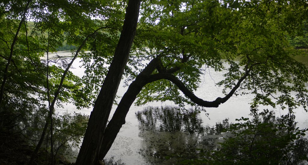
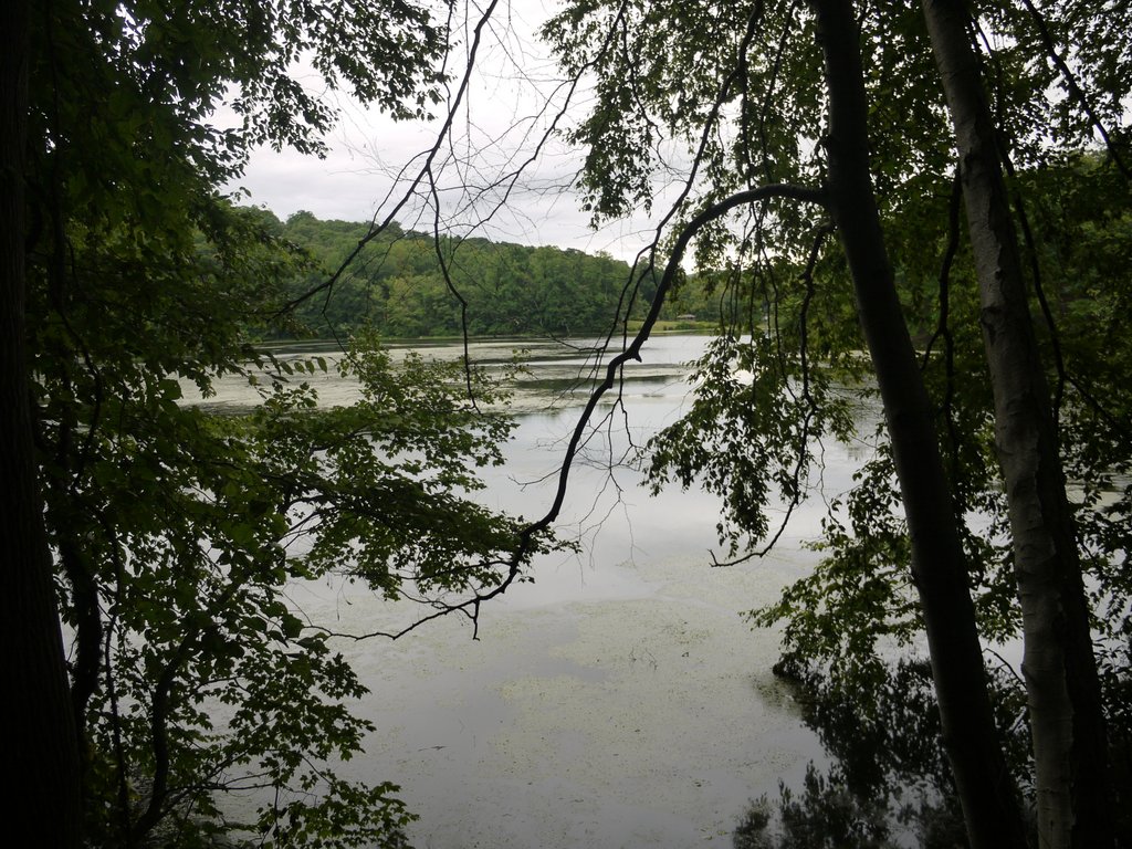
Brooks Lake, Bear Mountain State Park, Orange County, NY

Brooks Lake


Brooks Lake, Bear Mountain State Park, Orange County, NY

Brooks Lake

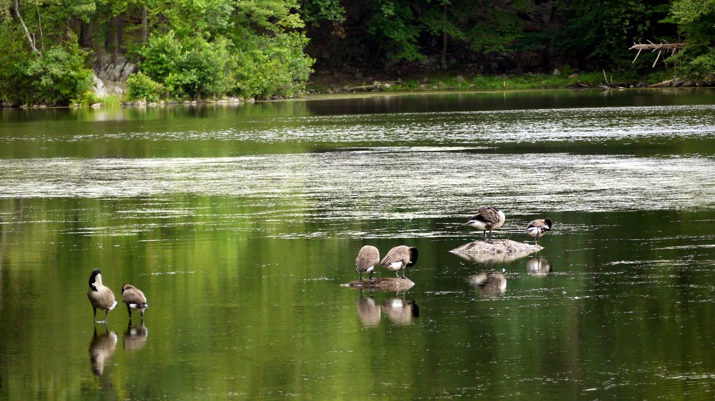
There sure were a lot of Canadian geese:

Canadian geese preening on Brooks Lake, Bear Mountain State Park, Orange County, NY

Canadian geese preening

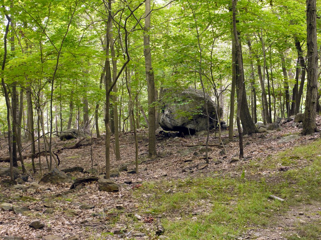
10:24 a.m.: After circling the lake, I continued to the west on the 1777W/1779 Trails. Here I found an isolated boulder:

Glacial erratic, Bear Mountain State Park, Orange County, NY

Glacial erratic

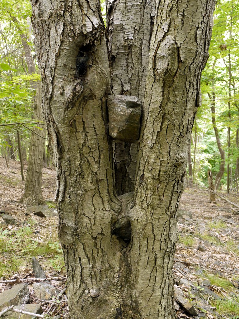
This was interesting: three trees growing together had grown around a rock a foot off the ground, and a second rock that was two feet off the ground was already well wedged in between the trees.

Triplet trees absorbing rocks, Bear Mountain State Park, Orange County, NY

Triplet trees absorbing rocks

The trails climbed to about 400′ in elevation, running parallel to Popolopen Creek, which I could hear and occasionally hear, 200′ below me. Unfortunately, I could also hear vehicle traffic from the Palisades, which was on the far side of the creek. The trails also crossed a number of roads, including both paved and dirt roads.

After another 0.8 miles, I reached the base of Popolopen Torne, where there was another road with a small parking area. This hill is adjacent to the U.S. Military Academy at West Point. The 1777W and 1779 Trails were joined here by the end of the Timp-Torne Trail. I had visited The Timp on a previous hike, and today was my day to visit The Torne. The Timp-Torne Trail climbed up one side and down the other. Not knowing any better, I took this trail counterclockwise, climbing up the east side and then down the west side. It turned out that the east path was an easy climb, but west path included scrambles on steeply angled pieces of flat rock. As it was a dry day and safe enough, I did the downward scramble, but if I had known what to expect, I would have scrambled up the west side and then walked down the east side. Of course, if it had been wet, I would have only ascended and descended on the east side, as the flat rock would be very slick when wet.

11:09 a.m.: Climbing the east side, I only remember a bit of a view, which presented itself shortly before reaching the top:

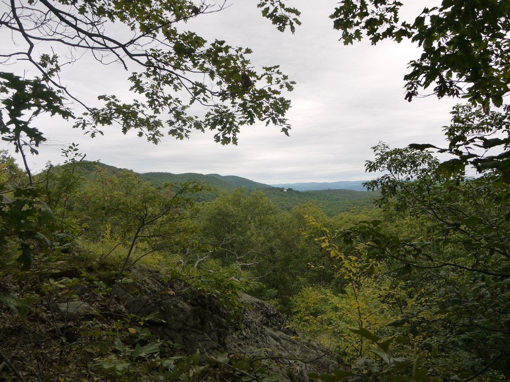
View climbing Popolopen Torne, Bear Mountain State Park, Orange County, NY

View climbing Popolopen Torne

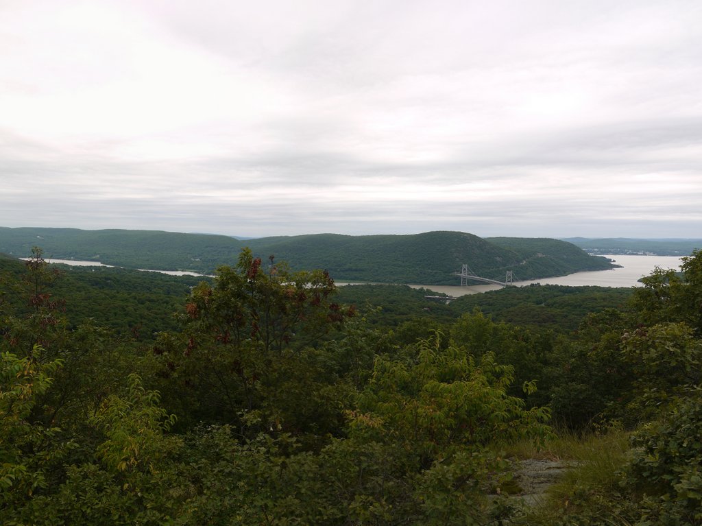
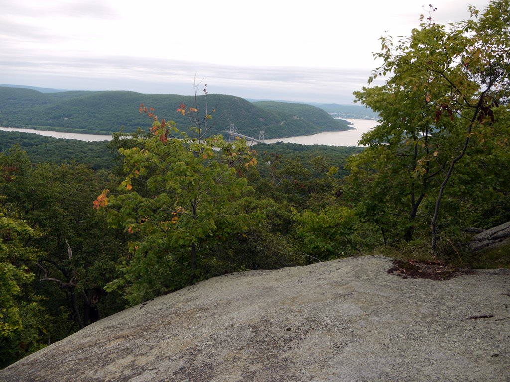
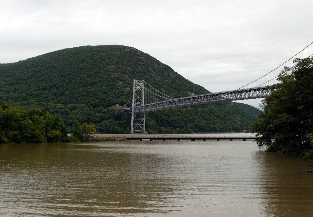
11:11 a.m.: However, I suddenly reached the top of The Torne, at around 700′ elevation, where I was rewarded with a beautiful view of the Hudson River, Bear Mountain Bridge, and Anthony’s Nose:

Bear Mountain Bridge from Popolopen Torne, Bear Mountain State Park, Orange County, NY

Bear Mountain Bridge from Popolopen Torne

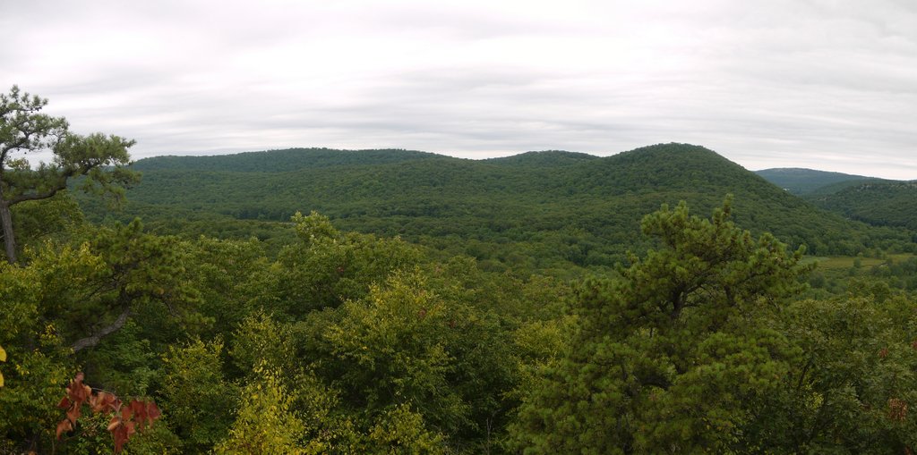
The Torne also provided views toward the west:

View from Popolopen Torne, Bear Mountain State Park, Orange County, NY

View from Popolopen Torne

Another view of the Hudson:

Bear Mountain Bridge from Popolopen Torne, Bear Mountain State Park, Orange County, NY

Bear Mountain Bridge from Popolopen Torne

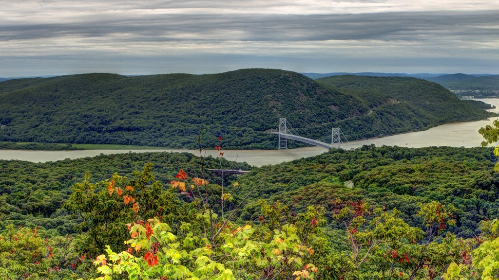
Here is a fused High Dynamic Range (HDR) image of Anthony’s Nose, the Hudson River, the Bear Mountain Bridge (and the much smaller bridge where I had begun my hike, where Highway 9W crosses the Popolopen Gorge):

Bear Mountain Bridge from Popolopen Torne, Bear Mountain State Park, Orange County, NY

Bear Mountain Bridge from Popolopen Torne

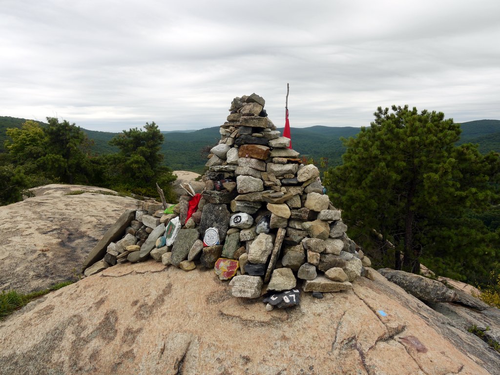
The cadets at West Point maintain a memorial to our armed forces atop Popolopen Torne:

Memorial on Popolopen Torne, Bear Mountain State Park, Orange County, NY

Memorial on Popolopen Torne

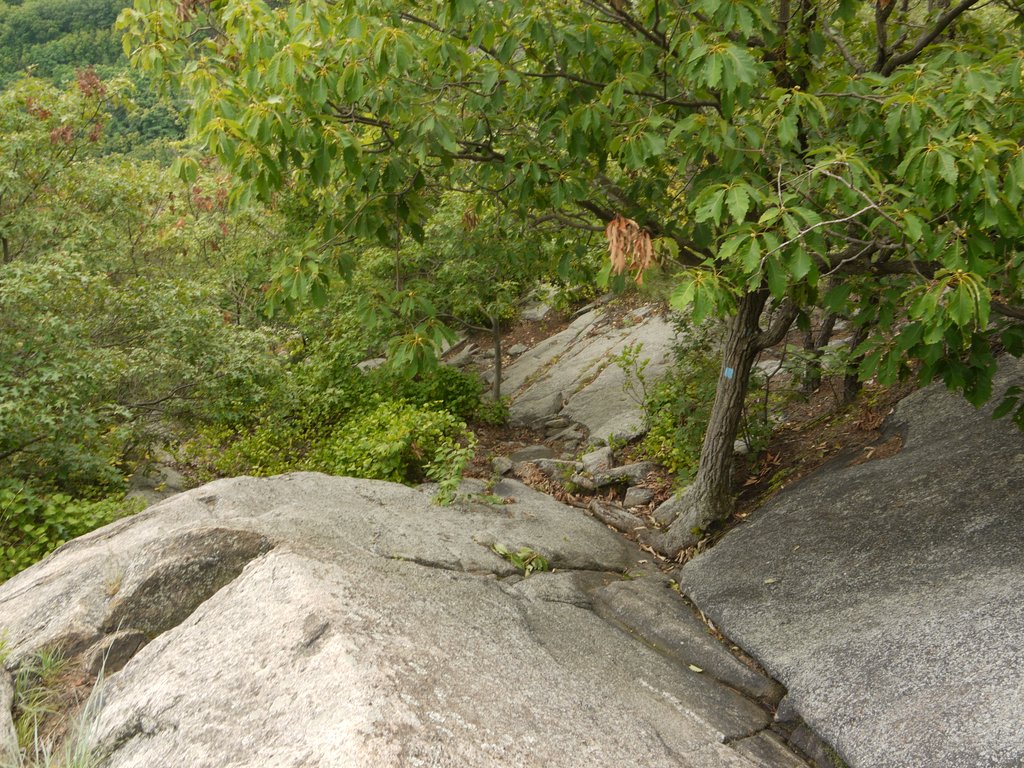
I didn’t get many photos of the descent down the flat rock on the west side:

Descending Popolopen Torne, Bear Mountain State Park, Orange County, NY

Descending Popolopen Torne

One hiking up the west side would see a number of scenic views on the way, unlike hiking up the east side, where my experience was that I didn’t have a scenic view until I reached the top.

12:11 p.m.: The hike up and down Popolopen Torne added another 1.0 mile to my day’s total. Rejoining the 1777W/1779 Trails back around 400′ of elevation, I crossed Popolopen Creek on this small footbridge:

Bridge across Popolopen Creek, Bear Mountain State Park, Orange County, NY

Bridge across Popolopen Creek

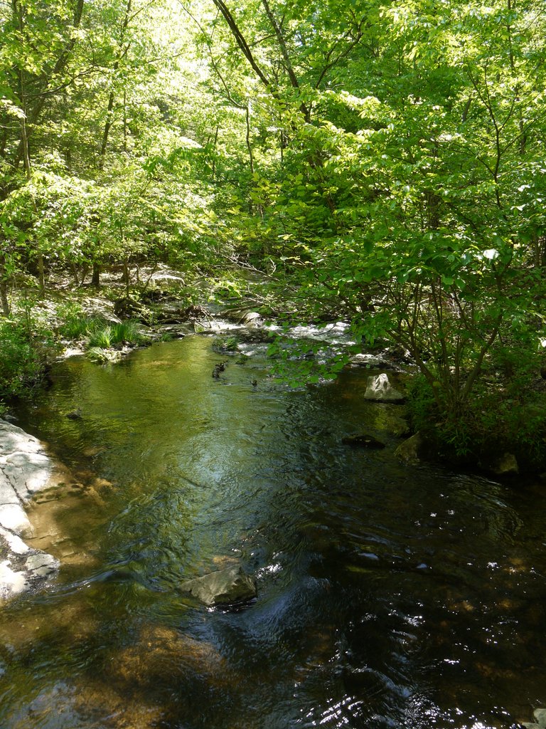
A view of the creek from the bridge:

Popolopen Creek, Bear Mountain State Park, Orange County, NY

Popolopen Creek

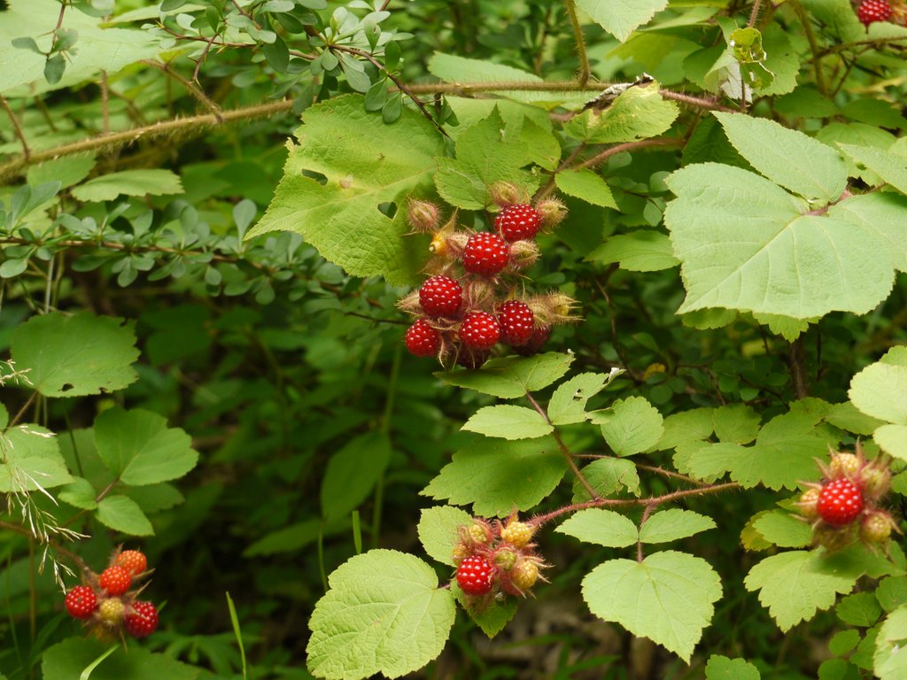
I noticed red raspberries in a few places:

Raspeberries, Bear Mountain State Park, Orange County, NY

Raspberries

Most of my hiking this day was within Bear Mountain State Park, though the Fort Montgomery State Historic Site may be its own entity, and parts of Popolopen Torne are owned by Scenic Hudson. Following along an old woods road, I left Bear Mountain State Park and entered Harriman State Park. I was again bothered by traffic noise, as now the trail was following a woods road below the Palisades, and close enough that in one place I passed a wheel cover and some other automotive debris. Popolopen Creek had veered off to enter West Point, but the woods road now followed another creek, drainage from Queensboro Lake.

After 1.2 miles, I reached an intersection where the 1779 trail turned into the woods toward the west, while the 1777W and Timp-Torne Trails turned into the woods toward the southeast. I took the 1777W Trail.

There was also a sign on the old woods road at that point that people should be cautious, as a pistol range was coming up. For 0.2 miles, the 1777W Trail detoured slightly away from the woods road, though once past the pistol range it returned to the woods road. I noticed three workers (sitting enjoying lunch or a break) who were at the range, where it appeared a brand new observation tower was constructed.

I had previously mentioned that Popolopen Torne was adjacent to West Point, but by this point the trails were about 0.2 mile outside the West Point property line. So who uses the pistol range? Perhaps it is for use by the park police?

Once past the pistol range, for another 0.2 miles the trails rejoined what became Queensboro Road, passing by a park facility, and exited onto Seven Lakes Drive. The drive quickly passed over the Palisades, and then the trail immediately left Seven Lakes Drive, re-entering the woods. The 1777W Trail left Harriman State Park and returned to Bear Mountain State Park, where after 0.8 miles it intersected the Appalachian Trail.

2:04 p.m.:  I left the 1777W Trail, following the AT north.

Appalachian Trail, Bear Mountain State Park, Orange County, NY

Appalachian Trail

2:10 p.m.: The trail climbed again, to 900′ of elevation, at which point the AT ran along an abandoned section of roadway. After 1.0 mile, the AT climbed a stairway and continued to the peak of Bear Mountain at 1284′. Having previously visited the peak, I opted to stay on the abandoned roadway, following the blue-blazed bypass trail:

Appalachian Trail, Bear Mountain State Park, Orange County, NY

Appalachian Trail

After 0.2 miles, the blue-blazed bypass trail rejoined the AT as it came down from the peak of Bear Mountain and continued to the north. I followed the AT for another 1.4 miles as the trail descended hundreds of stone steps placed decades ago, then passed by Hessian Lake and through the tiny Bear Mountain zoo, to the base of the Bear Mountain Bridge.

3:08 p.m.: This stitched panorama isn’t perfect: the sky above and below the bridge should be the same brightness level. I should switch to manual exposure when shooting pictures to prepare a panorama, but I never remember, and sometimes the resultant automatic exposures cause problems when I later assemble the photos into a panorama.

Bear Mountain Bridge, Bear Mountain State Park, Orange County, NY

Bear Mountain Bridge

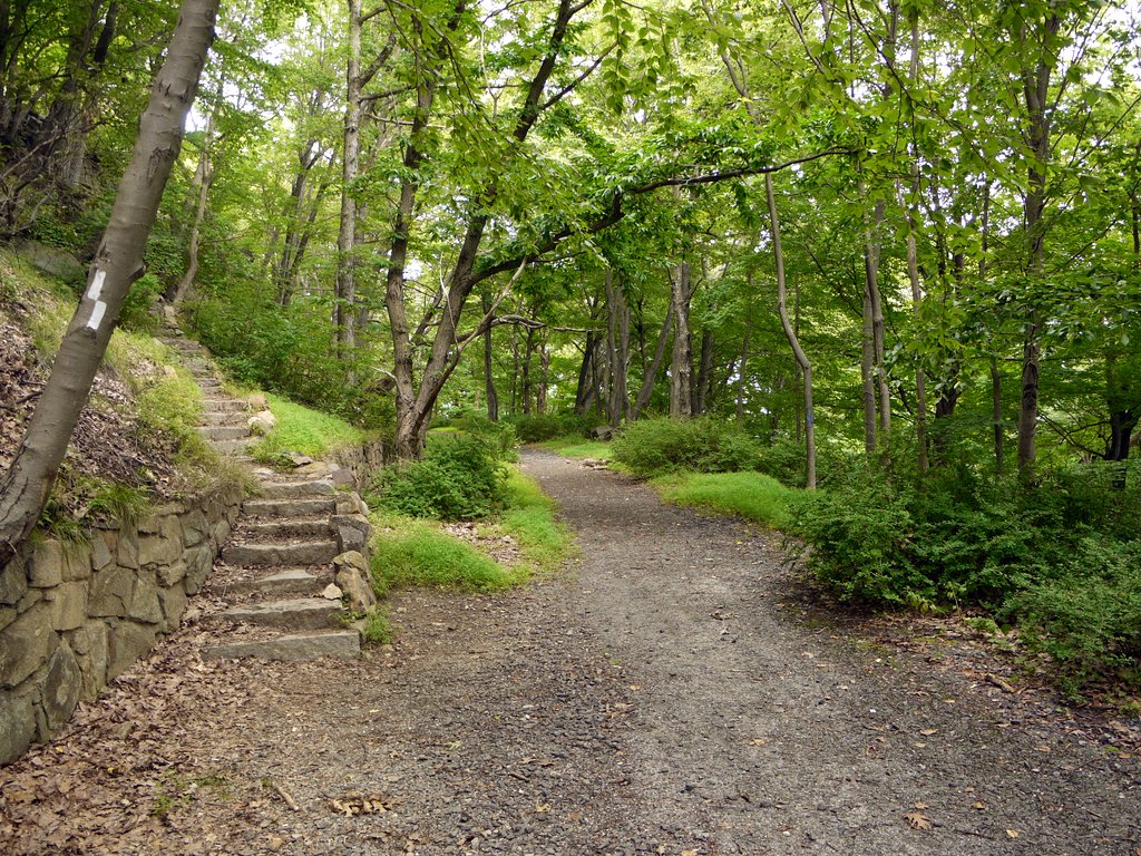
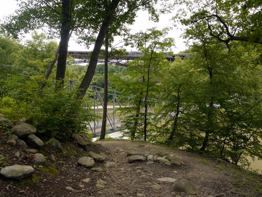
I then followed the blue-blazes Twin Forts Trail the 0.4 miles between the two forts. In the foreground of this photo, one sees a pedestrian bridge over Popolopen Gorge, while in the background one sees the U.S. Route 9W bridge over the gorge:

Twin Forts Bridge and Highway 9W Bridge, Orange County, NY

Twin Forts Bridge and Highway 9W Bridge

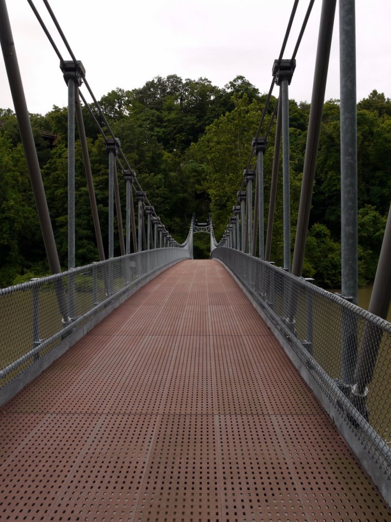
The pedestrian bridge over Popolopen Gorge:

Twin Forts Bridge, Bear Mountain State Park, Orange County, NY

Twin Forts Bridge

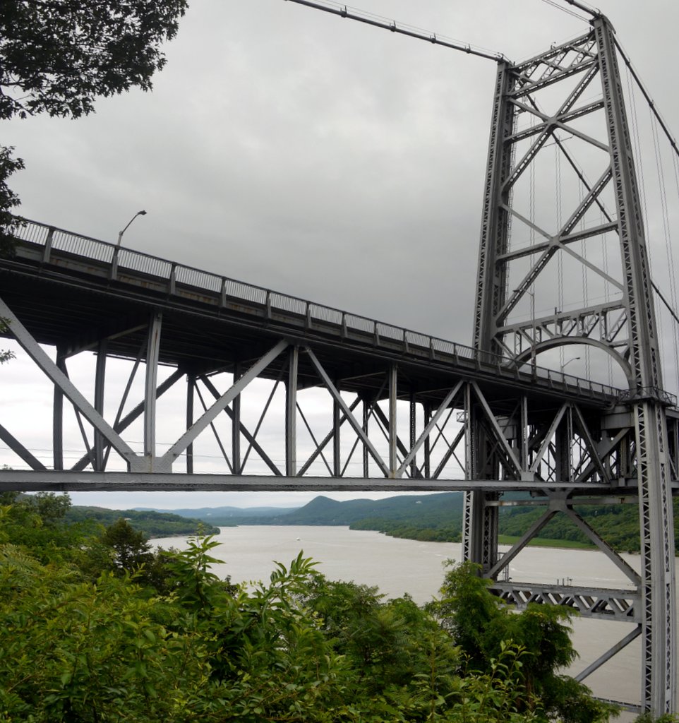
From the Twin Forts Bridge, looking east toward the Bear Mountain Bridge (and just above river level, the railroad bridge):

Bear Mountain Bridge and Railroad Bridge, Bear Mountain State Park, Orange County, NY

Bear Mountain Bridge and Railroad Bridge

I returned to my car at the Fort Montgomery parking area at 3:15, completing the 8.7 mile hike in a leisurely six hours of hiking.

Posted in Hikes | Tagged , , , , | Leave a comment

Harriman State Park, Rockland County, New York

Jon, Nachi and I drove to the Lake Sebago boat dock in Harriman. We were supposed to be joined there by another man, which would give us two cars with which we could do a shuttle hike beginning at the park’s southwest corner and leading back to Lake Sebago.

Unfortunately, the other man was confused about where to meet us, and the absence of cell phone service meant that we were not able to get a message to each other. After waiting 45 minutes, the three of us  decided to do a loop hike from Lake Sebago, and we later learned that our missing friend had gone to the Visitor’s Center, and ended up doing a solo hike from there.

10:54 a.m.: We began hiking south on the blue-blazed Seven Hills trail, which climbed 400′ in the first 1/3 mile. At 0.6 miles into the hike we crossed Diamond Creek, at which point the Seven Hills trail joined an old woods road, shown on the map as Woodtown Road. After another 0.1 miles we turned right, departing from the woods road but remaining on the blue trail. This intersection is shown on the map as having a point of interest, “Monitor Rock.” I did not look too closely, but do not remember anything too exciting there.

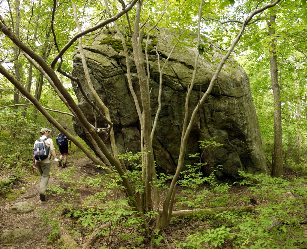
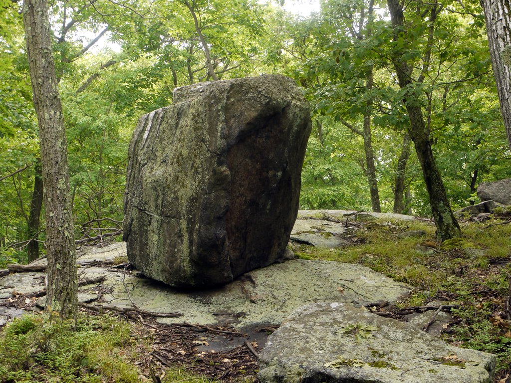
11:19 a.m.: However, soon after we made the right turn off the woods road, we walked past this unnamed glacial erratic, the first of a number of large boulders deposited by glaciers that we would see on this hike:

Glacial erratic on the Seven Hills Trail, Harriman State Park, Rockland County, NY

Glacial erratic

After another 0.6 miles we came to a very nice scenic view to the north. We passed the area again at the end of the day, and that photo is better, so I’ll present it toward the end of this post.

Then 0.1 mile past the scenic view we turned left onto the yellow-blazed Diamond Mountain Tower Trail.

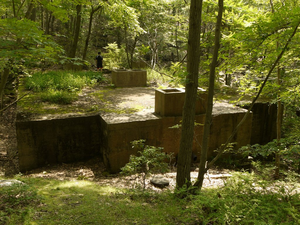
12:08 p.m.: After 0.45 miles we hiked past a rather ugly concrete structure that Jon climbed onto; I have since seen it described in other blogs as a septic tank. In the 1930s, the Civilian Conservation Corps was active in Harriman, constructing Pine Meadow Lake and intending to construct cabins and campsites around it. This work included constructing a water system and presumably a wastewater system. In the end, few of the camps were built and none remain. I speculate that this abandoned structure relates to that CCC project.

Abandoned septic tank, Harriman State Park, Rockland County, NY

Abandoned septic tank

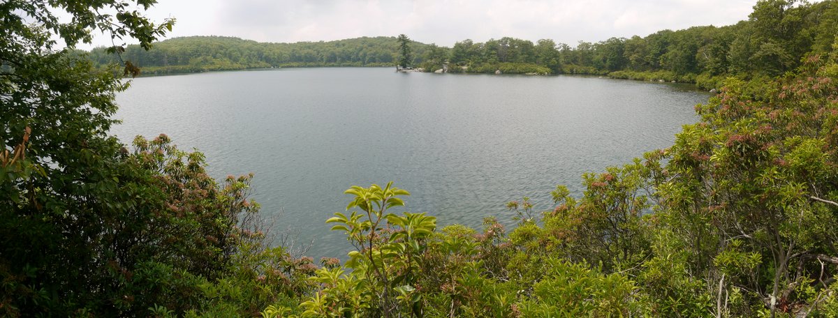
12:23 p.m.: In another 0.3 miles we had turned right onto the red-blazed Pine Meadow Trail, crossed Pine Meadow Brook, and arrived at the Pine Meadow Lake:

Pine Meadow Lake, Harriman State Park, Rockland County, NY

Pine Meadow Lake

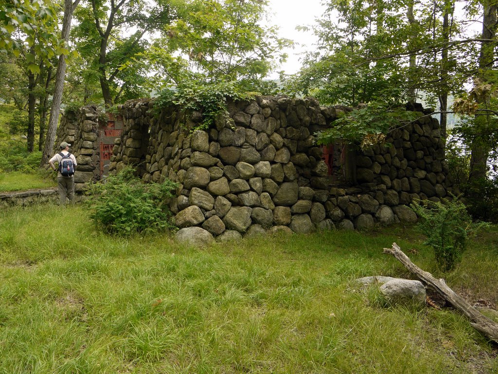
12:47 p.m.: We hiked clockwise around the perimeter of the lake, here encountering a ruin on the northern shore:

Ruin at Pine Meadow Lake, Harriman State Park, Rockland County, NY

Ruin at Pine Meadow Lake

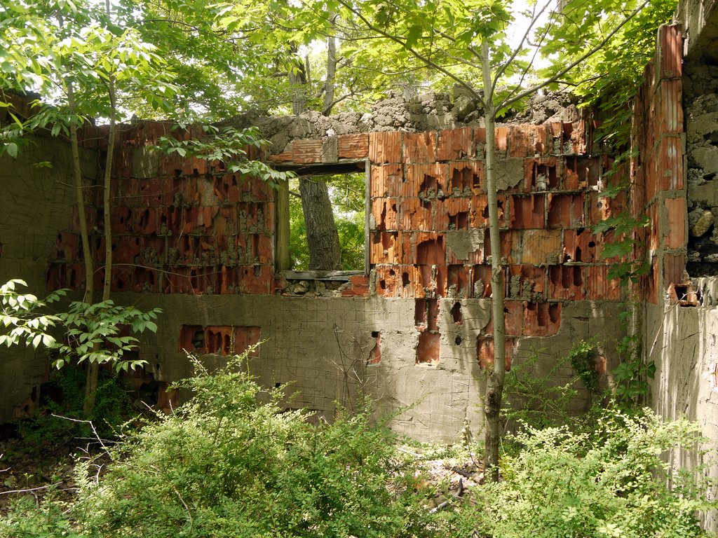
The interior of the ruin:

Interior of ruin at Pine Meadow Lake, Harriman State Park, Rockland County, NY

Interior of ruin at Pine Meadow Lake

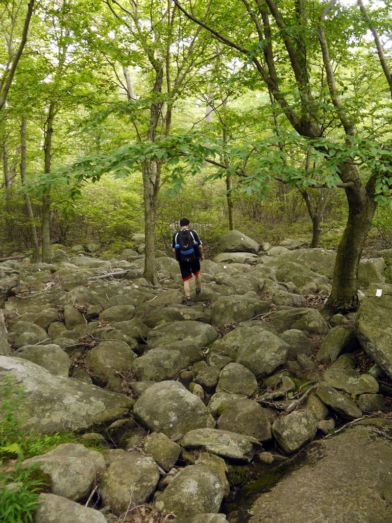
1:40 p.m.: After 0.7 miles (and a lunch break), we reached the eastern end of the lake. The red trail continued toward the east, but we turned off it, and for just 0.1 mile followed the white-blazed Conklin’s Crossing Trail, which led uncomfortably over a pile of large rocks:

Hiking across large rocks, Harriman State Park, Rockland County, NY

Hiking across large rocks

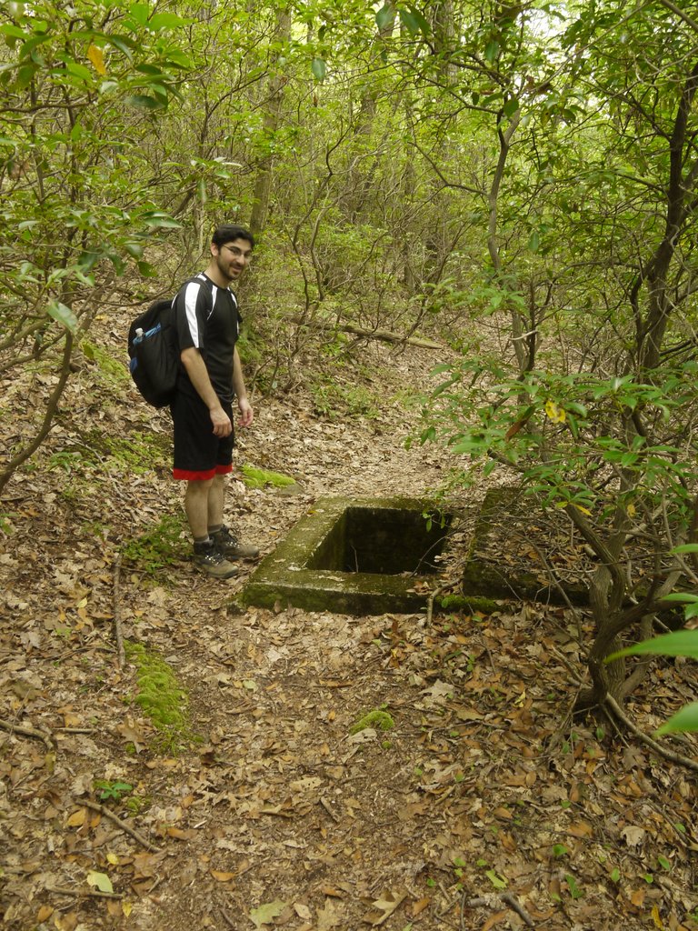
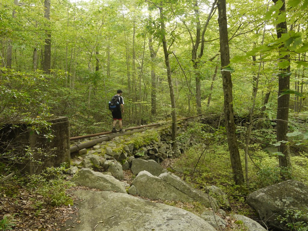
1:45 p.m.: We then followed an unmaintained trail that hugged the southern shoreline of the lake for 0.6 mile. There were many of these concrete box structures around the lake, associated with the abandoned (waste)water system.

Abandoned water works at Pine Meadow Lake, Harriman State Park, Rockland County, NY

Abandoned water works at Pine Meadow Lake

1:52 p.m.: In many places the abandoned pipes were visible above ground, as in this case:

Abandoned water works at Pine Meadow Lake, Harriman State Park, Rockland County, NY

Abandoned water works at Pine Meadow Lake

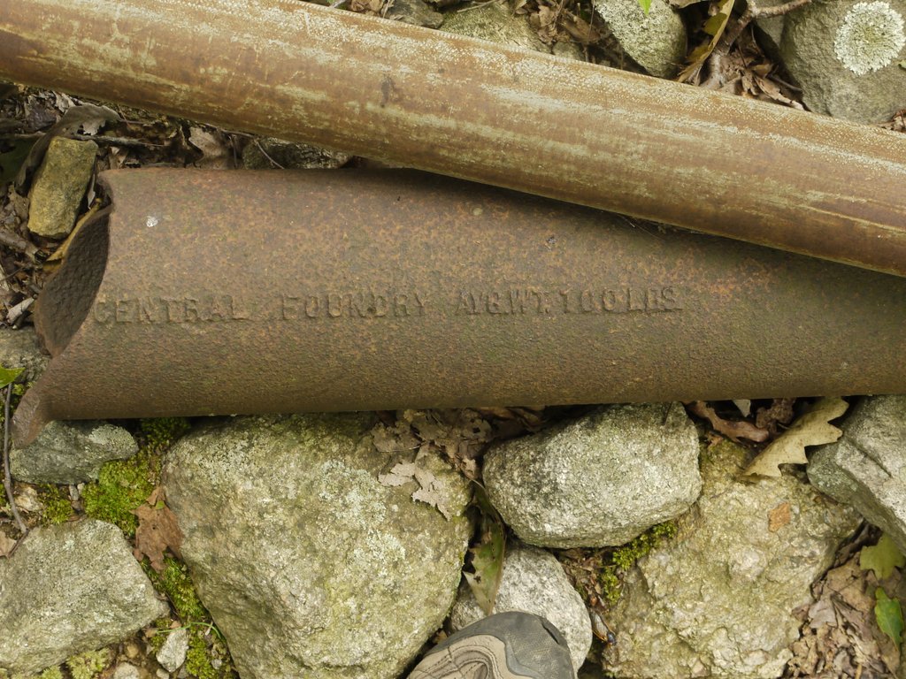
Abandoned (and broken) pipe:

Old water pipe at Pine Meadow Lake, Harriman State Park, Rockland County, NY

Old water pipe

I guess there’s no budget to remove these abandoned structures, which I generally felt were an eyesore. We also saw an immense amount of trash around the lake — it is disgraceful that people come to visit a park and then leave it trashed!

The unmaintained trail ended at an old woods road, the Torne Valley Road. We followed this about 0.15 miles north toward the lake, where I hoped to find and visit the Conklin Cemetery. The map shows the cemetery about 0.1-0.2 miles from the woods road, and I followed unblazed footpaths in that direction.

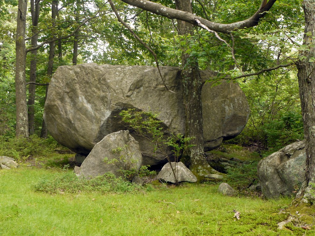
2:04 p.m.: I found another nice glacial erratic:

Glacial erratic at Pine Meadow Lake, Harriman State Park, Rockland County, NY

Glacial erratic

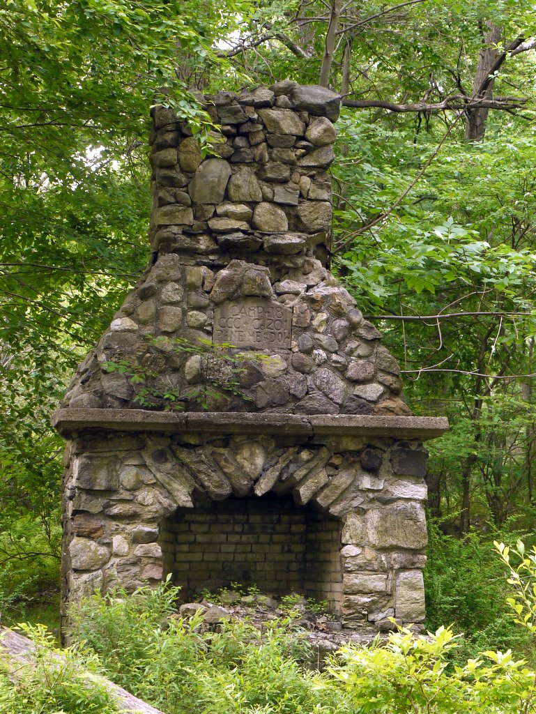
2:08 p.m.: I also found an impressive chimney that was engraved “CAMP-18 / CCC Co 201 / PINE MEADOW”:

CCC campsite fireplace at Pine Meadow Lake, Harriman State Park, Rockland County, NY

Civilian Conservation Corps campsite fireplace

We did not find the cemetery, though Dan Balough has photos available on his blog.

2:12 p.m.: It then began to rain. While we had brought raingear, Jon suggested a better solution, as he had discovered a shelter near the lake:

Inside a shelter at Pine Meadow Lake, Harriman State Park, Rockland County, NY

Inside a shelter

After a few minutes, the rain subsided, and we were able to leave the shelter. It may have sprinkled once or twice after that, and the wet leaves continued dripping on us, but we managed without raingear.

We backtracked south the short distance on the Torne Valley Road, then continued another 0.2 miles until it intersected another old woods road, Pine Meadow Road West. We followed that around the west end of the lake for 0.4 miles, arriving back at where we had first encountered the lake. We crossed Pine Meadow Brook once again, turning left on the red-blazed trail that paralleled the brook.

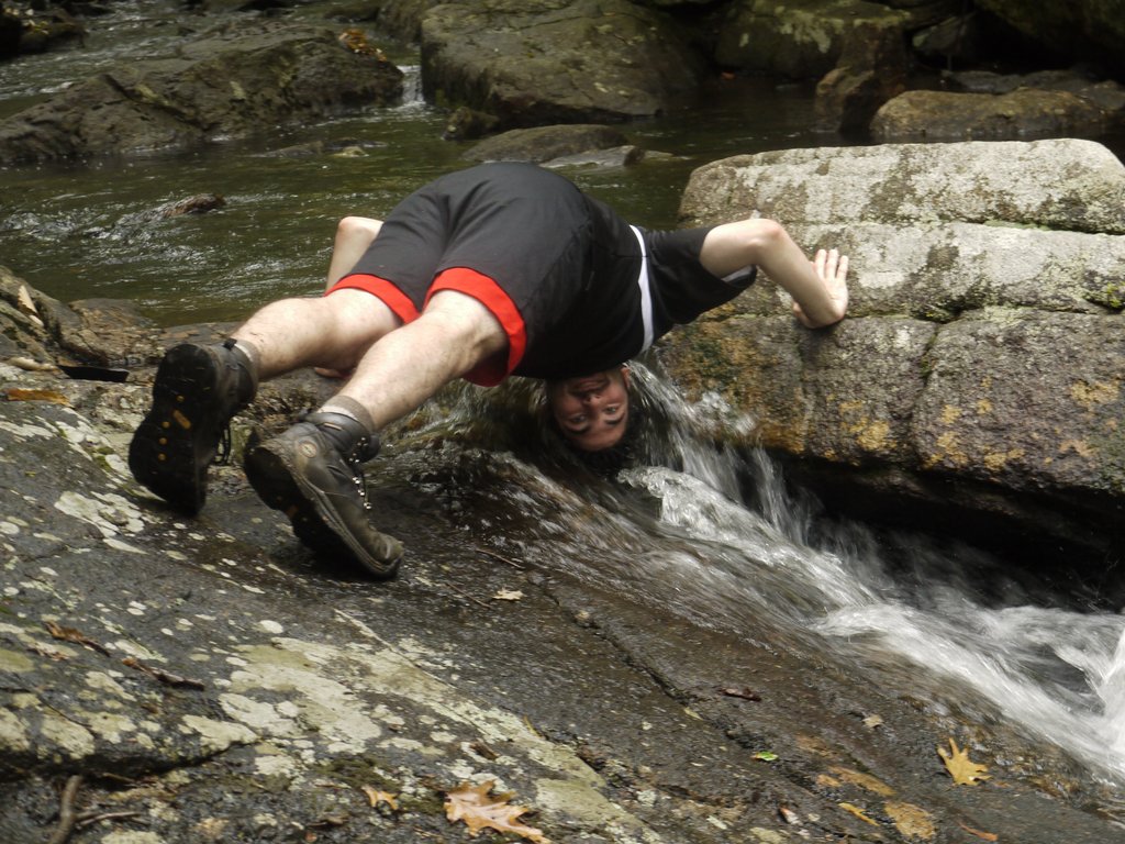
3:18 p.m.: After 0.6 miles we reached a spot on the brook adjacent to Go-Nus-Quah Rock, where Jon demonstrated how to cool off in the brook.

Cooling off in Pine Meadow Brook, Harriman State Park, Rockland County, NY

Cooling off in Pine Meadow Brook

One website states that Go-Nus-Quah Rock is named for a man-eating giant of Seneca folklore.

Admiring Gonusquah Rock, Harriman State Park, Rockland County, NY

Admiring Go-Nus-Quah Rock

Another view:

Side view of Gonusquah Rock, Harriman State Park, Rockland County, NY

Side view of Go-Nus-Quah Rock

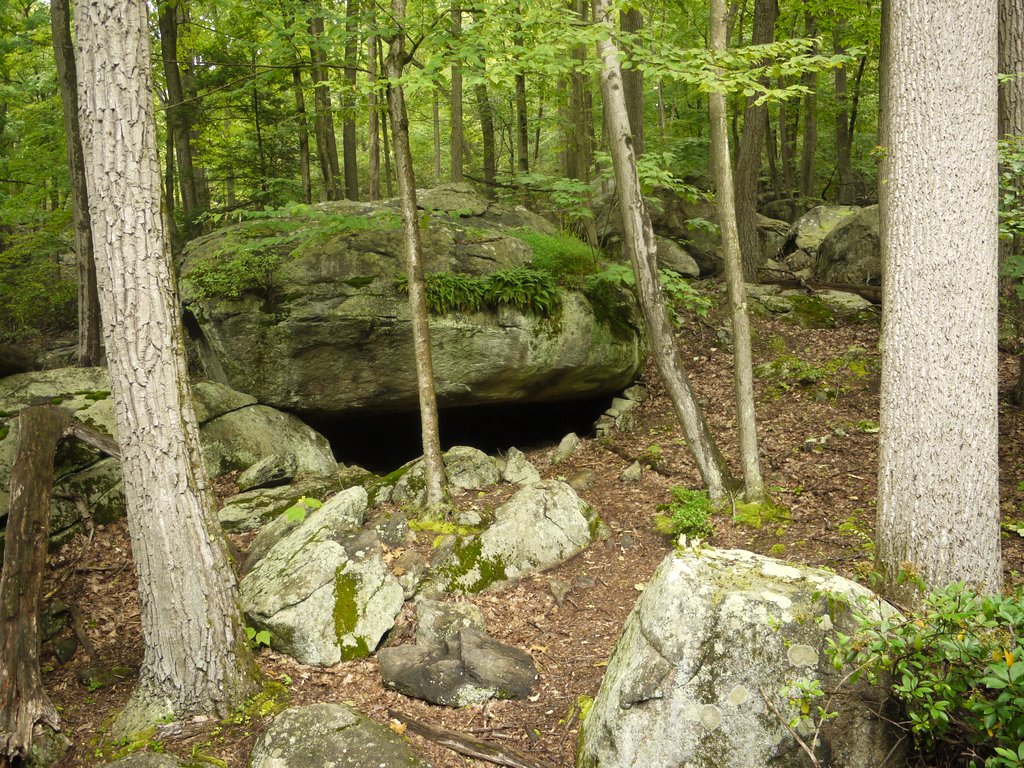
3:38 p.m.: Not too far away was another boulder that offered a shelter underneath it, though perhaps one appealing more to a bear than a human!

Boulder, Harriman State Park, Rockland County, NY

Boulder

We continued west on the red trail for another 1/4 mile, until it reached a bridge over the brook. At this point we stayed on the northern bank of the brook, following the white-blazed Kakiat Trail for 0.35 miles to the intersection with the orange-blazed Hillburn-Torne-Sebago Trail, onto which we turned right (northeast).

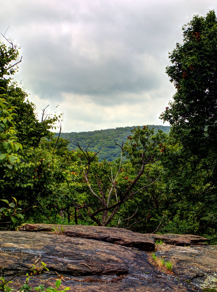
4:14 p.m.: We soon encountered a scenic view, of which I have prepared a fused HDR image:

Scenic view on Halfway Mountain, Harriman State Park, Rockland County, NY

Scenic view on Halfway Mountain

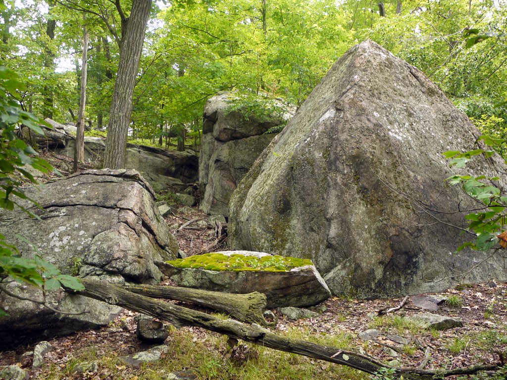
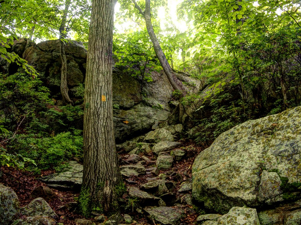
There were a number of nice boulders on the orange trail:

Boulders on Halfway Mountain, Harriman State Park, Rockland County, NY

Boulders on Halfway Mountain


Glacial erratic, Harriman State Park, Rockland County, NY

Glacial erratic

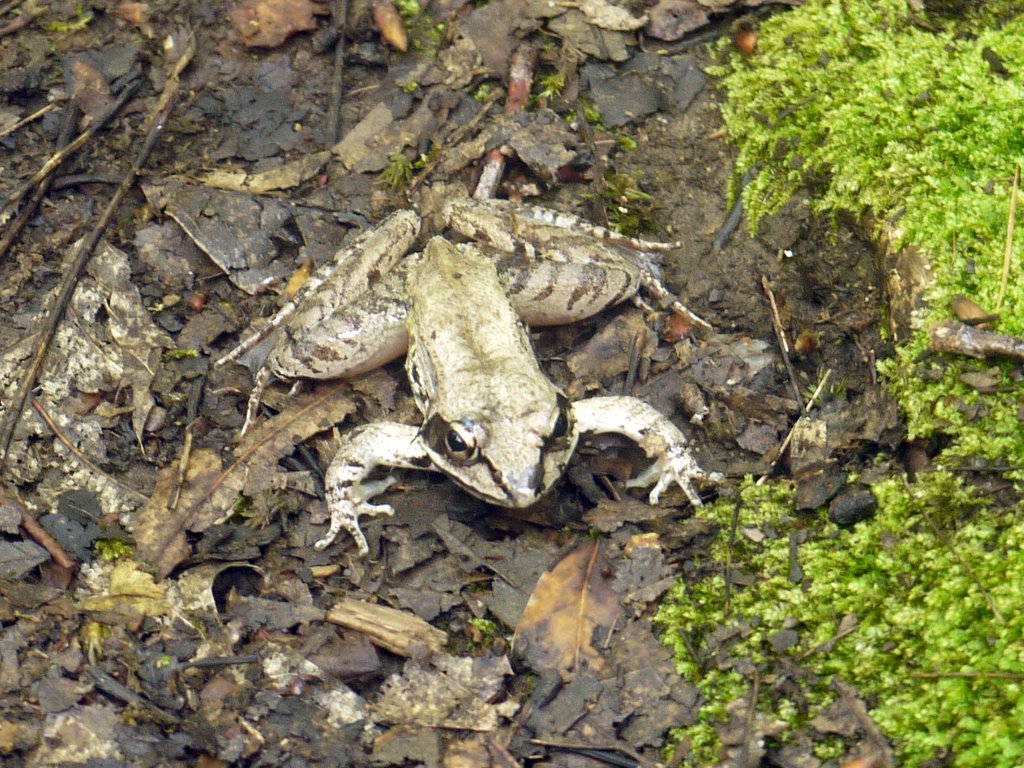
This wood frog was probably alarmed by our presence:

Wood frog, Harriman State Park, Rockland County, NY

Wood frog

4:34 p.m.: Another fused HDR image, of a short scramble on the orange trail:

Scramble on the Hillburn-Torne-Sebago Trail, Harriman State Park, Rockland County, NY

Scramble on the Hillburn-Torne-Sebago Trail

After 1.1 miles on the orange trail, we returned to the blue-blazed Seven Hills Trail with which we had began our hike.

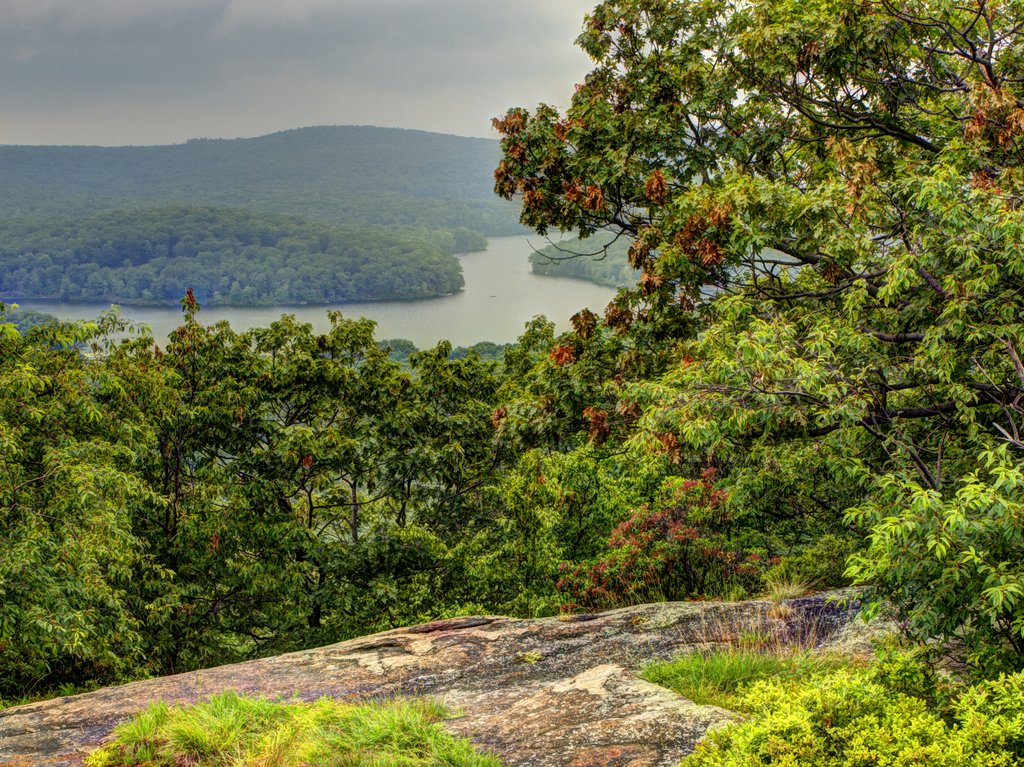
4:59 p.m.: After 0.2 miles we returned to the scenic view that we had enjoyed earlier in the day. As promised, here is the photo from that viewpoint, using High Dynamic Range imaging:

Scenic view on Seven Hills Trail, Harriman State Park, Rockland County, NY

Scenic view on Seven Hills Trail

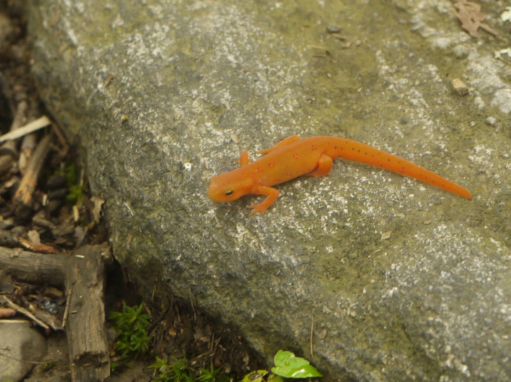
As we returned to Lake Sebago, we passed by two eastern salamanders, which I find to be very hard to photograph. They are also called red efts, though they look orange to me. A salamander begins as a tadpole, then as a juvenile is a land-based eft as seen here, then as an adult is back to being an aquatic creature.

Red eft, Harriman State Park, Rockland County, NY

Red eft

We returned to the parking area at 5:45 p.m., after a hike of 8.2 miles.

Posted in Hikes | Tagged , , | Leave a comment

Sterling Forest to Bellvale Mountain, Orange County, New York

Six of us met on Route 17A near the Mt. Peter Ski Area, then shuttled in an SUV 3.7 miles east on Route 17A, to a parking area inside Sterling Forest. There, around 11:00 a.m., we began hiking northeast on the Highlands Trail.

I have complained in the past that many of the trails in Sterling Forest are routed over old woods roads, which I do not like very much. This section of the Highlands Trail was for the most part a footpath, though it crossed a few roads. For the first mile and a half, the path ran parallel to Route 17A, and at a distance close enough to hear the traffic, which we did not appreciate. The path and road then diverged, as the road turned east while the Highlands Trail continued to the northeast.

11:48 a.m.: A small scenic view, not even noted on the map:

View from the Highlands Trail, Sterling Forest State Park, Orange County, NY

View from the Highlands Trail

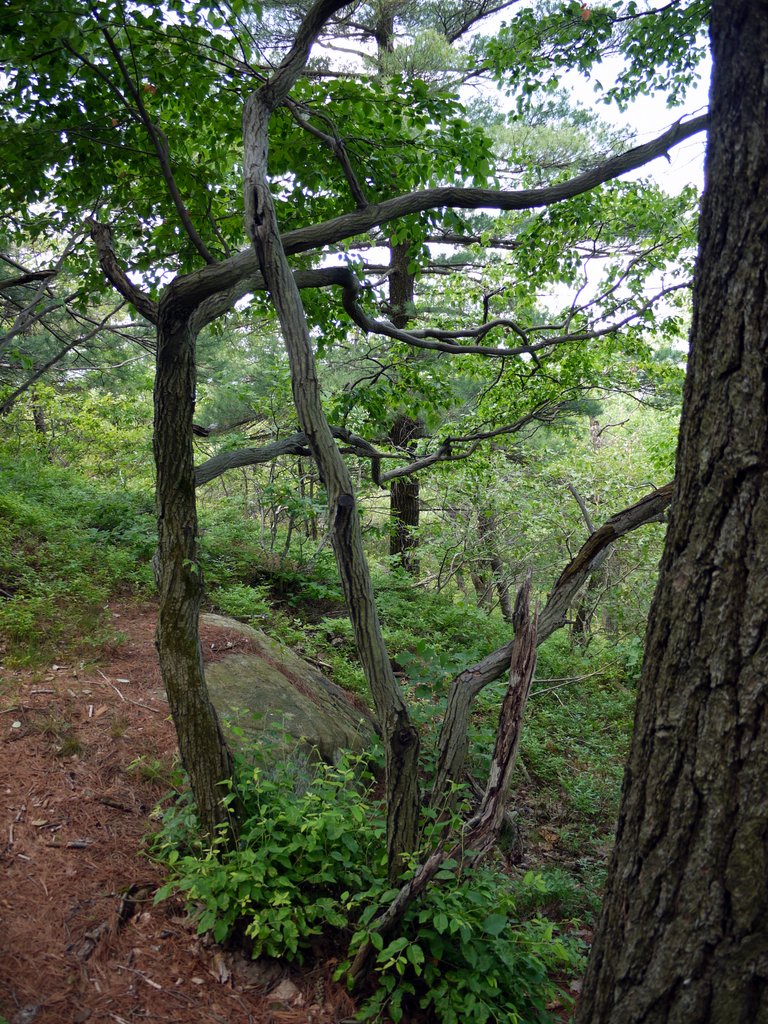
11:58 a.m.: We walked through a small area that was blanketed with pine needles, which I thought was very nice.

Pine Forest, Sterling Forest State Park, Orange County, NY

Pine Forest

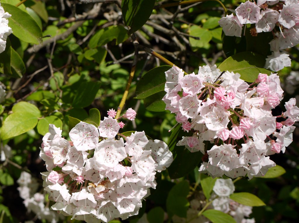
Mountain laurel was blooming! The sky was blue, coming just a couple of days after strong thunderstorms, and the temperature was warm, in the 80s at times.

Mountain laurel

Mountain laurel

12:47 p.m.: We intended to travel 3 miles on the Highlands Trail and then 5 miles on the Appalachian Trail. About 2.5 miles into the hike, we reached a small clearing that provided another scenic view.

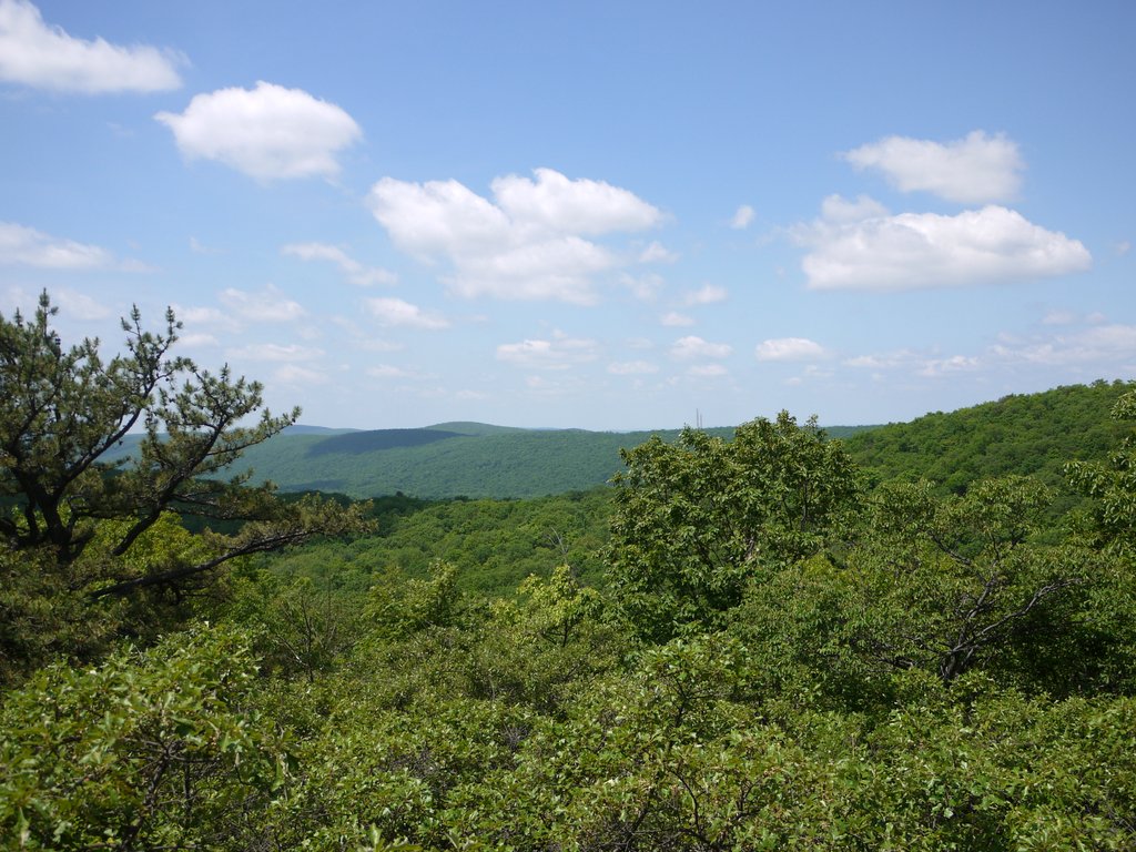
View from the Highlands Trail, Sterling Forest State Park, Orange County, NY

View from the Highlands Trail

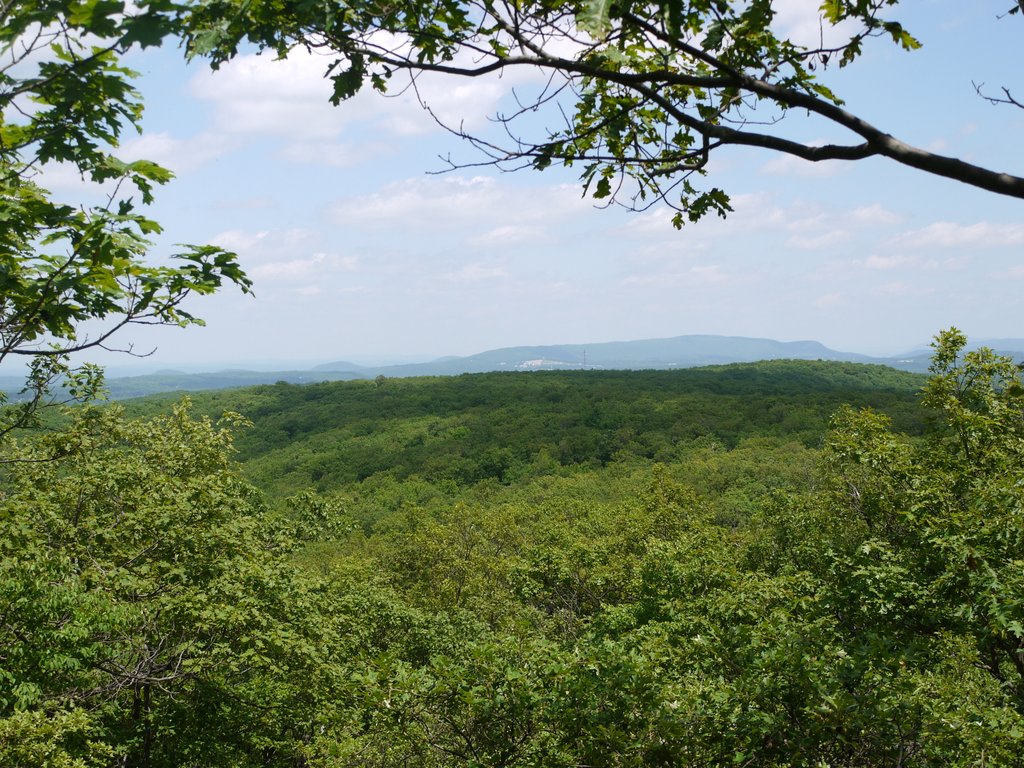
Another view:

View from the Highlands Trail, Sterling Forest State Park, Orange County, NY

View from the Highlands Trail

For a few minutes we followed yellow ribbons designating a new trail, but without any idea where it went, we backtracked to the clearing where we had the scenic view. We then somehow unintentionally began retracing our way southwest on the Highlands Trail, until after 1/3 to 1/2 mile I realized that we were going the wrong way — oops. We turned northeast again, and returned to the clearing and this time continued north on the Highlands Trail instead of being led astray by the yellow ribbons.

1:54 p.m.: This brought us to one final scenic view from the Highlands Trail.

View from the Highlands Trail, Sterling Forest State Park, Orange County, NY

View from the Highlands Trail

Soon afterwards, we reached the intersection with the Appalachian Trail, where we stopped for lunch. We saw four men pass through on longer hikes, though at 5 to 10 minute intervals. Three of them were hiking from Georgia to Maine, while one was “only” hiking about 100 miles. The first man mentioned that others would be along, so it’s possible that they were hiking “together,” if not that close together.

2:34 p.m.: After lunch, we turned left onto the southbound AT (which at this point meant we were traveling west).

Appalachian Trail, Orange County, NY

Appalachian Trail

2:46 p.m.: We reached a spot where two trees had fallen, almost seeming to clasp a tree in the middle that was still standing. The footpath was oriented toward the tree in the middle, and then turned sharply to the right to pass under the fallen tree on the right. It was a nice effect.

Fallen trees on the Appalachian Trail, Orange County, NY

Fallen trees

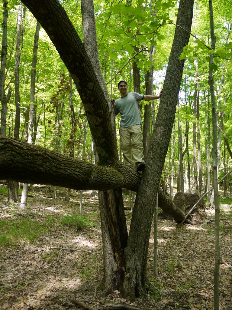
Jon could not resist the temptation to climb the fallen tree:

Climbing a fallen tree on the Appalachian Trail, Orange County, NY

Climbing a fallen tree

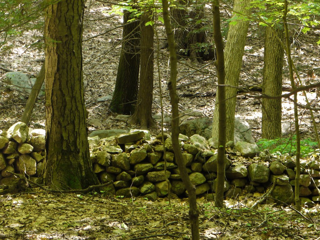
2:51 p.m.: I spotted a stone wall:

Stone wall on the Appalachian Trail, Orange County, NY

Stone wall

We were heading northwest toward Fitzgerald Falls, and the Appalachian Trail was joined by a nice stream. I thought it was odd that the map did not show the stream, which appeared substantial to me. The map showed Trout Brook that feeds the falls, but that enters the falls from the north, while we were heading to the falls from the southeast.

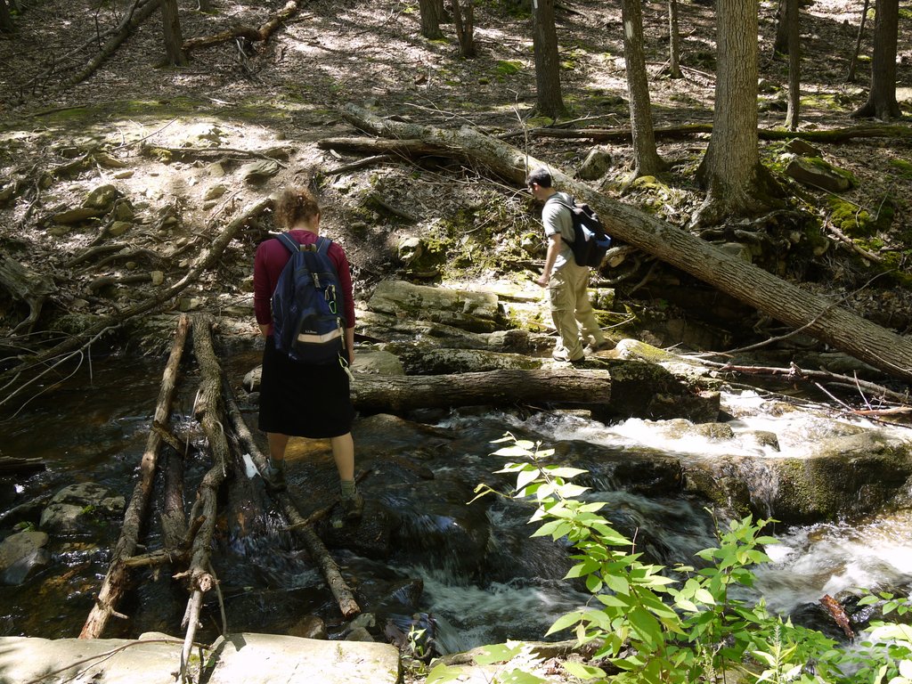
3:03 p.m.: Here, we had to cross the stream, and each of us picked a different route:

Crossing a stream on the Appalachian Trail, Orange County, NY

Crossing a stream

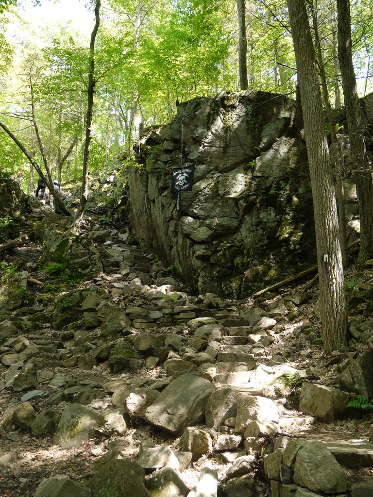
3:10 p.m.: About 1.25 miles from our lunch break, we reached the top of Fitzgerald Falls, where we saw a large trail crew working on the trail. This was the Jolly Rovers, an all-volunteer group that does heavy stone work. They were building a stone stairway on what had been a steep ascent/descent beside Fitzgerald Falls, creating a safer passage for hikers. Here’s a view from the bottom of the staircase showing some of their work, and their banner.

Stairway under construction, Fitzgerald Falls, Appalachian Trail, Orange County, NY

Stairway under construction

Here is Fitzgerald Falls:

Fitzgerald Falls, Appalachian Trail, Orange County, NY

Fitzgerald Falls

We lingered at the falls for a while, having our photos taken individually and as a group. The slow shutter speed blurred my waving right hand, but otherwise it’s not a bad photo:

Fitzgerald Falls, Appalachian Trail, Orange County, NY

Posing at Fitzgerald Falls

A closer shot of me:

Fitzgerald Falls, Appalachian Trail, Orange County, NY

Posing at Fitzgerald Falls

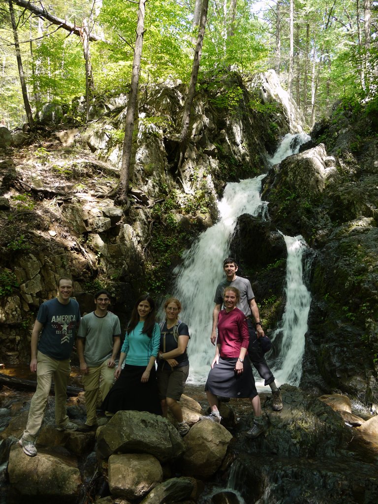
The group of six. A couple of people asked us what group we were, and we explained that we were not a group. I think if there are three or four hikers, or even five, no one asks if you are a group. Maybe six is the magic number that people begin to wonder if it’s an organized group.

Fitzgerald Falls, Appalachian Trail, Orange County, NY

The “Not a Group” Group at Fitzgerald Falls

We left Fitzgerald Falls and continued northwest. The AT soon crossed Lakes Road and returned to the woods on the west side. After another 0.5 mile (including an ascent of about 500′), the AT turned southwest.

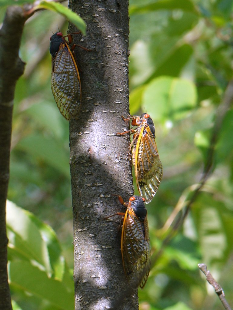
4:27 p.m.: We had earlier heard cicadas without seeing them, but now finally got to see many of them, both flying around and also resting on trees. This is “Brood II” of the 17-year cicadas. Some think they are beautiful, others think they are hideous.

17-year locusts

17-year locusts

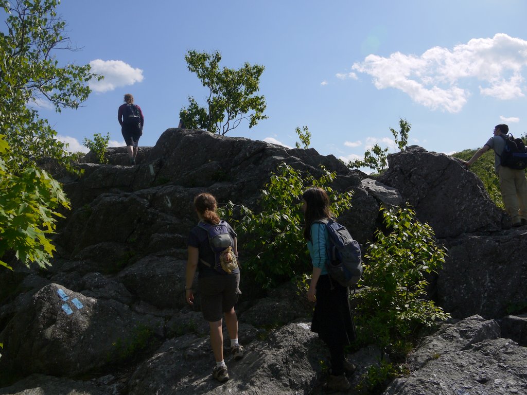
4:32 p.m.: Ascending Cat Rocks:

Cat Rocks, Appalachian Trail, Orange County, NY

Cat Rocks

Enjoying the view from the top of Cat Rocks:

Cat Rocks, Appalachian Trail, Orange County, NY

Cat Rocks

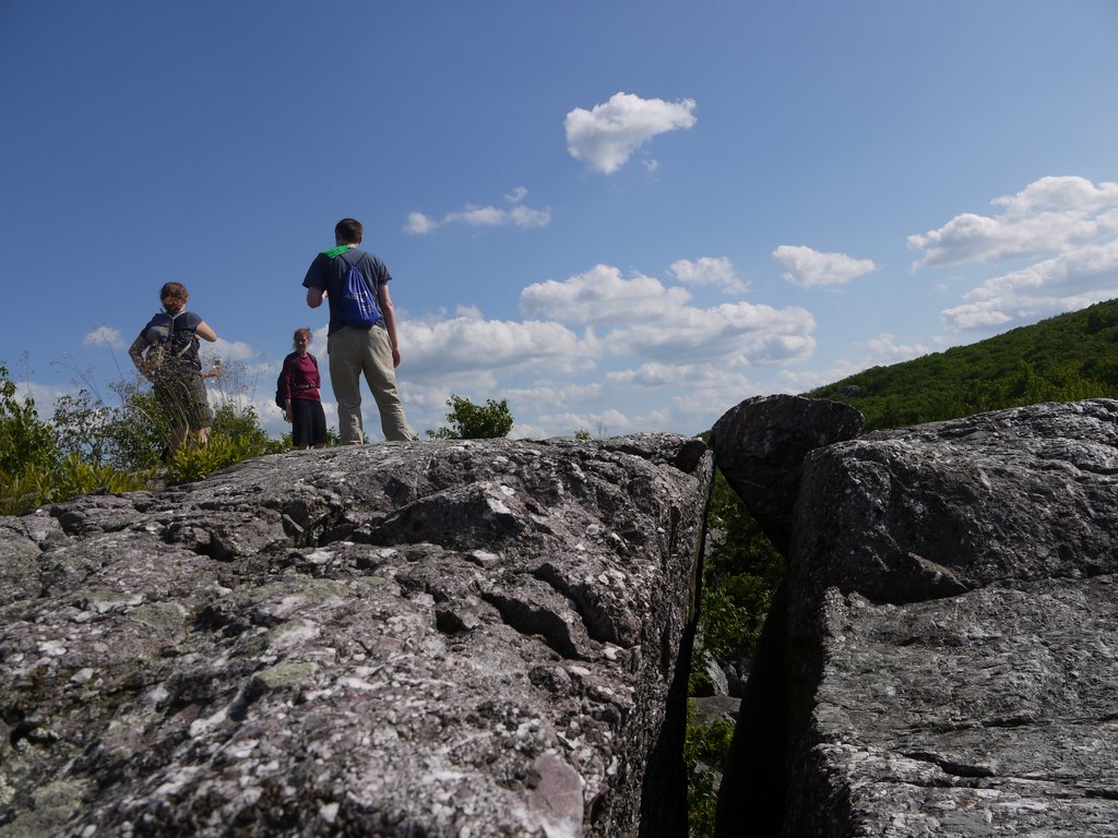
On top of Cat Rocks:

Cat Rocks, Appalachian Trail, Orange County, NY

Cat Rocks

4:54 p.m.: Ascending Eastern Pinnacles:

Eastern Pinnacles, Appalachian Trail, Orange County, NY

Eastern Pinnacles

The scenic view from Eastern Pinnacles, looking east toward Sterling Forest:

View from Eastern Pinnacles, Appalachian Trail, Orange County, NY

View from Eastern Pinnacles

We returned to where two of us had left our cars. I drove Rachel the 3.7 miles back to where she had left her SUV at the starting point of our hike.

Because of unintentionally backtracking a bit on the Highlands Trail, our planned 8 mile hike was probably closer to 9 miles. I didn’t think the scenic views were all that great, and the route (twice) crossed over a buried gas pipeline (with a wide cleared right-of-way) and also (twice) crossed under an electric line (with a wide cleared right-of-way). But Fitzgerald Falls was nice, and the company was nice, and everyone had fun. No one had ever been on this part of the Highlands Trail or Appalachian Trail before, and it’s especially nice to be able to see new sights, which was enabled in large part by being able to do the car shuttle and hike from point A to point B, instead of having to do a loop.

Posted in Hikes | Tagged , , , | Leave a comment

Long Pond Ironworks State Park, Passaic County, New Jersey

This was a solo hike, and I decided to check out trails in Tranquility Ridge County Park, Long Pond Ironworks State Park, and the southwestern part of Sterling Forest.

11:30 a.m.: I parked at the Monksville Reservoir boat launch on Beech Road, and then walked north. The NY-NJ Trail Conference map #100 for Sterling Forest shows that a green-blazed trail parallels Beech Road, but the map does not show any access to the parking lot, and I did not see any access while I was there. Thus, I began my hike by walking 0.3 miles north on Beech Road, past the dead end, to where a gate barred any further vehicles. At this point I entered Tranquility Ridge County Park and was able to pick up the green trail, though it ended almost immediately at a point on the yellow-blazed Hasenclever Iron Trail.

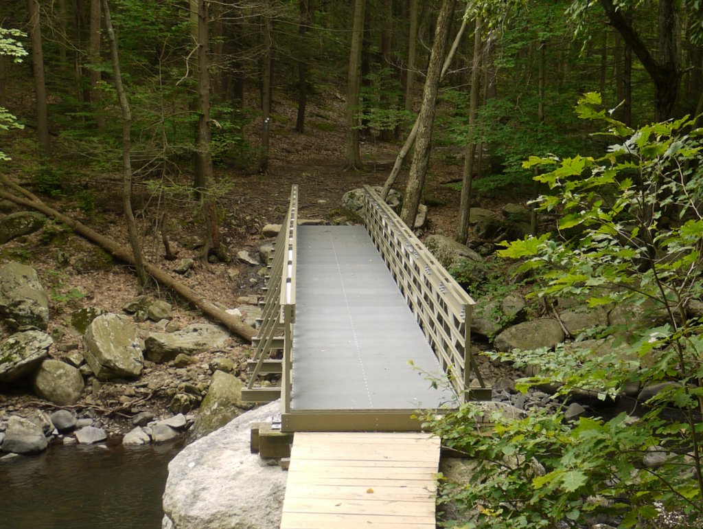
From this point, one could take the yellow trail straight (northwest), or take a sharp right into the woods (northeast). I continued straight on the yellow trail, and within minutes came to Beech Brook, a tributary of the Wanaque River. [In 1987, the Wanaque River and Beech Brook were impounded to form Monksville Reservoir.] It might have been challenging to find stepping stones to cross Beech Brook, but luckily there was a very substantial bridge there.

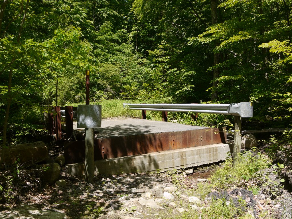
This bridge actually struck me as being quite odd, because it is obviously not a pedestrian bridge, but rather a very substantial vehicular bridge of concrete, steel, and asphalt, complete with guard rails. In addition, the east side of this short bridge had about a 3′ vertical difference between the ground and the bridge deck. There had apparently been vehicle traffic here serving Beech Farms into the 1960s, and the bridge was a relic from those days. At one point there must have been an approach to the bridge on the eastern side that had compensated for the 3′ vertical difference, and even with vehicles no longer using the bridge, I was surprised that no one had arranged steps of wood or stone to assist hikers in climbing to or from the bridge. The bridge design itself provided for a step at about the halfway point, but a 1.5′ step is almost three times the height of an average 8″ step.

Bridge Over Beech Brook, Tranquility Ridge County Park, Passaic County, NJ

Bridge over Beech Brook

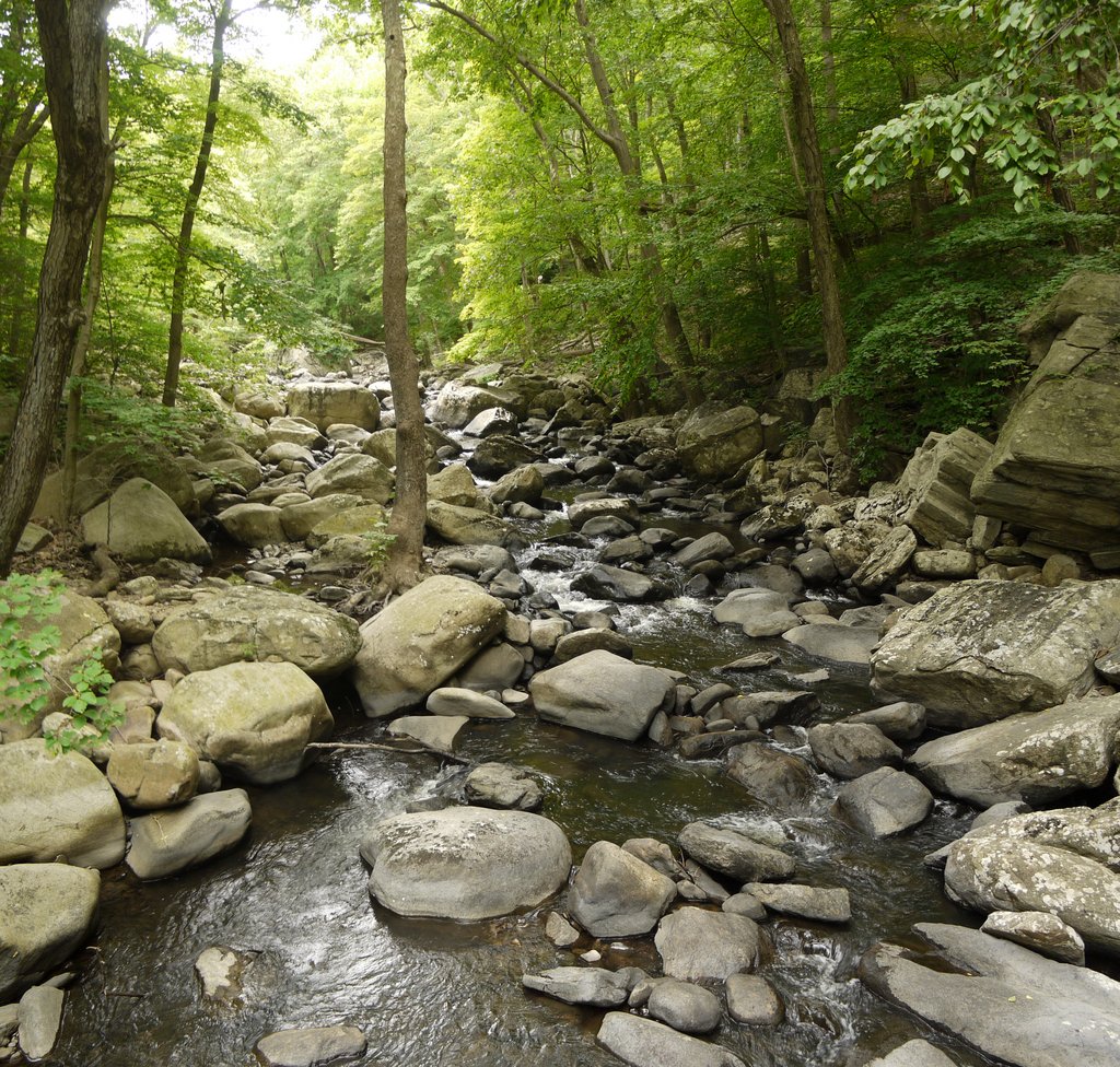
A view of Beech Brook, from the bridge:

Beech Brook, Tranquility Ridge County Park, Passaic County, NJ

Beech Brook

Almost immediately after crossing the bridge I came to an intersection of the yellow trail and a prominent old woods road. A sign explained that the woods road led to the former site of the Beech Farms, where people had lived until the 1960s. That woods road and others are shown on my map, but I continued west on the yellow trail. At this point I had only traveled about 0.3 miles from the gate at the end of Beech Road.

Intersection of Hasenclever Iron Trail and Woods Road to Beech Farms, Passaic County, NJ

Intersection of Hasenclever Iron Trail and woods road to Beech Farms

The yellow trail left Tranquility Ridge County Park and entered Long Pond Ironworks State Park.

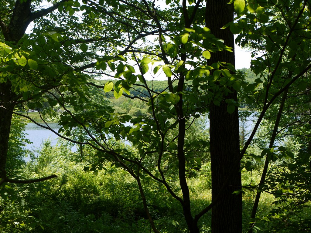
11:52 a.m.: After another 0.5 miles, the yellow trail skirted the Monksville Reservoir, which I could see peeking through the foliage:

Monksville Reservoir, Passaic County, NJ

Monksville Reservoir

This tree did not seem to have fallen, but it sure was leaning:

Leaning tree

Leaning tree

Wild flowers:

Wild flowers

Wild flowers

After another 0.5 miles, the yellow trail ended at an intersection with the teal-blazed Highlands Trail (which in this area was also blazed blue as the Sterling Ridge Trail). I also saw orange ribbons tied to trees at this intersection; orange ribbons may indicate the intent to blaze a new trail. I followed these ribbons about 50′ to the west, where they ended at the Wanaque River. I am not sure what the orange ribbons were trying to point out, though I noticed that they were passing over small quantities of coal and slag glass left from the iron works projects.

12:31 p.m.: I returned to the Highlands Trail and first followed it south for about 100 yards, arriving at the Wanaque River at what had once been a bridge crossing:

Wanaque River, Long Pond Ironworks State Park, NJ

Wanaque River

I had known prior to my hike that this bridge was missing. It had been destroyed by Hurricane Irene in August 2011, and is slated for replacement in Fall 2013. The Wanaque River is no little stream or brook that can be crossed by stepping stones: that is deep water!

I noticed that on the west side of the Wanaque River there are a number of old structures associated with the Long Pond Ironworks. It might be interesting to visit someday, but with the bridge out, there was “no way to get there from here.”

I turned around and followed the Highlands Trail to the north. I previously complained about the trails in Sterling Forest, noting that many of them ran over old woods roads, which I found to be rocky and otherwise subject to erosion and flooding. I had been complimentary to the Highlands Trail, which was a footpath. However, I learned on this day’s hike that the Highlands Trail is also routed over old woods roads in some areas, and it seemed that a significant portion of the hike involved stumbling over rocks and either slogging through an ancient muddy road or detouring around mud puddles. At least these were historic woods roads, with some of them dating back to the mid-1700s.

The Highlands Trail intersected another woods road, and I stayed on the Highlands Trail. Here, the path crosses a tiny stream:

Highlands Trail at stream crossing, Long Pond Ironworks State Park, NJ

Highlands Trail at stream crossing

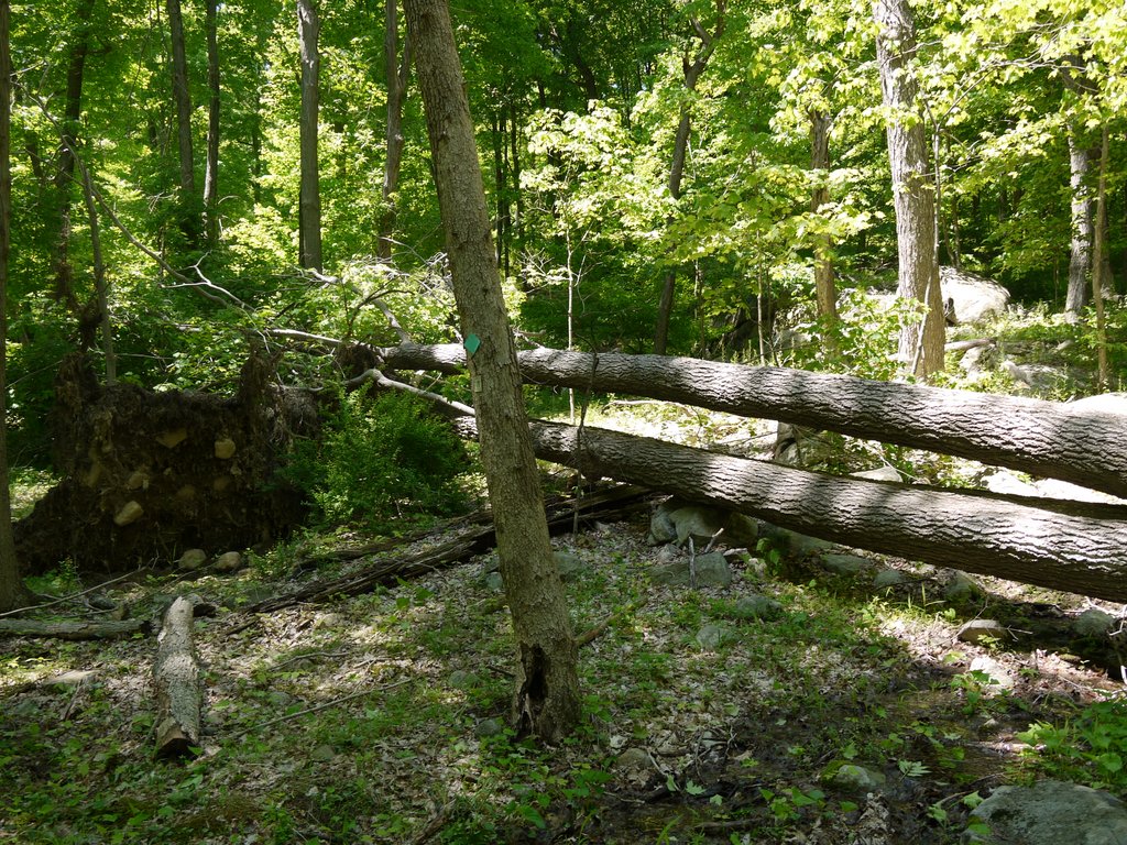
The map showed that I was leaving Long Pond Ironworks State Park and re-entering Tranquility Ridge County Park. I encountered many fallen trees that had yet to be cleared from the trails. In some cases I went around them; in other cases I climbed up and over them, as here:

Climbing over fallen tree, Highlands Trail, Tranquility Ridge County Park, Passaic County, NJ

Climbing over fallen tree

More fallen trees:

Fallen trees, Highlands Trail, Tranquility Ridge County Park, Passaic County, NJ

Fallen trees

The hike had started at around 500′ in elevation and had remained relatively flat on the way to the Wanaque River, at most gaining 100′. Now, however, there was a bit of a workout, as the trail climbed Big Beech Mountain, which peaks out at 1199′.

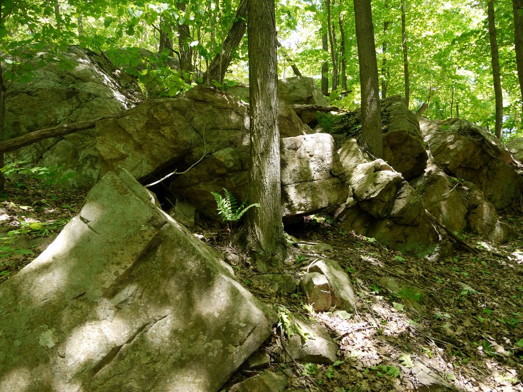
1:57 p.m.: Here the trail climbed past boulders:

Boulders, Highlands Trail, Tranquility Ridge County Park, Passaic County, NJ

Boulders on the Highlands Trail

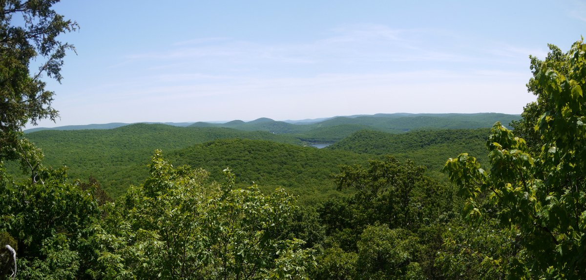
2:04 p.m.: I reached the one and only scenic view of the day, from Big Beech Mountain, looking toward the southeast:

Scenic View from Big Beech Mountain, Tranquility Ridge County Park, Passaic County, NJ

Scenic view from Big Beech Mountain

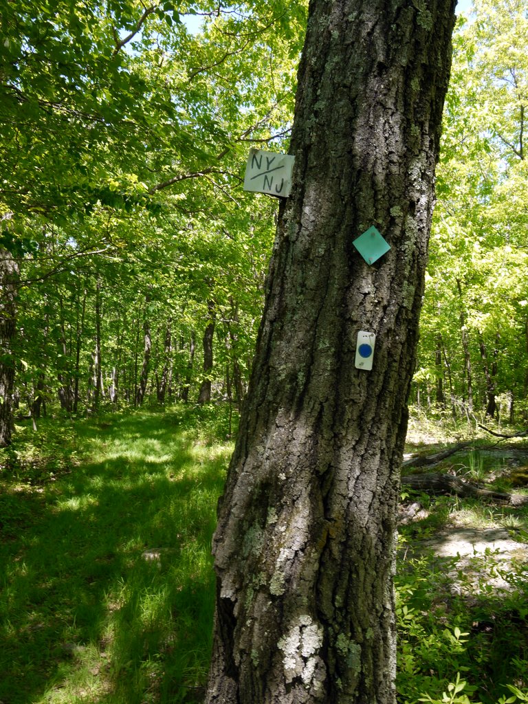
2:30 p.m.: The trail crossed the border into New York, entering Sterling Forest:

Highlands Trail, at New York/New Jersey border

Highlands Trail, at New York/New Jersey border

2:37 p.m.: About 2.2 miles from the Wanaque River, I reached an intersection with the east-west Lake-to-Lake trail, which is blazed white (with a red stripe). I turned west onto that trail, which was an old woods road, quite eroded and full of puddles.

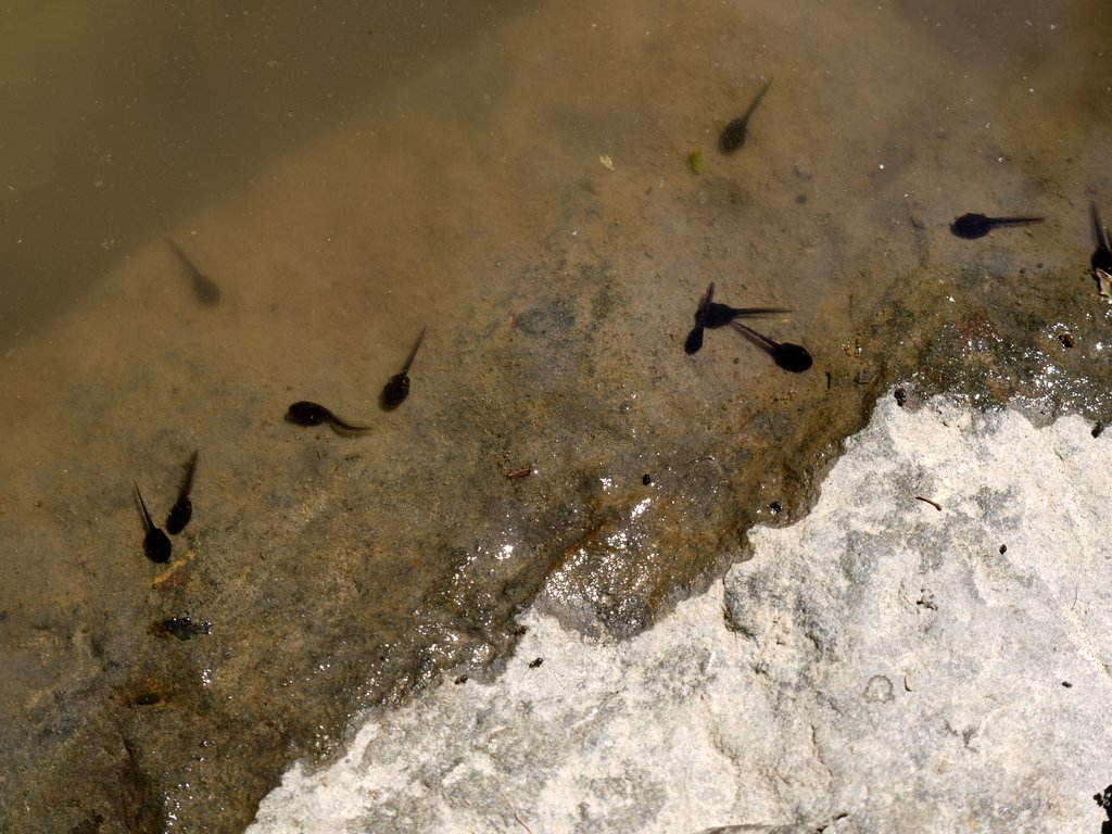
2:42 p.m.: One of the visitors to the website said that I should recognize these puddles as vernal pools, important for many critters, such as these cute tadpoles:

Tadpoles

Tadpoles

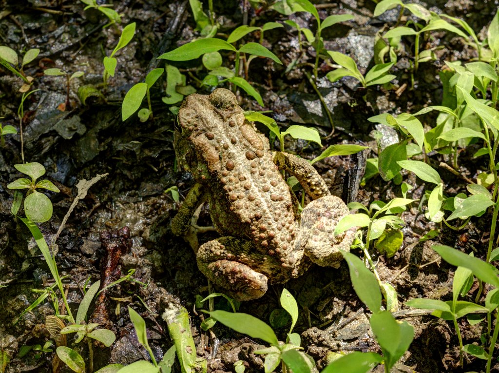
Is this Eastern American Toad, Bufo a. americanus, one of the parents?

Eastern American Toad

Eastern American Toad

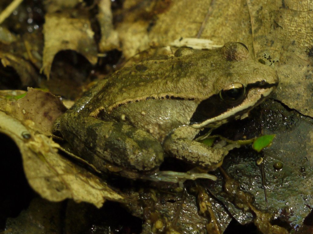
2:52 p.m.: Another puddle, er, vernal pool, and I met this wood frog, Rana sylvaticus. He blended very well with the leaves, and perhaps thought that I didn’t see him.

Wood Frog

Wood Frog

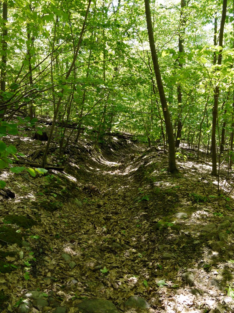
This is an example of the erosion on the woods road used for the Lake-to-Lake Trail.

Eroded Lake-to_Lake Trail, Sterling Forest, NY

Eroded Lake-to-Lake Trail

2:59 p.m.: The Lake-to-Lake Trail dipped below the border into New Jersey for a short distance, cutting through both Tranquility Ridge County Park and Long Pond Ironworks State Park, before turning north into New York again.

Lake-to_Lake Trail at the New York/New Jersey border

Lake-to-Lake Trail at the New York/New Jersey border

3:06 p.m.: This is Jennings Creek, one of the tributaries of the Wanaque River. The trail had a bridge across the creek.

Jennings Creek, Sterling Forest, NY

Jennings Creek

3:15 p.m.: After 1.1 miles on the Lake-to-Lake Trail, I came to a woods road that the map showed I wanted. I turned south and followed that for 0.2 miles, back into New Jersey. That brought me to the northern end of the yellow-blazed Jennings Hollow trail. [The northern end of the trail is an elliptical loop; I followed the eastern side of the ellipse to the south, and then at the southern end of the ellipse continued on a linear part of the trail.]

3:22 p.m.: I’ve seen plenty of twinned trees before, but I don’t know if I’ve ever seen triplets before. This was pretty cool.

Triplet Trees, Jennings Hollow Trail, Long Pond Ironworks State Park, NJ

Triplet trees

I had to again cross Jennings Creek, but this time without a bridge. This looks like fun!

Crossing Jennings Creek, Jennings Hollow Trail, Long Pond Ironworks State Park, NJ

Crossing Jennings Creek

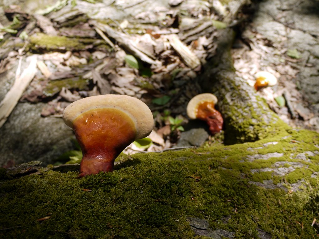
But first, I took a photo of beautiful fungus growing at the base of a shattered tree:

Colorful Fungus, Jennings Hollow Trail, Long Pond Ironworks State Park, NJ

Colorful fungus

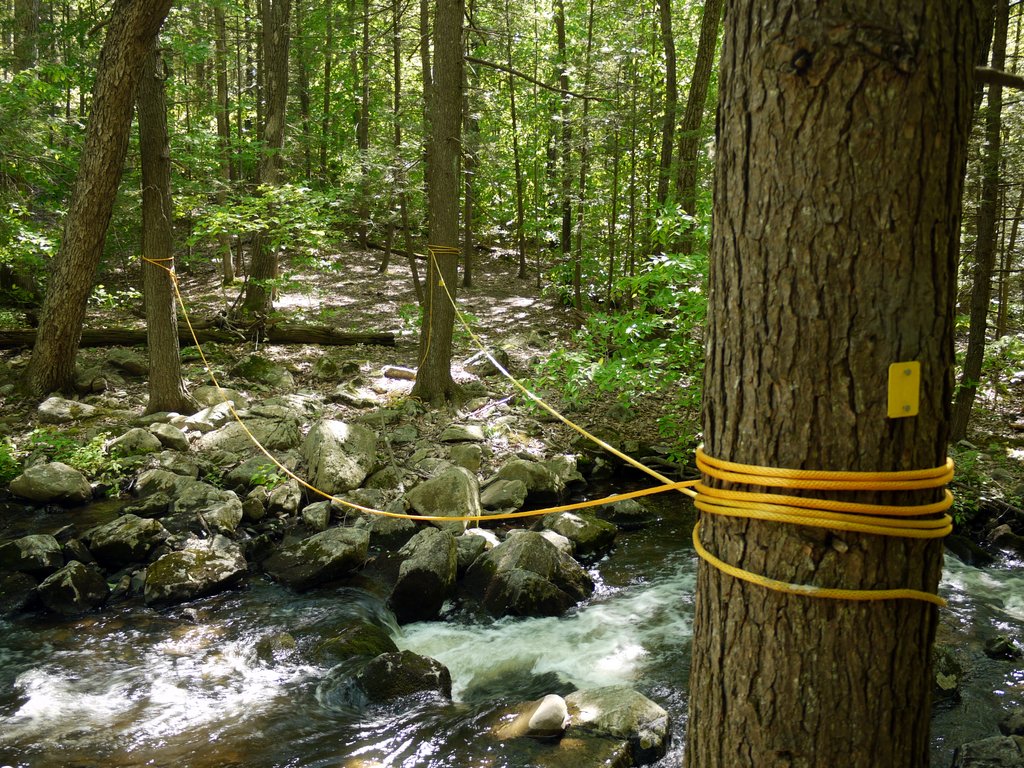
Okay, I survived Jennings Creek without any trouble. While I was able to walk across the stepping stones without falling into the creek, it was very nice to be able to hold onto the ropes while making the crossing. Thanks to whoever left those ropes there for hikers!

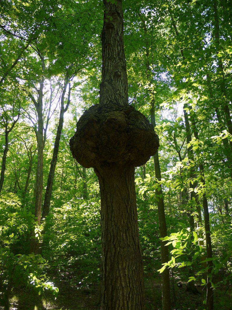
4:02 p.m.: By now I was on the linear part at the southern end of the Jennings Hollow Trail. Here’s an oak tree with a huge burl in the middle of the trunk:

Burl in oak tree trunk, Jennings Hollow Trail, Long Pond Ironworks State Park, NJ

Burl in oak tree trunk

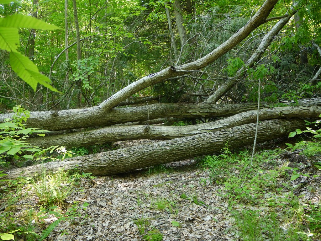
4:05 p.m.: Downed trees. I was probably due west of where all the downed trees had been on the Highlands Trail.

Downed trees, Jennings Hollow Trail, Long Pond Ironworks State Park, NJ

Downed trees

4:14 p.m.: After 1.5 miles, the Jennings Hollow Trail reached its southern end, intersecting with the Highlands Trail, which I followed to the south.

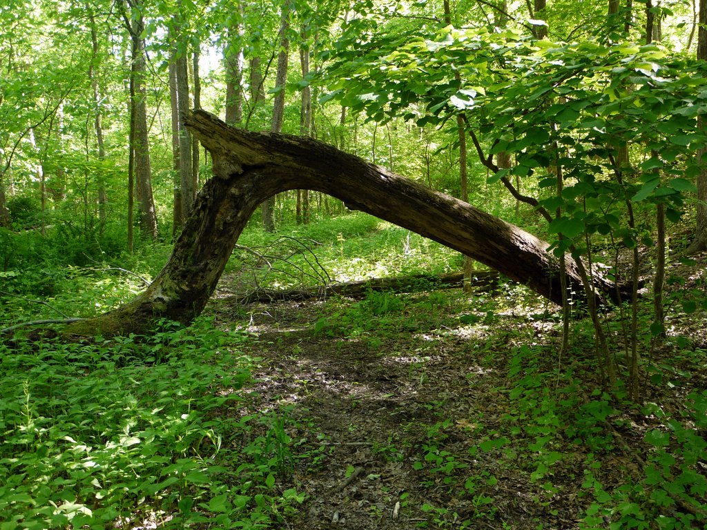
4:25 p.m.: The Highlands Trail passed under this arch of a fallen tree:

Highlands Trail Passes Under a Fallen Tree, Long Pond Ironworks State Park, NJ

Highlands Trail passes under a fallen tree

4:28 p.m.: After 0.6 miles, the Highlands Trail reached the intersection with the yellow-blazed Hasenclever Iron Trail, and I turned onto that, heading the 1.6 miles back toward my car.

4:56 p.m.: Here the trail passes under vines:

Vines, Hasenclever Trail, Long Pond Ironworks State Park, NJ

Vines

I returned to my car around 5:15 p.m. I estimate the hike at 9 miles, and it took me 5-3/4 hours. As I noted, there wasn’t much elevation gain: one climb from 500′ to around 1100′ or 1200′, and otherwise it was flat or downhill.

Posted in Hikes | Tagged , , | Leave a comment

Harriman State Park, Rockland County, New York

My hiking partners today were Suri, Greg and Malky. We went to the southwest corner of Harriman, a part of the park I had never visited before. From Route 17, we turned east onto Seven Lakes Drive, and parked at the Reeves Meadow Visitor Center.

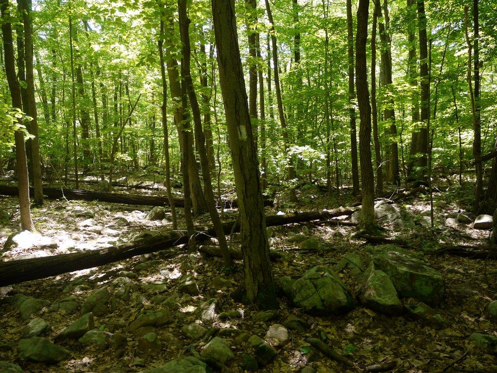
We began hiking east on the red-blazed Pine Meadow trail, but after about 200 yards turned south onto the white-blazed Reeves Brook trail, which paralleled a small brook. Small trees provided plenty of shade.

Pile of Boulders on Reeves Brook Trail, Harriman State Park, NY

Pile of Boulders on Reeves Brook Trail

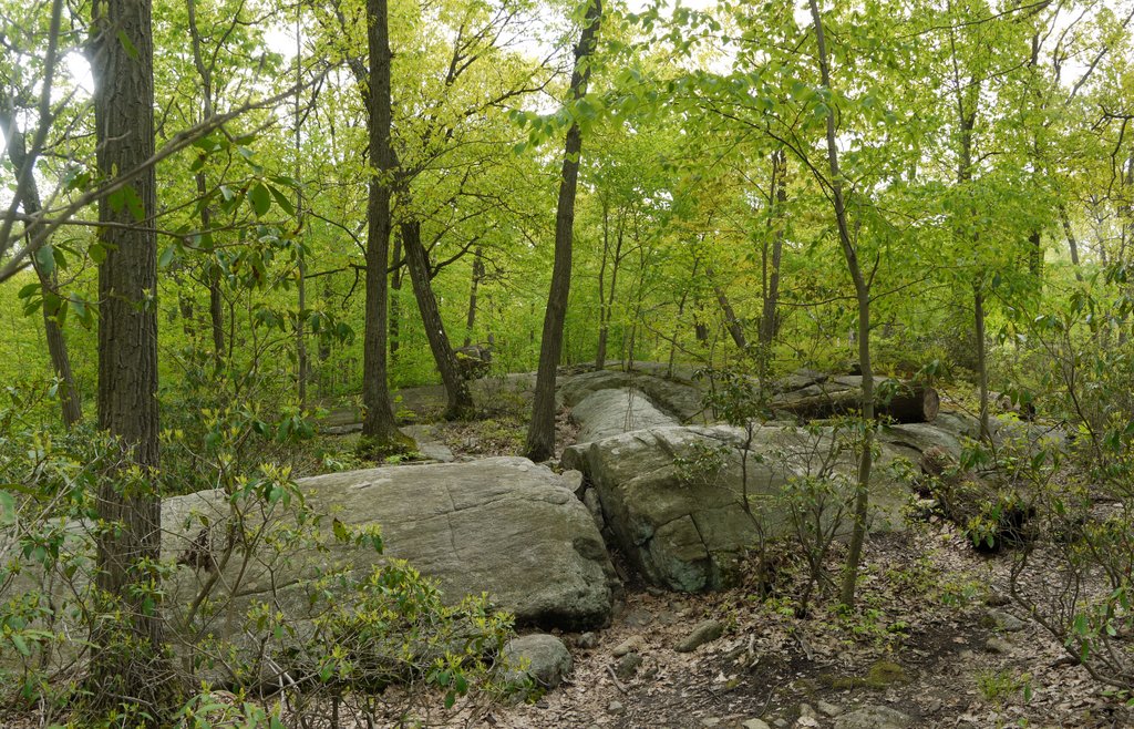
In one place, the trail passed over two inclined ledges of bare rock. We probably could have scaled the rock itself, but discovered that there were narrow gaps between the rocks in two places, and that at least one of the gaps was wide enough for hikers to pass through.

Bare Rock Ledges, Reeves Brook Trail, Harriman State Park, NY

Bare rock ledges

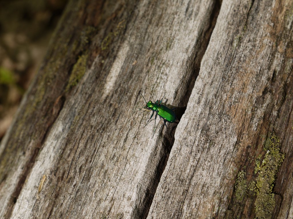
Six-Spotted Tiger Beetle (Cicindela sexguttata) resting on a downed log:

Six-spotted tiger beetle

Six-spotted tiger beetle

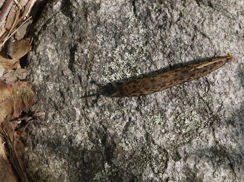
When I took this photo, I only saw the leopard slug (Limax maximus), and didn’t notice the spider until I reviewed the photo on my computer. I wonder if they are friends.

Leopard slug and spider

Leopard slug and spider

After 1.4 miles, we reached the intersection with the blue-blazed Seven Hills trail and turned right (southwest) onto that, which led out of the tree cover.

Seven Hills Trail, Harriman State Park, NY

Seven Hills Trail

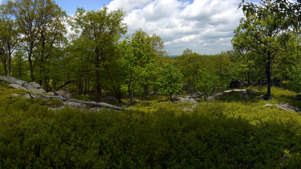
We reached the scenic Torne View:

Torne View, on Seven Hills Trail, Harriman State Park, NY

Torne View

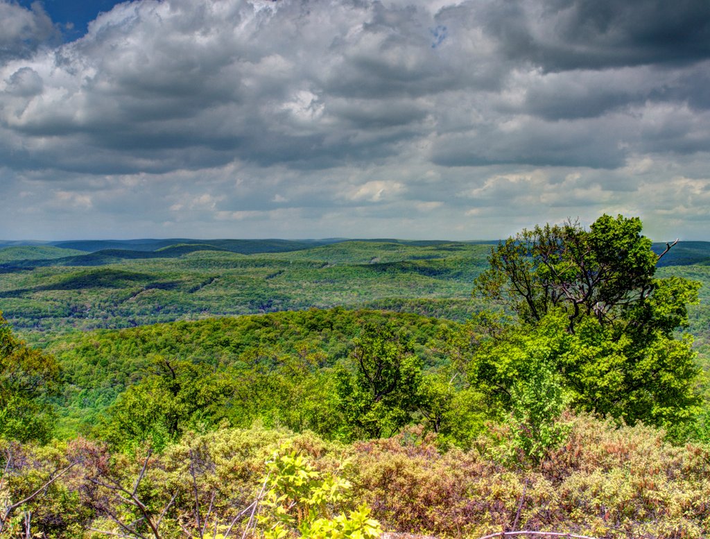
A fused HDR image from Torne View:

Torne View, Seven Hills Trail, Harriman State Park, NY

Fused HDR image of Torne View

At Torne View, I heard something move through the grass behind me, and turned to see the tail of a black rat snake slithering out of sight beneath a rock. He didn’t stick around long enough for me to take a photo. In another spot on the hike, I saw a chipmunk or squirrel scamper under a rock, and he also was too shy to allow himself to be photographed.

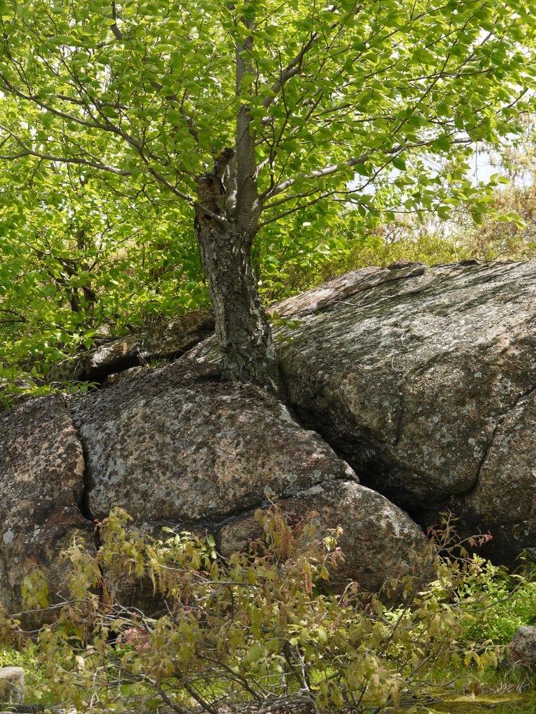
A tree growing from a rock seam:

Tree growing from rock seam, Harriman State Park, NY

Tree growing from rock seam

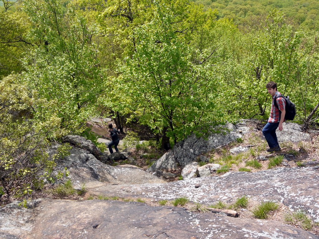
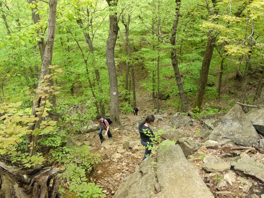
The elevation of this hike varied from around 600′ to 1100′, but included a lot of ascents and descents. Here, Suri and Greg descend the trail:

Descending the Seven Hills Trail, Harriman State Park, NY

Descending the Seven Hills Trail

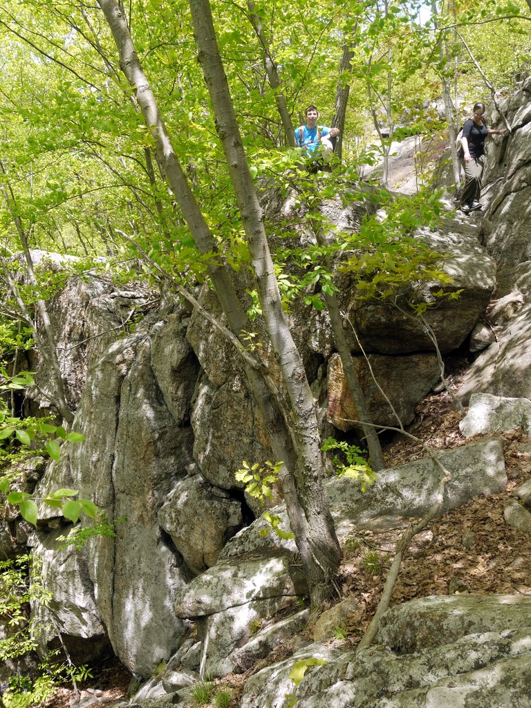
I gave Greg my camera, and he photographed me sitting on a rock a few feet from a vertical wall, while Malky contemplated how to best descend the trail:

Vertical Wall on Seven Hills Trail, Harriman State Park, NY

Vertical wall on Seven Hills Trail

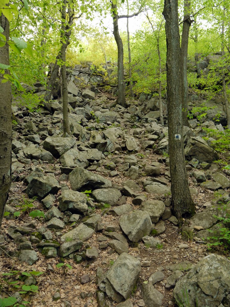
I don’t know if there are really seven hills on the Seven Hills Trail, but there are a lot of them. Here, having just descended one area, we were immediately faced with a steep climb up a hill of broken rock:

A rocky incline on the Seven Hills Trail, Harriman State Park, NY

A rocky incline on the Seven Hills Trail

I scrambled up the rocky hill first and then photographed the others following me:

Scrambling up a Rocky Hill on the Seven Hills Trail, Harriman State Park, NY

Scrambling up a rocky hill on the Seven Hills Trail

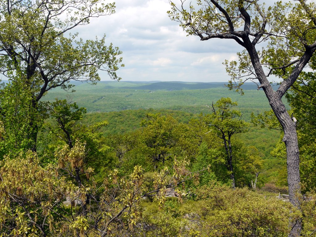
I thought this was a very nice scenic view, and yet it wasn’t shown with a star on the NY-NJ Trail Conference map:

Scenic View from Seven Hills Trail, Harriman State Park, NY

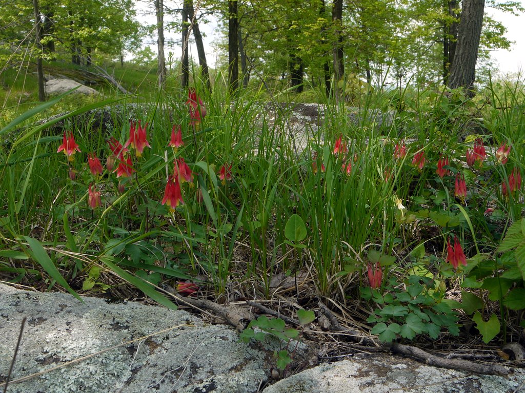
After 0.7 miles, the blue-blazed trail intersected the orange-blazed Hillburn-Torne-Sebago Trail, and for the next 0.2 miles both trails continued together. The trails then split, and we turned left (southwest) onto the orange trail. Here, we found Red Columbine (Aquilegia canadensis) in bloom:

Red Columbine, Harriman State Park, NY

Red Columbine

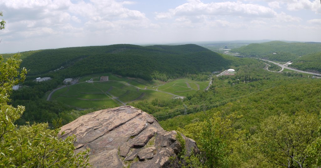
After 0.4 miles, we reached the scenic view Ramapo Torne, where we stopped for lunch. The view was marred by an electrical substation (not visible in the photo), and power lines crossing through the photo, as well as by U.S. 87 on the right, and the strange landscaping in the middle (we didn’t learn what that was):

View from Ramapo Torne, Harriman State Park, NY

View from Ramapo Torne

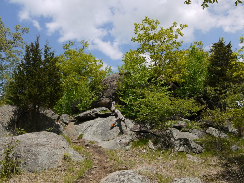
After lunch, we backtracked 0.4 miles over the orange-blazed trail and then 0.2 miles over the jointly blue and orange-blazed section. We then continued on part of the orange trail we hadn’t seen yet, moving toward the east.

Hillburn-Torne-Sebago Trail, Harriman State Park, NY

Hillburn-Torne-Sebago Trail

This part of the trail included areas without heavy tree cover, and there was also bare rock to appreciate:

Tree on Hillburn-Torne-Sebago Trail, Harriman State Park, NY

Tree on Hillburn-Torne-Sebago Trail

A fallen tree:

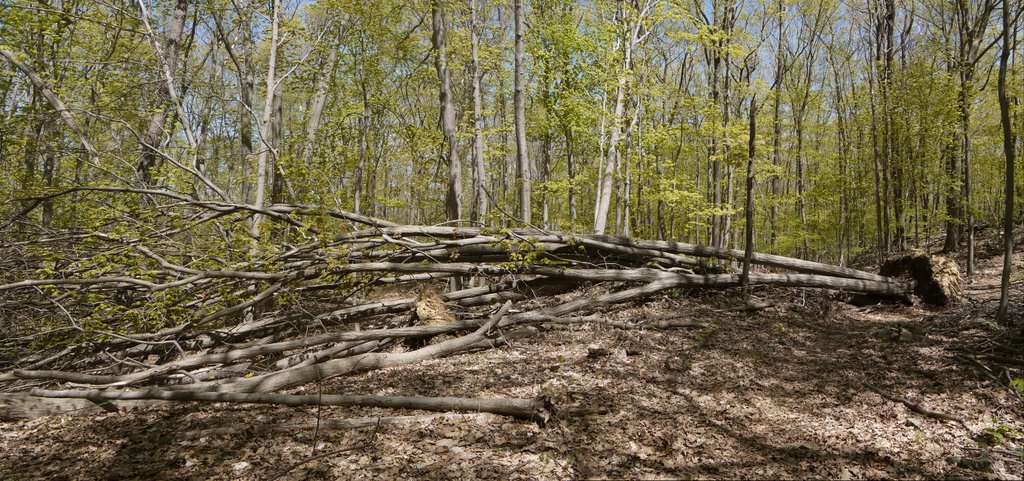
Fallen tree

Fallen tree

The trail crossed through a grove of slender trees:

Grove of slender trees, Harriman State Park, NY

Grove of slender trees

The trail began a steep climb of about 200′, to a scenic view known as the Russian Bear. I did not find the view to be so scenic and do not have any photos. The Russian Bear formerly referred to a large boulder at the top, but it fell in 2004. The trail turned north at this point.

After 1.0 mile, the orange trail intersected the black-blazed Raccoon Brook Hills Trail, and we turned left (west onto that). In one spot, the trail was not well blazed at all, and we followed a couple of cairns. We were planning to turn north onto the white-blazed Reeves Brook Trail, and beside a footpath we saw a cairn with a white blaze on it. But was only a single blaze, and not the three blazes that we would expect at the end of a trail. Also, there were no corresponding black blazes to signify an intersection with the black trail. Nonetheless, not seeing any other blaze or trail, we turned onto the footpath, and before long came to black blazes proving that we had remained on the black trail. So that cairn should have been blazed black instead of white.
After 0.4 miles on the black trail, we did finally come to the three blazes signifying one end of the white-blazed Reeves Brook Trail, and we turned north onto that, heading back to the car.

Another fallen tree:

Fallen tree

Fallen tree

A stagnant pool off the Reeves Brook Trail:

Stagnant pool, Reeves Brook Trail, Harriman State Park, NY

Stagnant pool

A tiny waterfall on Reeves Brook:

Reeves Brook, Harriman State Park, NY

Reeves Brook

This was about a 6.2 mile hike. While there was only about a 500′ difference between minimum and maximum elevations, I estimate that with all the hills, we ascended about 1700′ and descended the same amount.

Posted in Hikes | Tagged , , | 1 Comment

Appalachian Trail, Putnam County, New York

My friends and I hiked a 7.5-mile section of the Appalachian Trail (AT). We met at the intersection of Old West Point Road East and Graymoor Village, where Old West Point Road East transitions from a paved road to a dirt road.

After shuttling my car to Dennytown Road in Clarence Fahnestock Memorial State Park, we returned to Old West Point Road. We hiked down the dirt portion for 200′ and turned left (north) onto the AT.

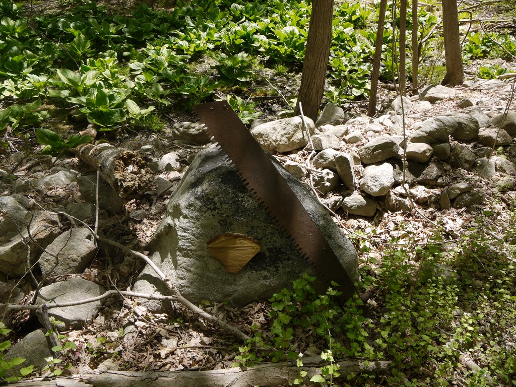
11:32 a.m.: Almost immediately after turning north on the AT, we found this ancient saw blade resting against a rock:

Old saw blade

Old saw blade

11:50 a.m.: We were hiking along a ridge line, at about 700-800′ of elevation, and looking toward the west we could see the ground drop away. (U.S. Highway 9 was running toward the west, at about 500′ of elevation.)

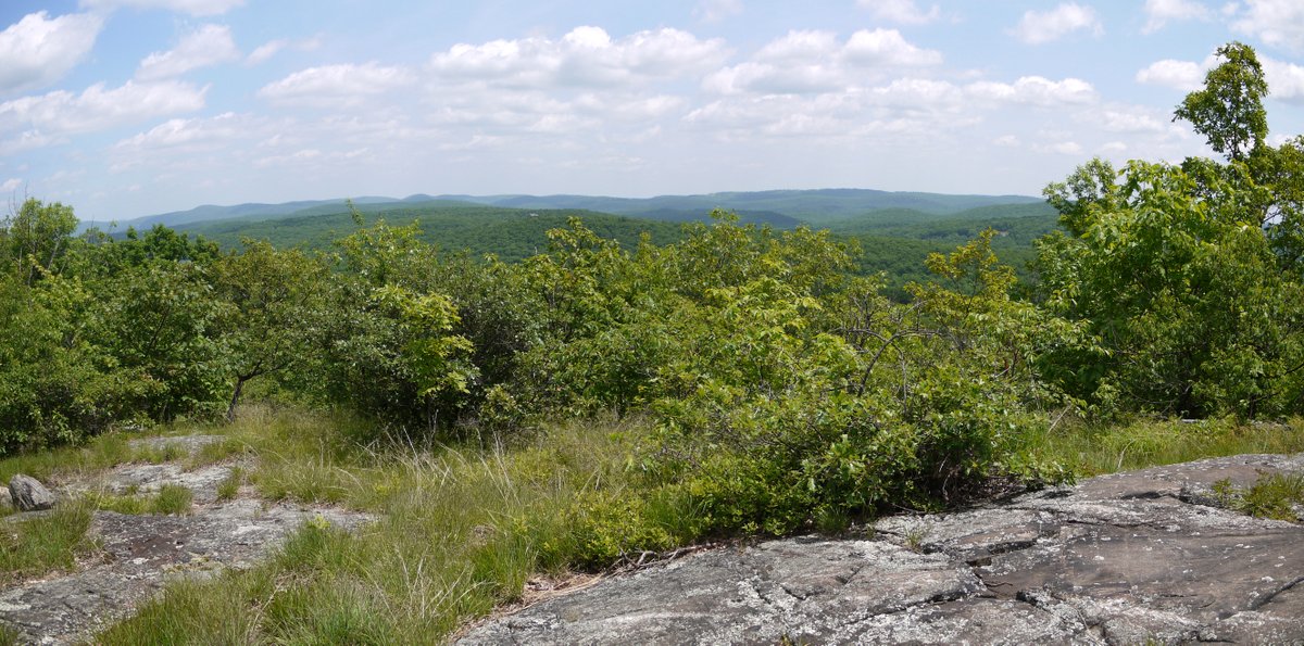
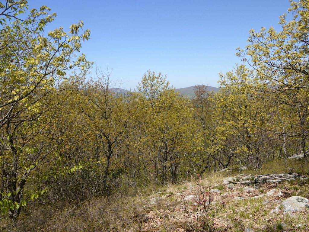
View from Appalachian Trail, Putnam County, NY

View from Appalachian Trail

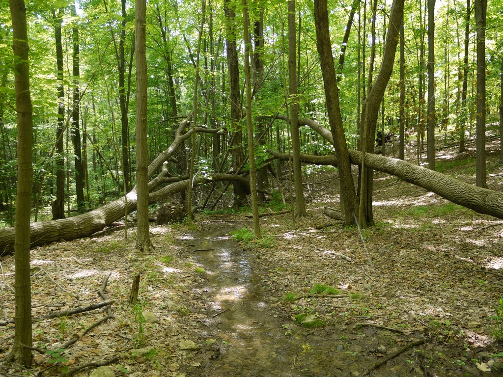
11:56 a.m.: A densely packed stand of 5 or 6 trees had fallen:

Fallen Trees, Appalachian Trail, Putnam County, NY

Fallen trees

The NY-NJ Trail Conference map 101 (East Hudson Trails) shows that after 3/4 of a mile we should have arrived at a side trail leading east toward a starred scenic view. However, we were not paying close attention and I do not recall any side trail.

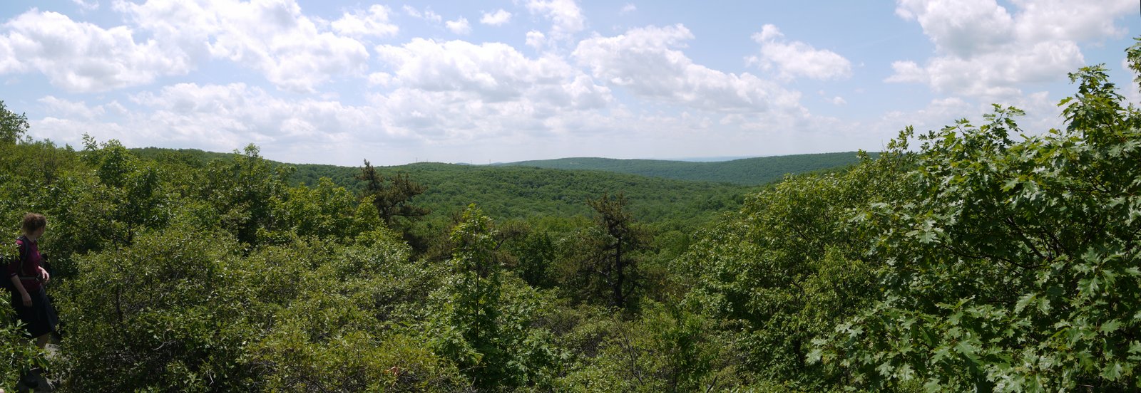
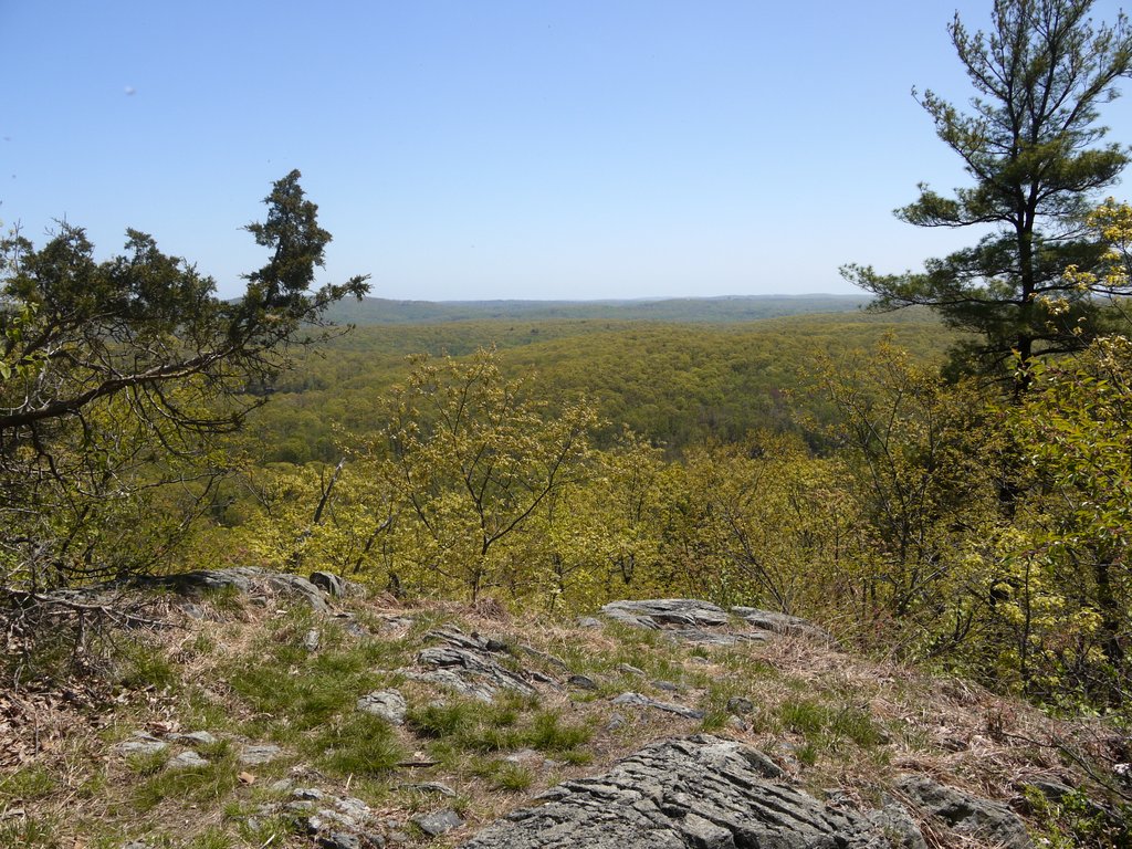
12:28 p.m.: When we were 1.5 miles into our hike, we came to a blue blaze marking a path to the left (northwest). The map showed this as leading to a scenic view from Denning Hill, and we detoured 0.1 miles to investigate. This is the view:

View from Denning Hill, Appalachian Trail, Putnam County, NY

View from Denning Hill

12:45 p.m.: Returning to the AT, after another 0.7 miles the trail made a hairpin curve to the south, before turning north again after another tenth of a mile. (As the crow flies, this was about 0.3 miles east of Denning Hill, and about 0.35 miles south of Ft. Defiance Hill.) There was a scenic view here, as well:

View from Appalachian Trail, Putnam County, NY

View from Appalachian Trail

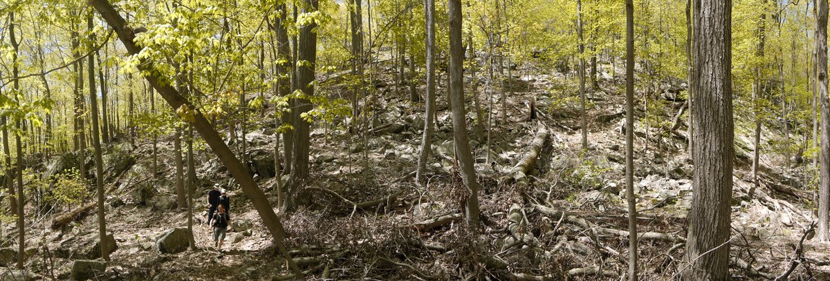
12:55 p.m.: We dropped down from about 900′ elevation to 700′ elevation. Here my friends reach the bottom of that hill:

Descending a Hill, Appalachian Trail, Putnam County, NY

Descending a hill

12:56 p.m.: It looks as though a tree toppled over with roots remaining in the ground, and therefore remained alive:

Fallen Tree Lives, Appalachian Trail, Putnam County, NY

Fallen tree lives

1:01 p.m.: We climbed another hill back up to around 800′ elevation:

Hill, Appalachian Trail, Putnam County, NY

Hill

1:09 p.m.: A small rock ledge. I hiked up the small hill to take a closer look, while my friends remained on the trail.

Rock ledge, Appalachian Trail, Putnam County, NY

Rock ledge

1:22 p.m.: The trail passed over puncheon through an area that the map shows can be swampy:

Puncheon, Appalachian Trail, Putnam County, NY

Puncheon

1:29 p.m.: At 0.6 miles beyond the hairpin curve, the Appalachian Trail then crossed Old Albany Post Road, one of the oldest unpaved roads in the U.S. still in use. The crossing was right at an intersection with Chapman Road. We did not immediately see where to pick up the AT on the north side of the Post Road (as a vehicle was parked in front of it). We therefore walked northeast on the Post Road about 200′, until we came to a marker indicating the edge of the Federal land through which the AT is routed. We also spotted this historic marker of the Old Albany Post Road:

Historic marker, Old Albany Post Road, Putnam County, NY

Historic marker, Old Albany Post Road

1:33 p.m.: A driver was passing by on the road, so we flagged him down and asked him where to re-enter the woods on the AT northbound. He directed us back about 200′ to the intersection with Chapman Road, where I realized that a vehicle had blocked our view of the trail. Re-entering the woods, we immediately came to a colorful scene. After so many months of winter and nothing but dormant vegetation, it is nice to see greenery!

Appalachian Trail, Putnam County, NY

Appalachian Trail

We reached the edge of NY-NJ Trail Conference map 101, and we switched to map 103, also within the East Hudson Trails map set.

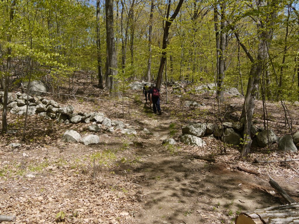
1:44 p.m.: We began to encounter ancient rock walls.
Rock wall, Appalachian Trail, Putnam County, NY

Rock wall

1:51 p.m.: More fallen trees:

Fallen tree, Appalachian Trail, Putnam County, NY

Fallen tree

1:51 p.m.: Another rock wall:

Rock wall, Appalachian Trail, Putnam County, NY

Rock wall

We stopped for a leisurely lunch, then continued on northward.
2:49 p.m.: At a mile from Old Albany Post Road, we reached a scenic view on Canopus Hill, at around 800′ elevation:

View from Canopus Hill, Appalachian Trail, Putnam County, NY

View from Canopus Hill

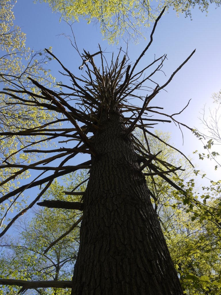
3:02 p.m.: A dead tree:

Dead tree

Dead tree

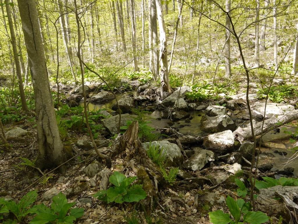
3:09 p.m.: After another 0.5 miles we reached a small stream, which was just south of Canopus Hill Road:

Stream at Canopus Hill Road, Putnam County, NY

Stream at Canopus Hill Road

We crossed the road and re-entered the forest.

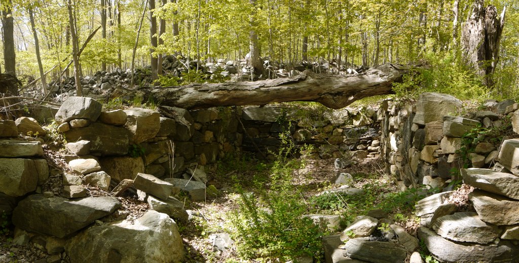
3:24 p.m.: We encountered an ancient stone foundation. I would have guessed it was a root cellar, though I later found a website that stated that it was a building used as a Smallpox inoculation station during the Revolutionary War.

Revolutionary War Smallpox Inoculation Station, Appalachian Trail, Putnam County, NY

Revolutionary War Smallpox Inoculation Station

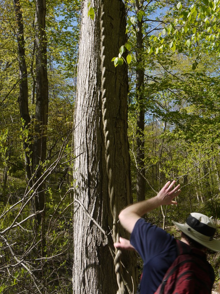
3:26 p.m.: Investigating a vine:

Vine

Vine

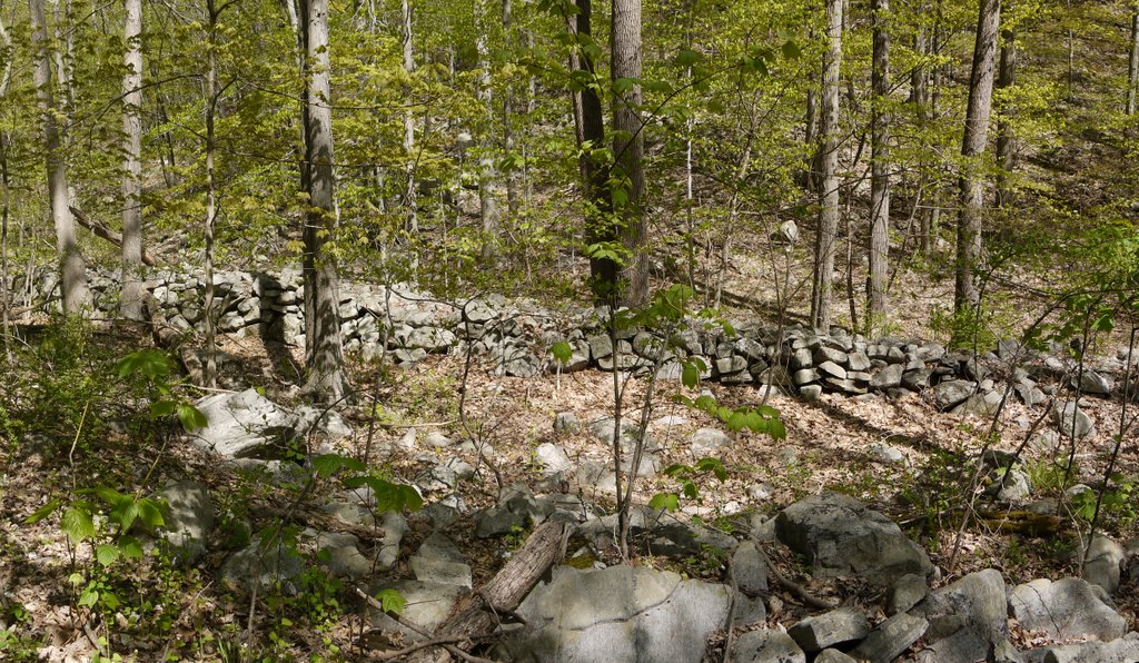
3:32 p.m.: More stone walls:

Stone Walls, Appalachian Trail, Putnam County, NY

Stone walls

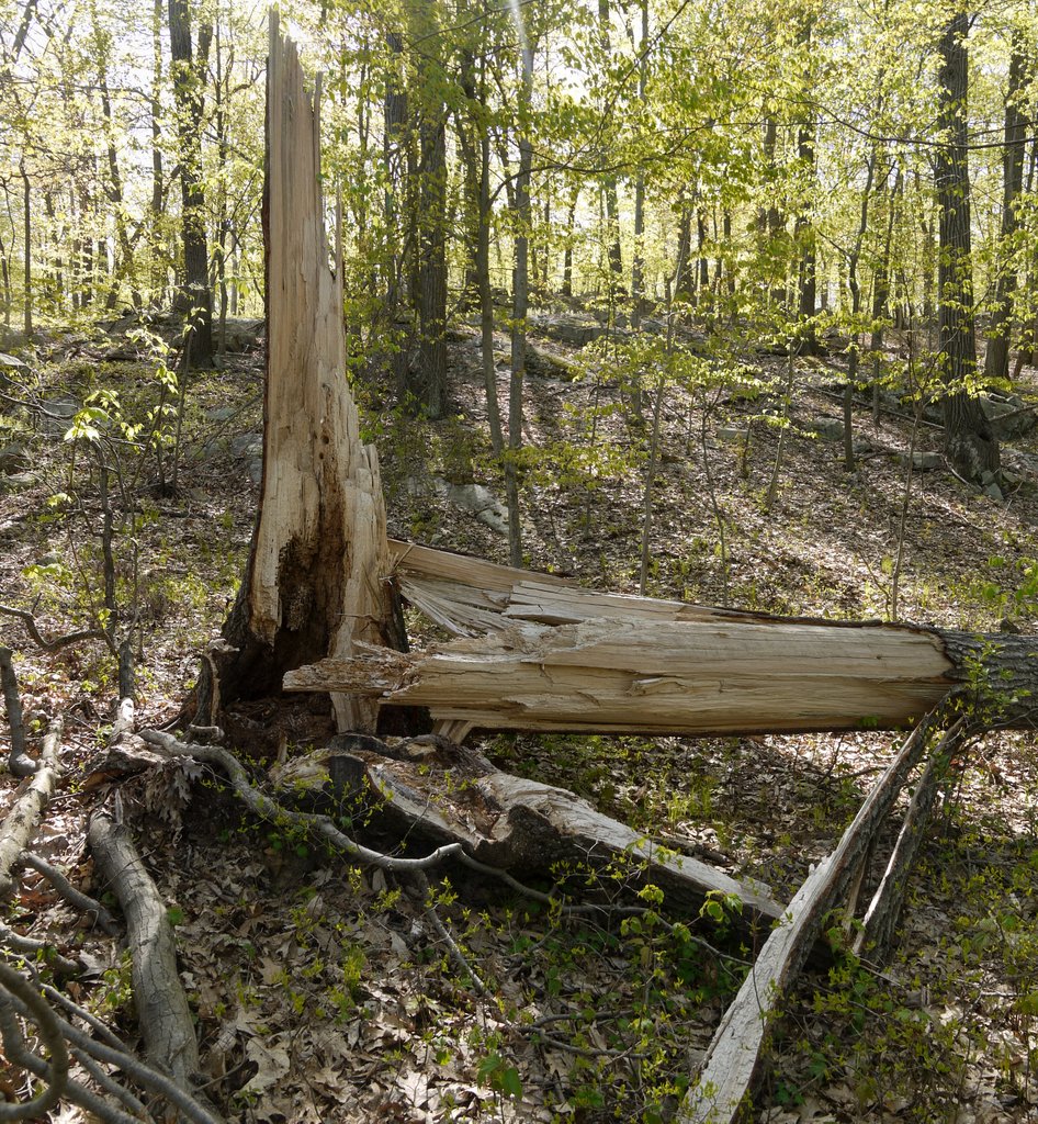
3:50 p.m.: A broken tree:

Broken tree

Broken tree

3:56 p.m.: Another mile past Canopus Hill Road, the AT crossed South Highland Road. Continuing to the north on the AT, we immediately crossed a stream and this memorial marker. An Internet search did not turn up any details, besides other hikers who were also curious.

Memorial marker, Appalachian Trail at South Highland Road, Putnam County, NY

Memorial marker

4:04 p.m.: Another stone wall:

Stone wall, Appalachian Trail, Putnam County, NY

Stone wall

Around 4:15 p.m., 0.5 miles past South Highland Road, we entered Fahnestock State Park.

4:52 p.m.: After another mile, we reached an intersection with Fahnestock’s red-blazed Catfish Loop trail. We stayed on the AT.

5:16 p.m.: The AT in Fahnestock included some bare rock, though this piece was covered with lichen:

Appalachian Trail, Putnam County, NY

Appalachian Trail

5:31 p.m.: About 1.2 miles beyond the intersection with the Catfish Loop Trail, we reached Dennytown Road, where I had left my car. We then drove back to the starting point, where my companions reclaimed their own cars. As noted at the beginning of the post, I estimate this was about a 7.5 mile hike.

Posted in Hikes | Tagged , , , | 2 Comments

Stokes State Forest, Sussex County, NJ

This was the Jewish Outdoor Club’s Sixth Annual Fun Day. The club sold 240 tickets, and while I didn’t get a count of participants, presumably a high percentage attended. The event was held at Stokes State Forest, in northwestern New Jersey, and included hikes, a barbecue, and workshops.

There were hikes for everybody, including an easy hike (4.6 miles on flat terrain), four moderate hikes (4.5 or 4.8 miles, with 500′ in elevation gain), a moderate-plus hike (5.5 miles, with 500′ in elevation gain), and a challenging hike (advertised as 8 miles, with 650′ in elevation gain, though one of the participants said it was 10 miles). While I ordinarily like longer hikes, the challenging hike was to be conducted at a fast pace (in order to return in time to enjoy the barbecue). I prefer to hike at a moderate pace, and therefore selected one of the moderate hikes.

I had never been to Stokes State Forest before, a 16,000 acre park. It is close to the border with Pennsylvania, and positioned on the northwest side of Kittatinny Mountain ridge, about 25 miles northeast of the Delaware Water Gap.

11:25 a.m.: Check-in was adjacent to Stony Lake, which includes a sandy beach that in warmer weather is enjoyed by swimmers. Our hike began by walking past the small lake.

Stony Lake, Stokes State Forest, NJ

Stony Lake has a nice beach

11:33 a.m.: We entered the forest by hiking southeast on the Stony Brook Trail, which parallels Stony Brook, a small stream that feeds into the lake.

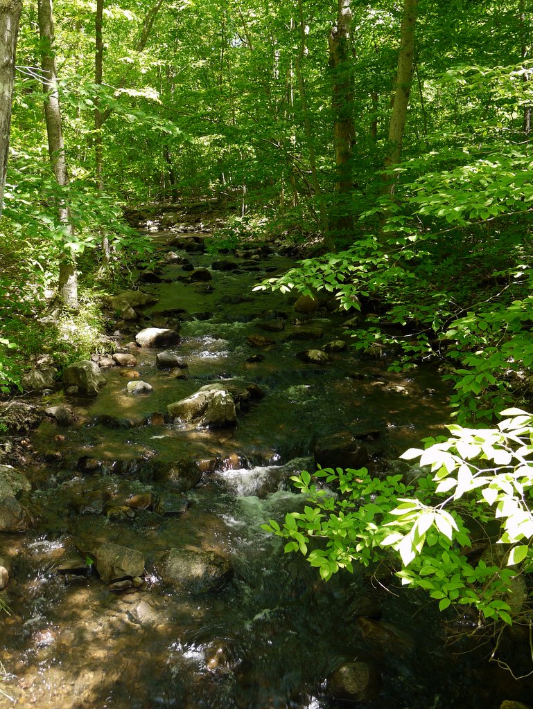
Stony Brook, Stokes State Forest, NJ

Stony Brook


Stony Brook, Stokes State Forest, NJ

Stony Brook

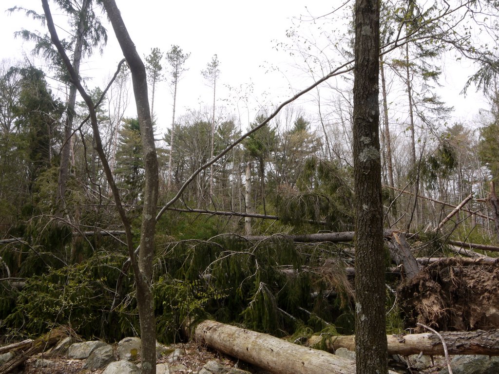
11:44 a.m.: The forest includes many red pines planted during the New Deal in the 1930s. In one area, quite a few had fallen during Hurricane Sandy.

Fallen Trees, Stokes State Forest, NJ

Fallen trees

12:11 p.m.: The trail began relatively flat, but eventually began climbing the slope of Kittatinny Ridge.

Ascending Stony Brook Trail toward Kittatinny Ridge, Stokes State Forest, NJ

Ascending Stony Brook Trail toward Kittatinny Ridge

12:13 p.m.: Chany crosses over a brook:

Crossing a Brook, Stokes State Forest, NJ

Crossing a Brook

12:21 p.m.: The trail crossed Sunrise Mountain Road, and reentered the woods.

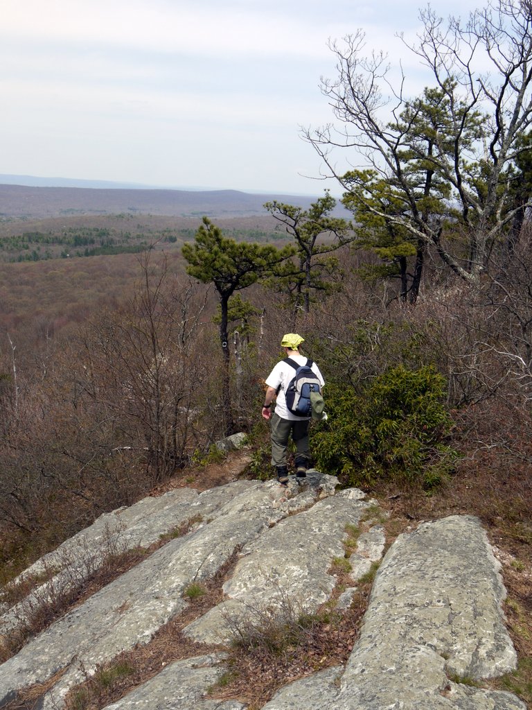
12:27 p.m.: The Stony Brook Trail ended, and we turned right (south-southwest) onto the Appalachian Trail. For the most part we hiked through unbroken forest, though we finally reached a scenic view, at the intersection with the Tower Trail.

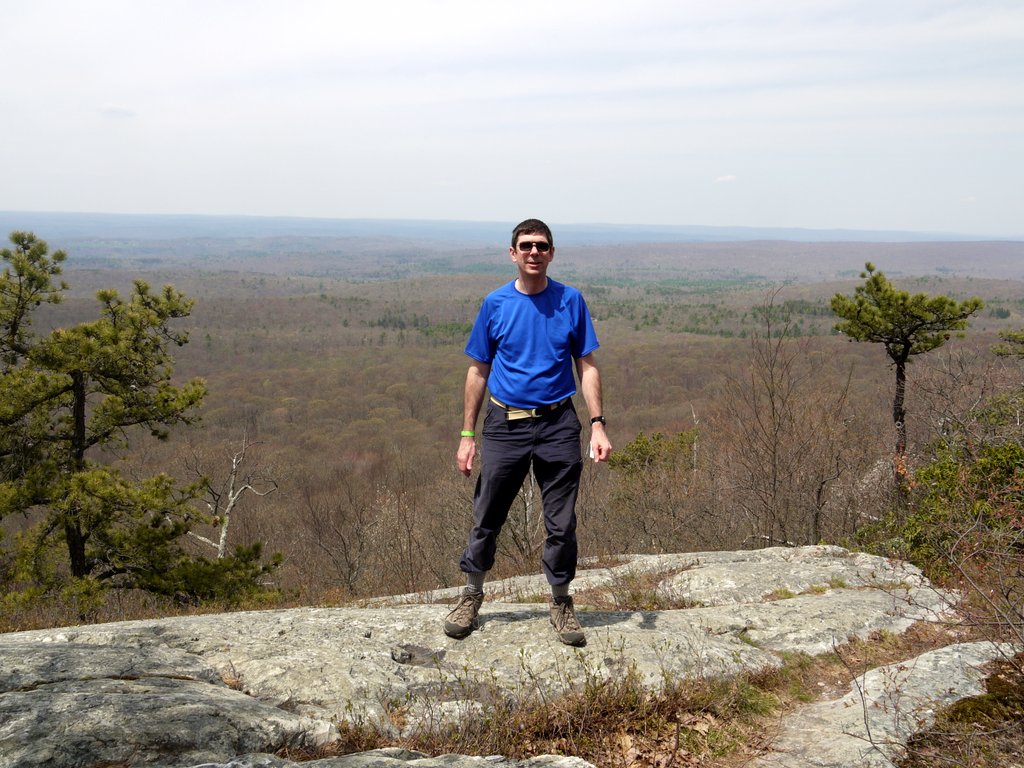
1:10 p.m.: I pose for a photo, looking down from the Kittatinny ridge toward the north.

Posing on Kittatinny Ridge at Intersection of Appalachian Trail and Tower Trail, Stokes State Forest, NJ

Posing on Kittatinny Ridge at Intersection of Appalachian Trail and Tower Trail

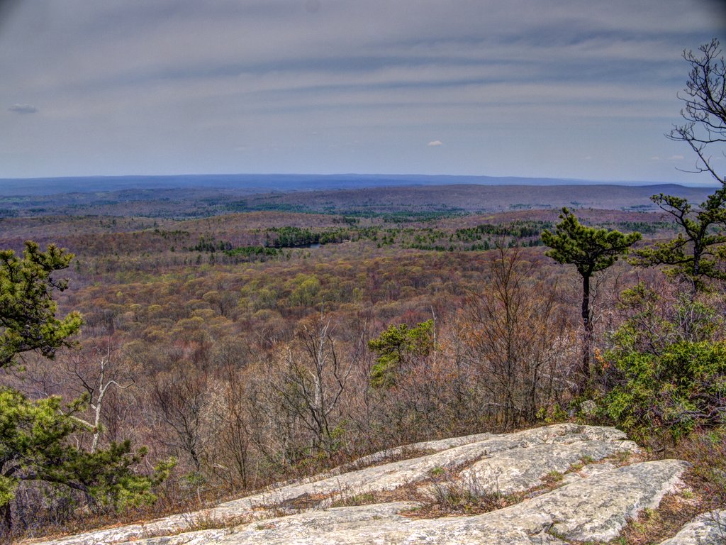
A fused HDR image from the same scenic view:

View from Kittatinny Ridge at Intersection of Appalachian Trail and Tower Trail, NJ, Stokes State Forest, NJ

View from Kittatinny Ridge at Intersection of Appalachian Trail and Tower Trail, NJ

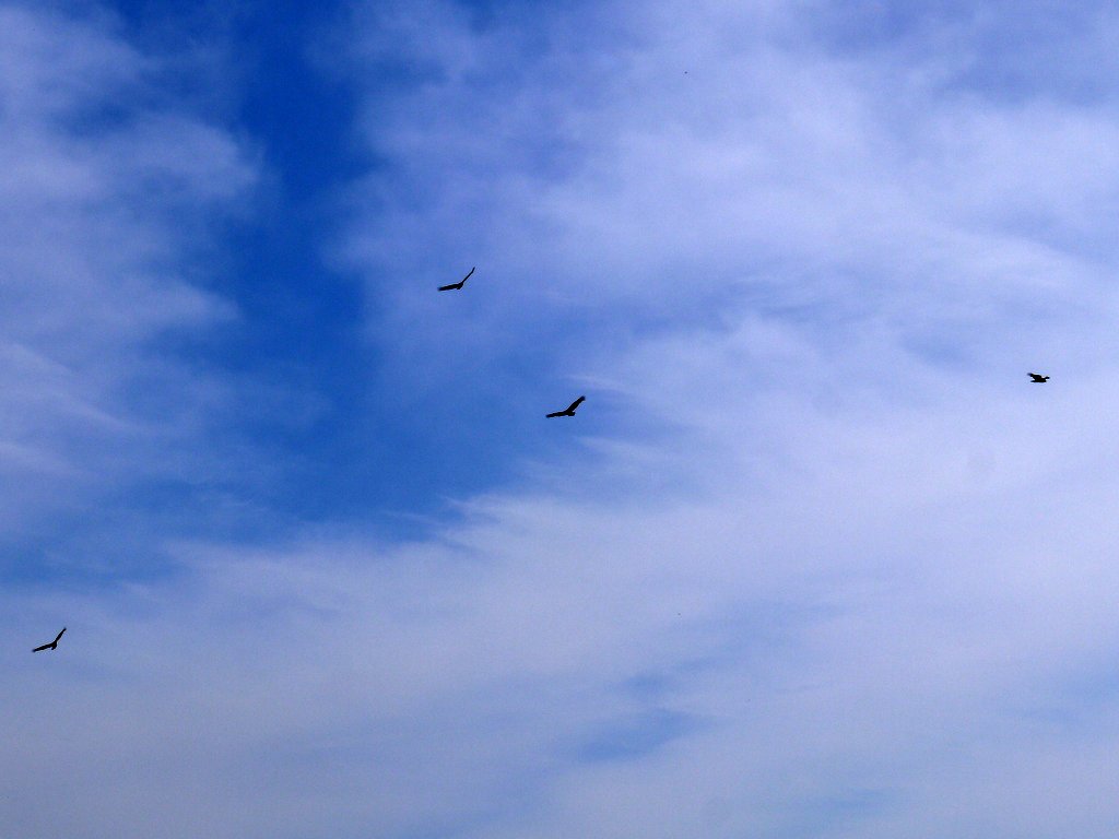
1:22 p.m.: Birds were circling overhead:

Birds Circling, Stokes State Forest, NJ

Birds circling

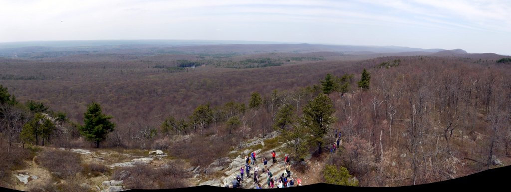
1:23 p.m.: The Tower Trail is named for the fire tower at the top. I climbed it, for a panoramic view of the area:

View from Fire Tower on Kittatinny Ridge, Stokes State Forest, NJ

View from Fire Tower on Kittatinny Ridge

1:40 p.m.: While we were enjoying the scenic view, we were also getting hungry, and eventually began our descent on the Tower Trail, heading north.

Descending Tower Trail from Kittatinny Ridge, Stokes State Forest, NJ

Descending Tower Trail from Kittatinny Ridge

1:56 p.m.: The trail crossed Sunrise Mountain Road, and reentered the woods.

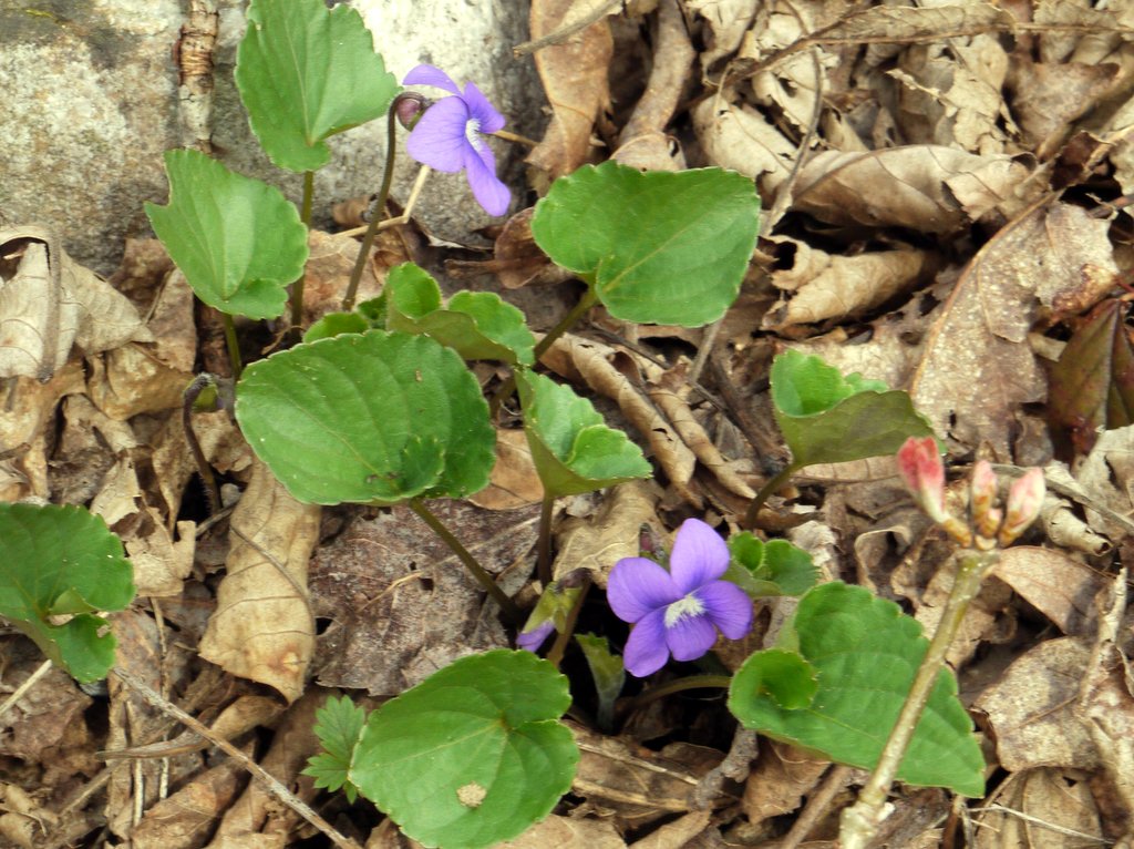
2:30 p.m.: Wild flowers:

Wild Flowers, Stokes State Forest, NJ

Wild Flowers

2:32 p.m.: Hurricane damage was also visible on the Tower Trail:

Fallen Trees, Stokes State Forest, NJ

Fallen trees

We returned to the area near Stony Lake, which included a pavilion where the caterer had hamburgers, hot dogs, and other delicacies prepared for us. After lunch, there were a number of workshops on different topics, run simultaneously.

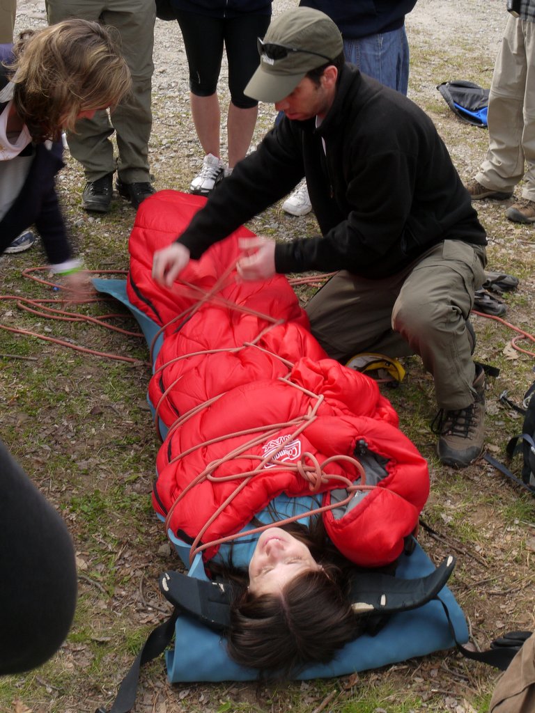
4:24 p.m.: I attended a workshop presented by Dr. Simcha Nath, on Backcountry Safety. Here, he demonstrates how to build a rope litter, a makeshift stretcher for carrying a wounded or ill person:

Demonstration of a Rope Litter

Demonstration of a Rope Litter

Happily, it was only a demonstration.

Posted in Hikes | Tagged , , | Leave a comment