We decided to check out southern Arizona for our start-of-summer vacation. We rented a room in Sierra Vista, and enjoyed visiting The Cove, an amazing (and inexpensive municipal swimming pool). We don’t have any photos to share there, but they have a huge indoor pool, and they also have a smaller outdoor dive pool, where Shaina very bravely went off the high dive once or twice.
June 17: We visited the famous copper mining town of Bisbee, about a 30 minute drive from Sierra Vista. We drove on AZ-80 to the overlook of the Lavender Pit, a massive open-pit mine that was operated from 1917-29, and again in the 1950s-70s.

Lavender Pit
Shaina had just turned 6:

Shaina
We then drove a short distance to the Queen Mine, where we took a tour. They require guests to wear hard hats, and a tip for any ladies who must cover their hair is to take that into account. A hard hat would probably fit well over a wig, but not so well over a hat.
Here the tram is about to enter into the mine. In places, the tram would stop and we would be allowed to exit and walk around a bit. It was an interesting experience, though I don’t have any photos to show for it, owing to insufficient lighting for my camera. Shaina was very nervous about entering the dark mine, even though we reassured her that it was perfectly safe.

Tram abut to enter Queen Mine
June 18: We drove to Chiricahua National Monument, almost a 2 hour drive from Sierra Vista, but a beautiful park well worth the visit. It features preserves towering rhyolite pinnacles, balanced rocks, and mountain landscapes shaped by volcanic forces.
We enjoyed two hikes on our visit. The first was the Massai Point Nature Trail, a half mile loop through through balanced rocks.

Massai Point Nature Trail
.

Massai Point Nature Trail
.

Massai Point Nature Trail
.

Massai Point Nature Trail
.

Massai Point Nature Trail
These Mexican Jays reminded me of their cousins, the Camp Robbers, one of whom stole my sandwich on a hike in Rocky Mountain National Park.

Mexican Jays
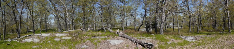
After enjoying that short trail, we had lunch at a picnic area.

Snag
We then moved on to the Echo Canyon Trail, which would eventually lead to the Echo Canyon Grottoes. It also had some balanced rocks.

Echo Canyon Trail
.

Echo Canyon Trail
.

Echo Canyon Trail
.

Echo Canyon Trail
.

Echo Canyon Trail
.

Echo Canyon Trail
The grottoes were beautiful:

Echo Canyon Grottoes
Shaina had a grand time, even if she wasn’t smiling.

Shaina at Echo Canyon Grottoes
June 19: We went on a tour of Kartchner Caverns State Park, not far from Sierra Vista. They did not allow photography, so I have no photos to offer. As Shaina had been fearful of going on the mine tour in Bisbee, Batya and I weren’t sure how she would handle the cave tour, but she was fine. Shaina not only enjoyed the tour but asked a few questions of the tour guide.
June 20: We drove back to Phoenix, stopping for a couple of hours in Tucson to enjoy an indoor trampoline park called Elevate.


