On a beginning-of summer break family trip to Prescott, we decided to hike the Thumb Butte Trail (33), which I thought would be easy enough for Shaina, who had just turned 5. Trail 33 is about a 2.2 mile loop trail, climbing only 639 feet. We parked across Thumb Butte Road (CR 89) at 34.5519, -112.5213.

Start of Thumb Butte Trail
We began hiking counter-clockwise on the trail.

Thumb Butte Trail
Shaina initially seemed eager to put her hiking boots and backpack to good use.

Batya and Shaina
Her fashionable hiking boots and hiking socks.

Shaina’s hiking boots
Unfortunately, Shaina soon lost interest in the hike, and Batya said that I should go on ahead, and they would return to the parking lot.

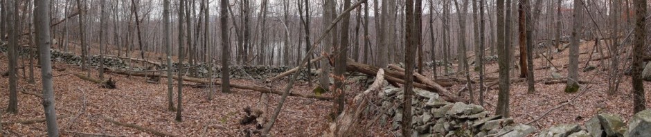
View from Thumb Butte Trail
I continued on alone, enjoying the scenery.

View from Thumb Butte Trail
Manzanita (Arctostaphylos) are evergreen shrubs with a red bark. The have small, edible, apple-like berries.

Manzanita
The scenery was lovely. The standing dead trees (snags) provide food for insects, and then animals eat the insects.

View from Thumb Butte Trail
The surrounding ring of mountains forms the southwestern rim of the high basin that cradles the city of Prescott. Many of the mountains are dark with Juniper trees, leading them to be called Sierra Prietta (dark mountain).

View from Thumb Butte Trail
Around halfway through the loop, I arrived at an intersection with the Thumb Butte Spur trail (314). I continued on trail 33, though.

Intersection of Thumb Butte Trail with Spur Trail
More scenery from the trail:.

View from Thumb Butte Trail
More scenery:

View from Thumb Butte Trail
About 2/3 of the way through the trail, I finally approached as near as possible to Thumb Butte. The butte is made of very dark extrusive basalt. Most of the surrounding Sierra Prieta ranges are composed of granites, quartz, and metamorphic schists.

Thumb Butte
A wide-angle view. Fencing was erected February 1-July 15 to avoid distrubing courtship and breeding season of the peregrine falcon.

Thumb Butte
Numerous archaeological sites are known around Thumb Butte, as prehistoric groups left behind pottery shards, spear and arrow points, pit houses, fortifications, and rock art. The earliest known people in the area are referred to as the “Prescott Tradition,” visiting the area seasonally for brief periods between the years 900-1300. They practiced agriculture and hunting and gathering.
More recent natives, the Yavapai, also used the Thumb Butte area for seasonal hunting and gathering. They harvest walnuts, acorns, pinyon nuts, sunflower seeds, yucca and cactus fruits. They harvested crops of corn and squash. They hunted deer, fox, rabbits, and antelope.
I stopped for a quick lunch before heading back.

View from Thumb Butte Trail
More beautiful scenery.

View from Thumb Butte Trail
The rest of the trail consisted of some paved segments, with multiple switchbacks descending to CR 89.
I found a neat rock with lichen.

Rock with Lichen
I completed the hike on my own, and found Batya and Shaina waiting for me.