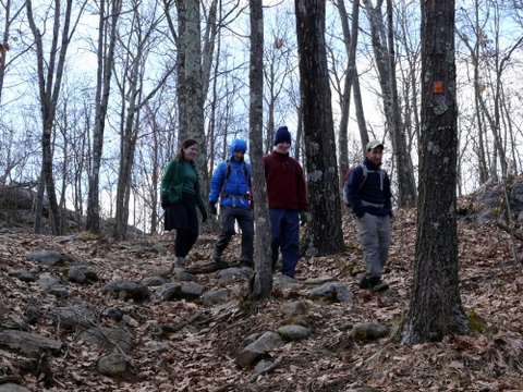
I joined Rachel, Martin, and Nachi, whom I’ve hiked with many times before, as well as Aaron and Yitzy, whom I don’t know if I’ve met before or not. My wife Batya didn’t join us, as she had to take care of training for work, and also because she is still recovering from her shoulder injury and was afraid this might be too rugged a hike.
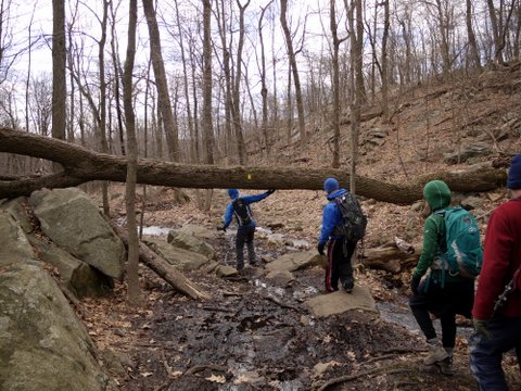
We met on Skyline Drive, parking at the northern of the two parking areas within Ramapo Mountain State Forest. While Batya and I had previously explored trails to the east of Skyline Drive, today we were hiking to the west of the road. We began hiking south on the yellow-blazed Hoeferlin Memorial Trail.
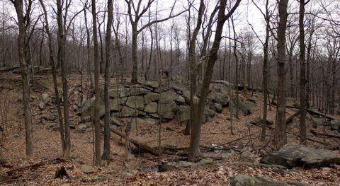
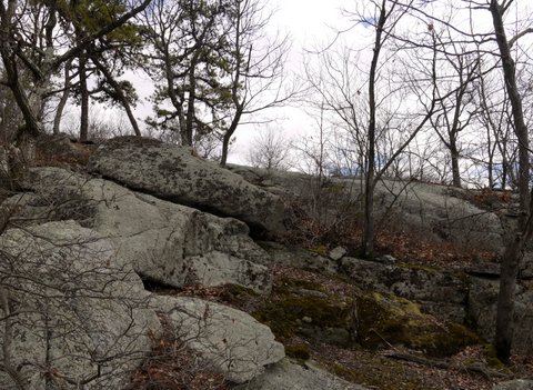
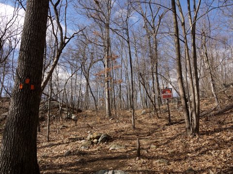
A rock wall:
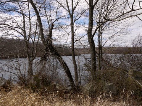
We soon arrived at Ramapo Lake, a 120-acre man-made lake within the forest. In addition to the yellow trail, there are blue-blazed and red-blazed trails in this area, so we had to carefully consult our maps and compass once or twice.
We skirted the east side of the lake, continuing south on the yellow trail, which included a few scenic views:
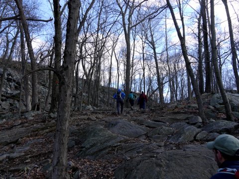
In a few areas, the trail crossed over exposed rock. There were a few areas where a bit of scrambling was required, or at least seemed prudent to many of us, and I thought that perhaps Batya would have been uncomfortable with those areas. For the most part the terrain was fine.
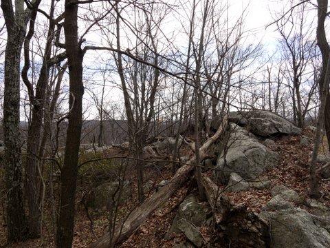
A contrast in wood and stone:
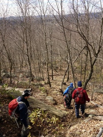
We weren’t sure how long the hike would be, and feared that it would end too soon, so we decided to explore a small section in the southernmost part of the forest that is isolated from the rest by Interstate 287. We therefore began a descent, still on the yellow trail, from around 800′ in elevation to 400′.
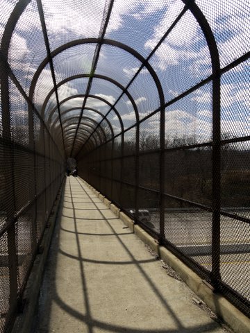
We reached the pedestrian walkway over I-287, noting men with dirt bikes at the far end:
We explored the southern section of the park, where the yellow trail led us south and then east, where we took the white-blazed South Ridge trail further south. We then turned north on the red-blazed Cannonball trail. Some of the group were grumbling that the southern portion seemed larger than is shown on the map, and that it was too muddy. It was not especially interesting, and I have no photos to show.
Having hiked through the southern portion, we again crossed over I-287 via the walkway and re-entered the primary part of the park, this time on the red trail. At an intersection with the Indian Rock trail (also red-blazed, to be confusing), we turned left (west), and after a short distance, turned north onto the orange-blazed Wanaque Ridge trail:
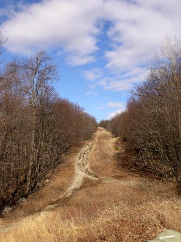
The trail passed over underground utility lines above which no trees were allowed to grow:
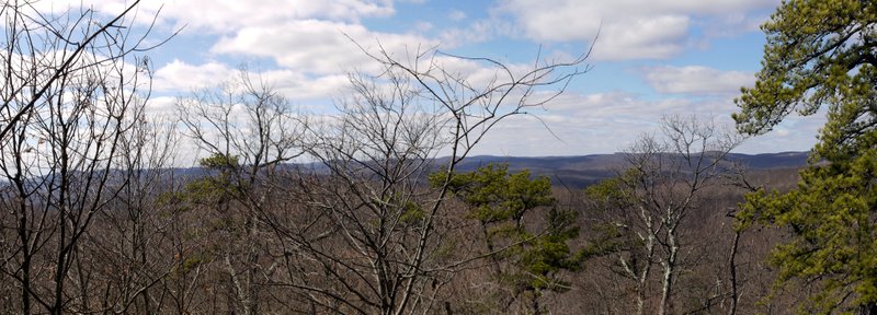
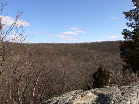
We reached another scenic view:
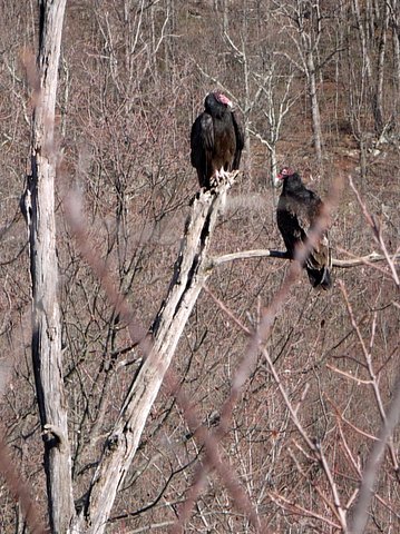
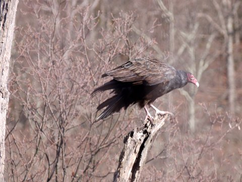
A pair of turkey vultures were sitting in a tree, and waited long enough for me to switch to my telephoto lens:
One of the pair flew away, and I caught the second about to take flight:
We came to another scenic view, this time of the huge Wanaque Reservoir:
We continued on the orange-blazed trail:
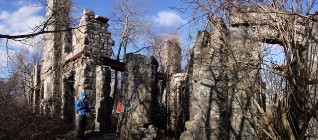
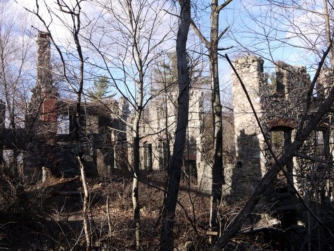
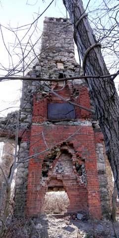
The orange blazed trail ended, and we turned right (south) onto the blue-blazed Macevoy Trail, which followed a woods road. We then turned left (east) for a short distance on the red-blazed Cannonball Trail, before turning left (north) on the white-blazed Castle Point trail. This brought us to the Castle Ruins, a large house built around 1909 and initially called Foxcroft Mansion by its owner, stockbroker William Porter. He died in a car accident in 1911, leaving the property to his widow (her second time being widowed from a wealthy man). She then married Warren Van Slyke, an attorney, and the mansion became known as Slyke Castle. The home was abandoned in the 1950s and burned by arsonists in 1959.
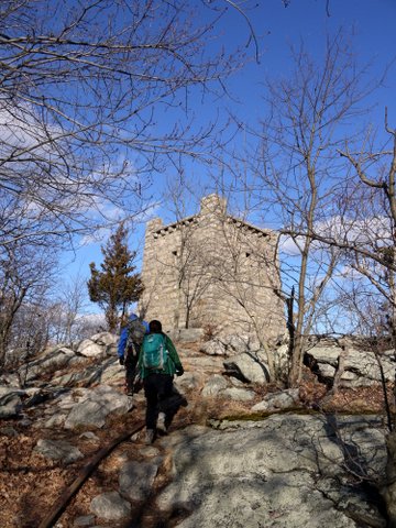
We continued hiking north on the white-blazed trail, passing a water tower that provided water to the Slyke Castle:
The white-blazed trail led us back to the Cannonball Trail very close to Skyline Drive, and then we walked along a very short white-and-red blazed trail back to the parking area. While the hike did not have much elevation loss and gain, there was some, and the length of the hike was about 11 miles, so I would call it a moderate hike.

