On Sunday, August 2, we drove up to Stowe, Vermont for a ten-day vacation (eight full days in Vermont and two travel days). We checked into the Stowe Motel & Snowdrift, with Stowe being a popular ski resort that is also pleasant to visit during other times of the year.
I had planned to combine four hikes with other activities, thinking we would alternate by hiking one day and doing something else the next day. As we haven’t been hiking much lately, Batya suggested that I find hikes that were moderate in nature. I agreed, but after some research decided that we should attempt to climb the five tallest peaks in Vermont. I don’t recall if I mentioned that to Batya, but the five tallest peaks in Vermont range from 4,000′ to 4,400′, and the prominence of each peak is significantly less than that, so it’s not as though we were climbing 14,000′ peaks in Colorado.
Monday: For the first hike, I suggested Camel’s Hump, the third-highest mountain in the state, with a peak at 4,083′. Camel’s Hump is named for its distinctive profile, and is perhaps the most famous mountain in the state, being depicted on the state quarter. Its peak is undeveloped, unlike the 1st and 2nd highest peaks, which can be reached by ski lift or gondola.
I learned or was reminded of a number of things from this hike. One is that Vermont has many dirt roads, and that a number of the entrances (or at least trailheads) to hikes in their parks, including important state parks, are reached via dirt roads. This was the case with Camel’s Hump State Park, as the trailhead I had selected (for the Monroe Trail) is reached via a few miles of dirt roads, namely the River Road (parallel to the Winooski River that is north of the park), Camel’s Hump Road, and Ridley Brook Road.
The next thing that I learned (or was reminded of) was that GPS devices don’t always make the best choices. Driving south from Stowe on Route 100, we passed over I-89 and entered Waterbury, with the GPS then directing us clockwise around a traffic circle, northwest on U.S. Route 2 for almost ten miles to Cochrane Road, south across the Winooski River, then southeast for six miles on Duxbury Rd and River Road until reaching the turnoff to Camel’s Hump Road. Instead of that lovely 16 mile drive, the GPS should have directed me to continue around the traffic circle, through a few blocks of Waterbury, across another the river via the Winooski Street Bridge, and then four miles northwest on River Road to Camel’s Hump Road. So the GPS took us 12 miles out of the way.
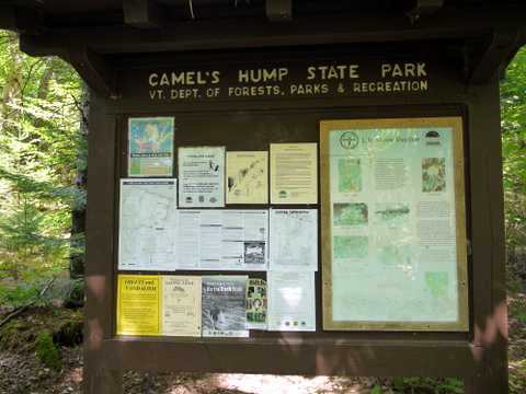
Anyway, we finally arrived to the Lower Monroe parking lot, at around 1400′ elevation, and began our hike. The trailhead included the typical selection of maps and other data:
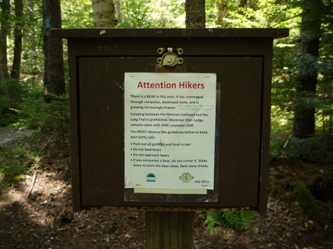
A sign-in box included a sign that a bear had been frequenting the area. We didn’t merit seeing the bear on our hike, though:
While the hike actually began below the shoulder of Camel’s Hump, the Monroe Trail began climbing in elevation immediately. It also started out as a warm day, so I was moving slowly. We also had a late start, whereas my preference would always be to start early.
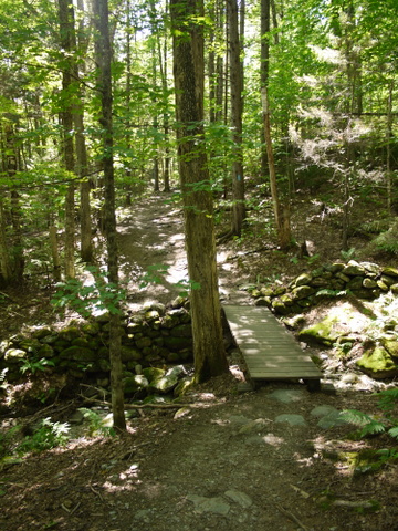
A small bridge on the Monroe Trail:
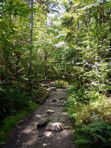
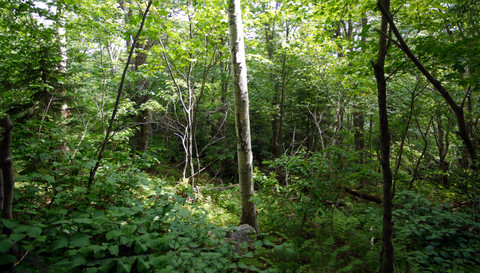
Camel’s Hump is part of the Green Mountain Range, and the verdant nature of the trail explains how the mountains got the name:
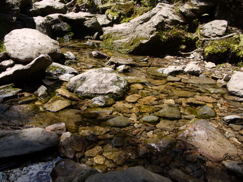
The trail crossed a few small streams:
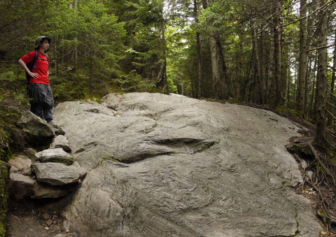
Clouds began to roll overhead, and I appreciated the accompanying drop in temperature. The nature of the trail changed, as it had initially been dirt, whereas we began encountering many areas with flat rock, as well as rocks that required scrambling:
Unfortunately, before we could reach the peak, the clouds grew darker, and finally it started pouring. Not only pouring, but we were also pelted with hail. Another thing that I learned (or was reminded of) was that when the forecast calls for rain, it is prudent to bring rain gear. Unfortunately, our rain gear was back at the hotel.
We moved a few feet from the trail and tried huddling under tree cover, which didn’t help much. I remembered that I had an emergency mylar blanket in my backpack, and pulled that out. It turns out that it takes a while to unfold those. It also turns out that they aren’t quite big enough for two people. Somehow, we managed to huddle under that for a few minutes, until the rain and hail subsided.
At this point, we were soaked and not very comfortable. We also weren’t sure whether the storm was over and was passing, or whether it would be continuing. We were conscious of the fact that it might not be prudent to continue to the peak of a mountain if there was an elevated risk of lightning. Therefore, we reluctantly decided to abandon this hike.
The Monroe Trail is only supposed to be 3.1 miles, and the Department of Forests map calls it moderately difficult. I’m not sure how high we climbed, but I would estimate about 2 miles, quitting about 1 mile below the top.
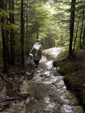
We began moving downhill, now moving much more cautiously over the flat stone of the trail, as it was now wet and perhaps slippery in parts. Batya kept the mylar blanket wrapped around herself, either for warmth or as a fashion statement:
Back at the trailhead, we briefly stopped at a memorial to airman who were killed and injured when their B-24 Liberator crashed on the mountain in 1944. My photo didn’t turn out well.
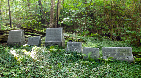
A stranger memorial was a graveyard for the namesake of the Monroe Trail, Will Monroe, his sister Catherine, and quite a few of Will’s dogs — there were a few other tombstones of dogs that weren’t in this photo:
The first thing I did after returning to the hotel room was to put my raingear in my backpack. It was a nice outing, but I was disappointed that we hadn’t made it to the peak, especially since I had set a goal of climbing the highest five peaks in the Vermont.

