It had been two weeks since our last hike, but we wanted to keep in shape, especially as we have an upcoming hiking vacation. Therefore, on this Labor Day we drove to the southwestern tip of Harriman for a hike on the yellow-blazed Suffern-Bear Mountain trail. I had never hiked in this section of the park before.
The NY-NJ Trail Conference maps don’t show any parking near the trailhead. There are parking lots nearby, but they are restricted for commuter traffic on the MTA Metro-North line. However, one of them was marked as available on weekends and holidays, so we parked there without any trouble. The trail begins to the east of Orange Avenue (Route 59), at about 300′ elevation.
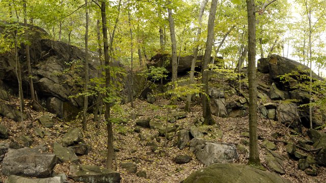
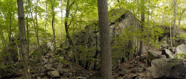
The trail immediately begins a steep climb between pretty rock faces:
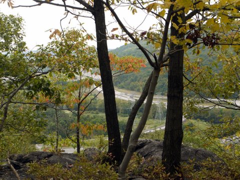
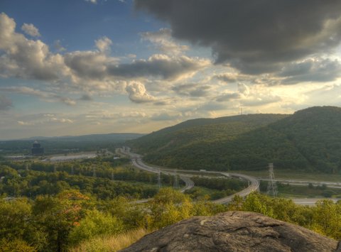
The trail climbed 500′ up Nordkop Mountain, though this early part of the hike was accompanied by traffic from U.S. Interstate 87. The elevation provided a view through the trees of Bald Mountain in adjacent New Jersey, though the view was marred by the aforementioned interstate and power lines.
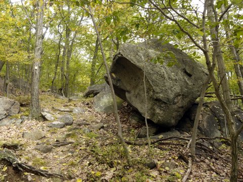
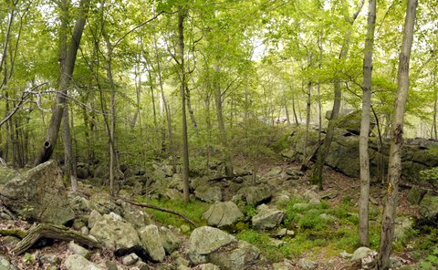
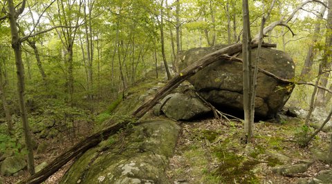
The trail passed a nice boulder . . .
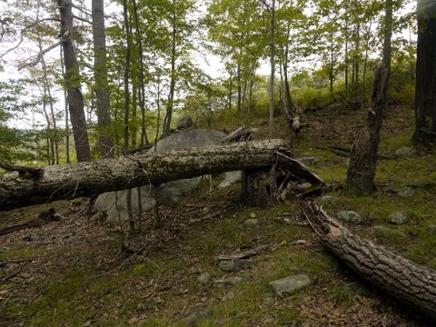
. . . and a downed tree:
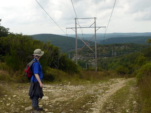
After traveling about 1/2 mile, the traffic noise from the Interstate faded. The trail was not the ideal place to forget about civilization, as it crossed four utility easements during our short hike: traveling over two buried gas pipelines and traveling under two powerlines. Here, Batya checks out the electrifying view:
About 1.4 miles into the hike, we reached a rock wall at a spot the map identified as Kitchen Stairs. The trail continues up a path to the left to the top of this rock wall.
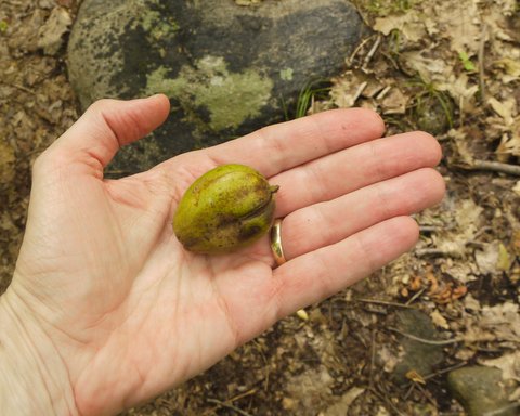
I found a large nut on the ground, but couldn’t tell from which tree it had fallen. Turning once again to the “Name that Plant” board on GardenWeb.com, one poster suggested eastern black walnut (Juglans nigra), which is native to eastern North America. (The walnut shell presents inside a green husk.) A second poster rejects this and believes it to be shagbark hickory (Carya ovata).
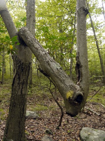
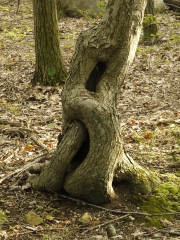
I’ve seen some oddly shaped trees on my hikes, but this has to be one of the strangest ones.
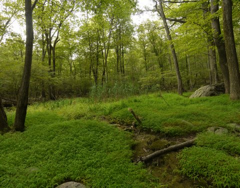
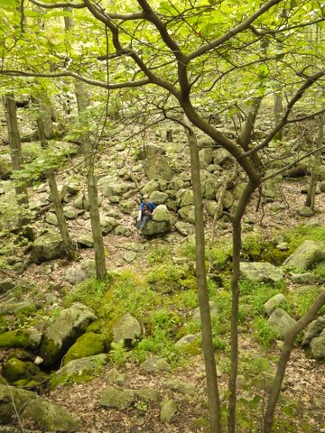
While most of the terrain was muted green covered with dead brown leaves, we finally came to a verdant little clearing:
I had hoped to hike about 4 miles up the trail, to reach a spot identified as “Grandma and Grandpa Rocks,” just before the trail intersected the white-blazed Kakiat trail. However, it was a muggy day,with temperatures “only” in the lower 80s, but a very high humidity. Thus, we only hiked about 3 miles up the trail, stopping when we reached the “Valley of Dry Bones.” (We couldn’t determine why this tiny little spot earned such a name.)
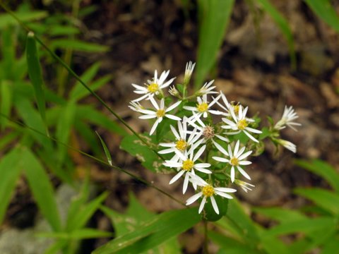
A wildflower, perhaps eastern daisy fleabane (Erigeron annuus):
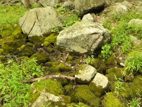
Moss and stones make a nice contrast:
While Batya rested, I scrambled up a rock face, where a dead tree had come to rest. I noted yellow blazes all over the rock and tree. The trail may not see much traffic, and many of the blazes we had seen that day were very faint.
Batya was waiting patiently for me to finish and return to her and start our way back to the trailhead:
We then began retracing our steps. Here’s a tree with a trunk forming an “infinity” shape:
A tone-mapped HDR image showing Bald Mountain and I-87:
This was a hike of about 6 miles, with perhaps 1100-1200′ elevation gain.


