Wednesday: The trailhead to Half Dome starts near the Happy Isles bus stop, which is about a mile from Curry Village. We had debated walking there, but because we already planned at least a 14.2-mile hike, and because I worried about finding the Happy Isles bus stop, we decided to ride the shuttle there. The shuttle came around 7:30 a.m., and we were at Happy Isles around five minutes later, quickly crossing a bridge and finding the trailhead at 7:39 a.m.
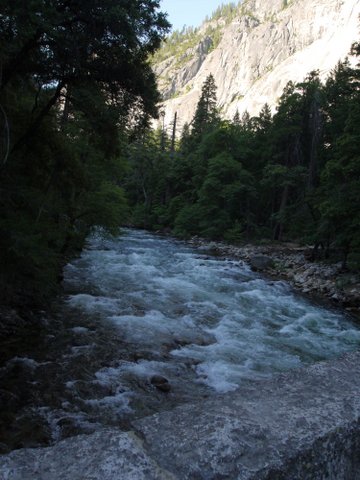
7:40 a.m.: The Mist Trail closely follows the Merced River and is frequently in sight of it. The trail runs south for the first 0.5 mile, then turns east for the next 2.1 miles.
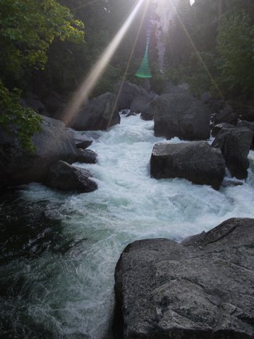
8:02 a.m.: We crossed over a footbridge over the Merced. If you like lens flare, you’ll love this shot:
It’s amazing that the Merced can be so slow and placid in some stretches, and so wild in others.
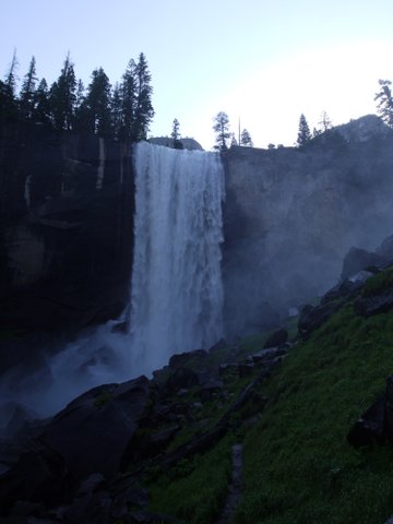
8:17 a.m.: This is Vernal Fall, about 317′ high. The right side of the photo may give you an idea of the mist that comes off the waterfall, and it is this mist that gives the trail its name. Because the morning started off cool, I was still wearing a long-sleeved polyester shirt over my short-sleeved poly shirt, and it became a bit damp from the mist. The legs of my cotton-polyester pants were soaked from hiking up the trail through the mist, but they dried quickly. After passing through the mist, we had to negotiate a steep section of the Mist Trail, leading up to the top of Vernal Fall.
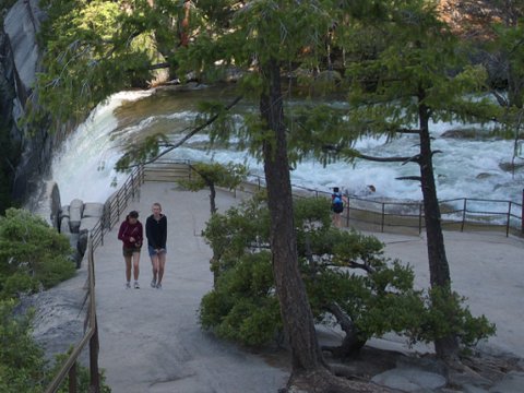
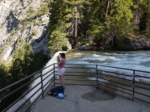
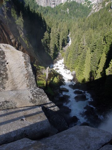
8:41 a.m.: We have made it to the top of Vernal Fall, seen here at the point of the fall:
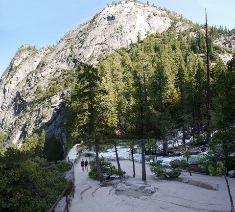
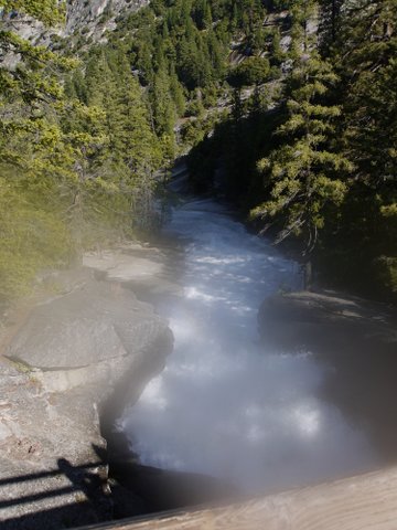
Here’s a panorama showing a wider view of the top of Vernal Fall.
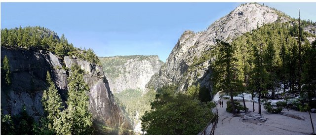
And an even-wider panorama:
The railing at the edge is reinforced. The Park Service does what it can to protect people. Just upstream from the fall is an enticing area called the Emerald Pool, banked with smooth granite called the Silver Apron. A prominent sign warns visitors not to enter these areas, but it seems that almost every year a visitor will disregard the sign, enter into the Emerald Pool, and be caught in the current and swept to his death over Vernal Fall.
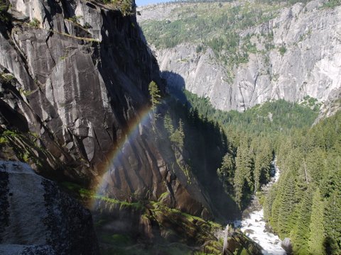
A rainbow in the valley below Vernal Fall:
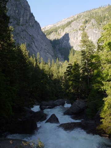
White water:
8:56 a.m.: We continued hiking, almost always climbing in elevation.
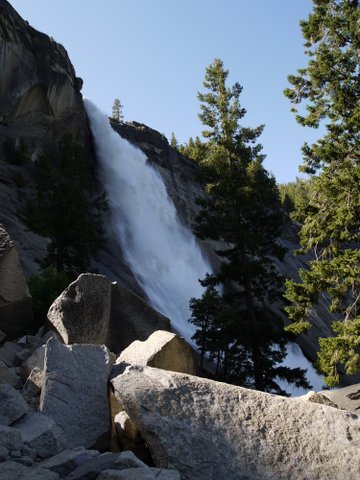
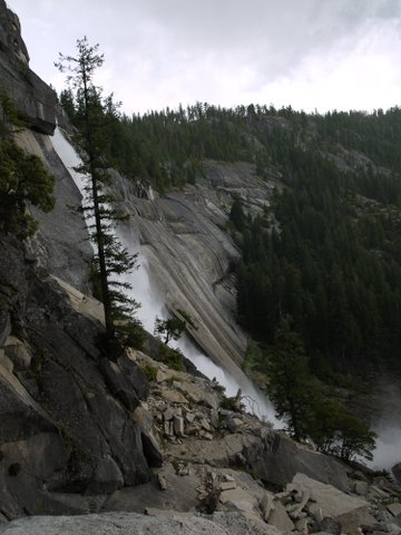
9:17 a.m.: Nevada Fall then came into view, with its 594′ drop. Whereas the Mist Trail led to and passed the top of the Vernal Fall, this was the closest we came to the Nevada Fall. Another trail, the John Muir Trail, leads to the top of Nevada Fall.
After negotiating another steep climb, the Mist Trail hit more level ground and then ended at an intersection with the John Muir Trail. We could have backtracked on the John Muir Trail to reach the top of Nevada Fall, but our objective was Half Dome. At this point we had gained about 1500′ in elevation since we began the hike at Happy Isles.
We continued on the John Muir Trail, heading northeast. For 0.6 mile, the trail followed the Merced River.
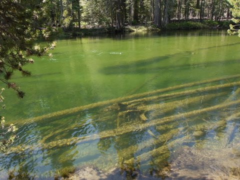
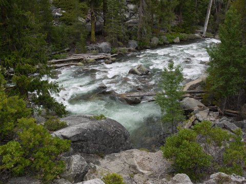
10:09 a.m.: We stopped at one point to admire the river:
The John Muir Trail then deviated from the Merced River, continuing 0.5 miles northeast, still relatively flat. However, the trail then turned north for about 1.3 miles, climbing from about 6000′ to 7000′ over several short switchbacks.
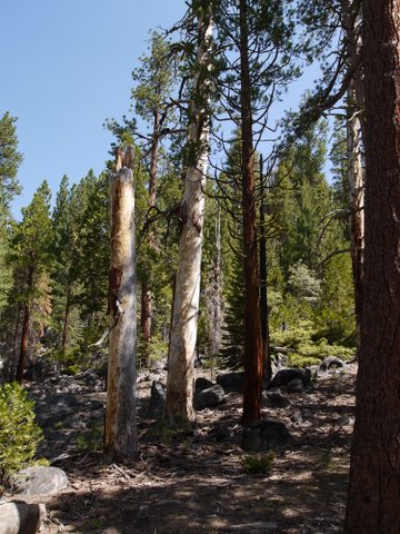
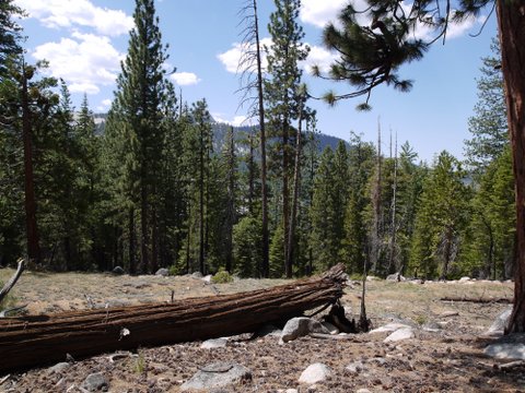
10:54 a.m.: We were now hiking through forested land. The great thing about carrying a camera is that it gives one an excuse to stop to catch his breath.
11:15 a.m.: Another short break.
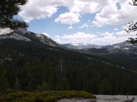
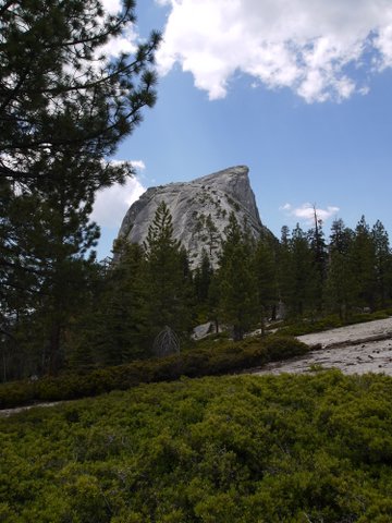
12:07 p.m.: Around 7000′ in elevation, the John Muir Trail turned sharply east, but we continued instead on the 2-mile Half Dome trail. After not having seen Half Dome for a while, it now came into view, at the top left. I believe that I could make out the cable and climbers at the top 400′ of Half Dome:
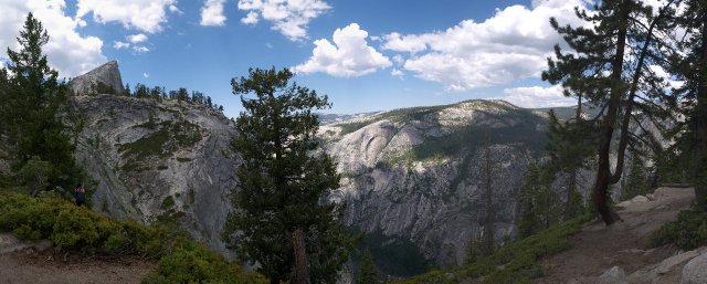
12:15 p.m.: After hiking for a few more minutes, we came to an even more appealing lookout. Half Dome is almost hidden at top left, behind two dead tree trunks. (Move the slide bar to the right to see more of the photo. Or click for a larger version, especially if you have a widescreen monitor!)
This detail may be the Clark Range.
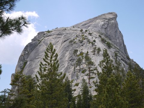
12:26 p.m.: We continue our hike, drawing ever closer to Half Dome.
At this point, the hikers on Half Dome stopped looking like little specks, and were recognizable as people wearing a kaleidoscope of colors.
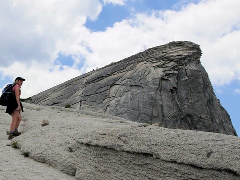
We began climbing the base of Half Dome. I always admire and appreciate the efforts of trail builders, who had moved rocks and/or cut steps into the base, allowing thousands of people to enjoy Half Dome.
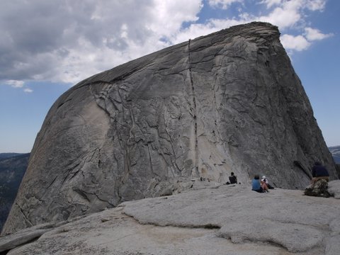
12:57 p.m.: As we approached the last 400′ of Half Dome, I remembered to photograph the surroundings:
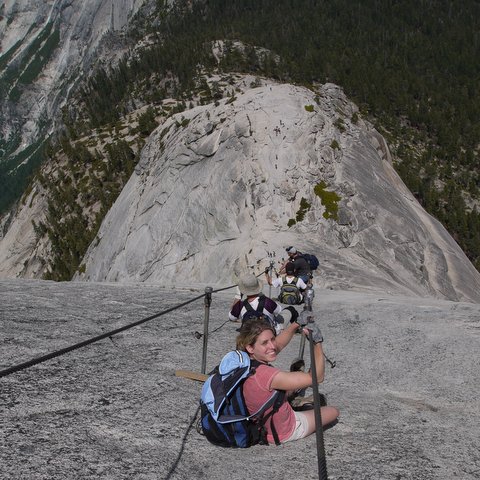
12:59 p.m.: Julie gets a good look at the cables.
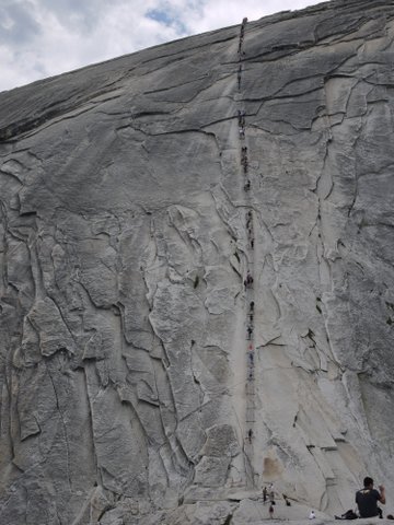
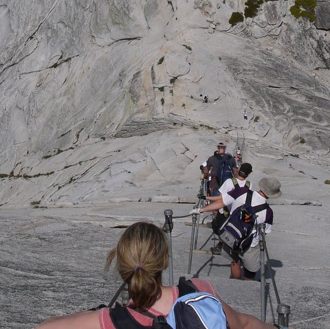
1:03 p.m.: A closer look at the cables leading to the top of Half Dome. The final pitch or 400′ or so is at a 30 to 45 degree slope, with few footholds on the slippery granite. Thus, cables were installed decades ago, in fact closely following a route established a century ago to the top. The cables run through poles that are set into the rock every ten feet or so, with a wooden plank at the base of the poles. It is strongly advised to wear gloves to ascend the cables, to protect one’s hands. Two people in front of us started to ascend and after a few feet decided they needed gloves. Luckily, there is a small pile of abandoned gloves at the base of the cables. While littering is generally discouraged, this is an exception, as the gloves prove helpful for those who come without them. I had debated what kind of gloves to buy. Leather gloves would provide good protection, but I wondered if they would provide a satisfactory grip. I ended up buying cloth gardening gloves that had a rubber coating on the palms. They provided very good grip, though on the way down the rubber became ripped in one place. So they were perfectly suitable, but only good for one climb of Half Dome.
It is strongly advised to remain within the two cables, which run in parallel about 3′ apart. Hikers can comfortably grip both cables as they ascend or descend. If they meet someone coming the other way, they can let go of one of the cables and allow the other to pass. The climb does take some upper body strength, and I suggest the best technique is to rest on the wooden planks at the base of each pair of poles, and wait until the person above you clears the next plank. Then quickly ascend to the next wooden plank and rest there until the person above you clears the next one, etc.
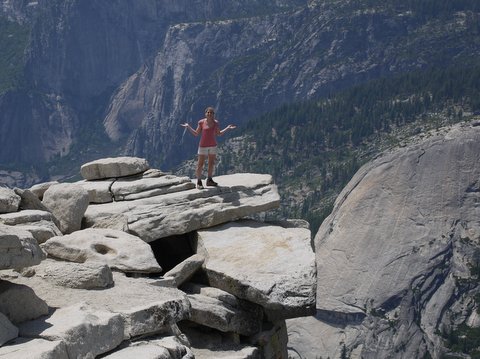
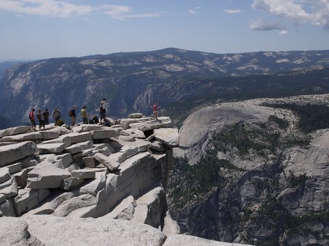
2:30 p.m.: I’m not sure how long it took to climb the cables, but there was a line of people above us, moving slowly, and everyone was patient and not trying to rush anyone else. When we reached the top of the cables, we rested for a few minutes. Julie went ahead of me, scrambling the last 50′ or so (which is not that steep and doesn’t require cables), and I joined her after resting a while longer. Here’s Julie at the top, saying, “Was this supposed to be hard?” It had taken us about 6-1/2 hours to hike about 7.1 miles, climbing 4800′ in elevation.
A stitched panorama, covering almost 360 degrees of the view at the top:
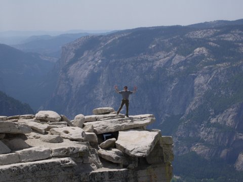
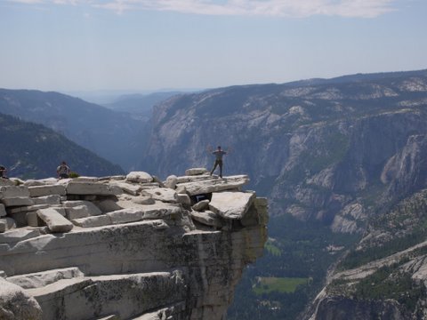
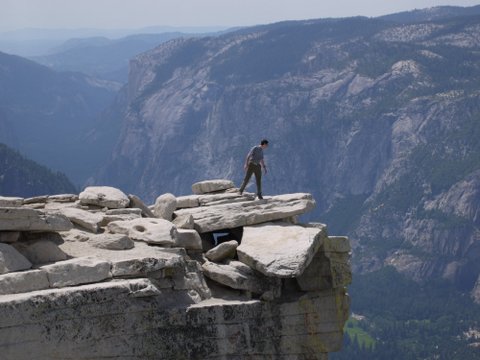
Here I am at the top:
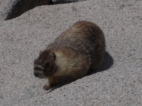
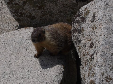
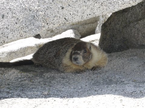
There were at least a pair of marmots at the top. One of the other hikers was feeding them peanuts. They hibernate during the long winter months, when no one hikes to the top of Half Dome with peanuts for them.
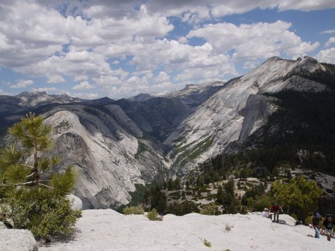
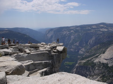
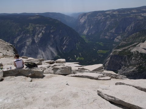
In this shot, one can see the Yosemite Valley below, maybe including a bit of Curry Village.
2:53 p.m.: It looked as though a thunderstorm was developing a few miles away, so we decided it was prudent to leave, as lightning has killed people at the top of Half Dome. On the way up, we saw descending hikers who appeared confused as to the best way to descend. Some were facing down, while others were descending backwards. I was worried that descending might be as strenuous as climbing, but it turned out to be quite easy to go downhill. We were both comfortable facing forward, and found that gravity was our friend in making for an easy descent.
5:47 p.m.: We returned on the same path we had come, only taking one short detour from the John Muir Trail to visit the facilities at Little Yosemite Valley, a campsite where some hikers spend the night on the way to Half Dome, instead of doing it all in one day as we did. It was nice to see the Merced River again.
6:01 p.m.: I took another photograph of Nevada Fall on the descent:
We returned to the trailhead at Happy Isles around 7:30 p.m., just under 12 hours since we had began the 14.2-mile hike. The blister that had started to develop on Mt. Dana did not prove to be a problem on the Half Dome hike. My legs felt a little weak, but I didn’t suffer from any serious pain that day or the next. My conditioning over the past few months had worked.

