On Washington’s Birthday/Presidents’ Day, we decided to visit Allaire State Park. We followed a hike written up by Daniela Wagstaff in 2011, though there have been a few changes to the park since then. We parked in the lot on County Route 524 (Atlantic Avenue) at 40.15755, -74.12056. We crossed the road, turned left, and walked a short distance (passing a house), coming soon to a double gate on the right, at which point we entered the woods on the orange trail. For reference, see the park map:

Start of Orange Trail
As expected for a February in New Jersey, there were many areas devoid of greenery:

Trees
Here we found a bit of green:

Winter greenery
A stream:

Stream
Another stream:

Stream
The park was relatively flat, though there were a few minor hills in places. About a mile into the hike, the trail followed a ditch between two hills. I couldn’t tell whether the ditch was erosion from vehicular traffic from an old woods road, or whether it was from water, as a water tank appeared on the hill to the left, with a shattered fiberglass drainage pipe running into the ditch.

Eroded trail
Eroded area:

Eroded trail
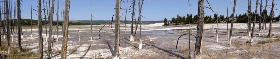
Panorama of trees:

Trees
The orange trail looped through a portion of the park that is north of County Road 524 and south of Interstate 195. We reached one point that was a former rail bed of the Freehold-Jamesburg Railroad. Part of it has been paved as a biking trail, but another part remains unpaved. We only walked on a few feet of the rail bed, then turned left to continue on the orange trail. We soon returned to County Road 524, where it crossed under the interstate. Here we diverged from Daniela’s directions. She wrote, “Walk beyond the chain link fence then turn right and walk under I-195 along Route 524 with the chain link fence on your right.” My recollection is that there are now parallel chain link fences, with the orange trail running in between them. We walked in between the fences, which brought us under the interstate. However, it left us in a place on the orange trail, whereas Daniela’s directions had called for us to walk along Route 524 for a while, diverging from the orange trail. We were separated from where we needed to be by about 50′ of thorny underbrush that did not seem reasonably passable. Rather than going back and walking on the traffic side of both fences (which seems somewhat risky), we continued on the orange trail.
This led us behind a few cabins of a camping area, and then again to the former rail bed of the railroad, continuing to the west of the interstate. We stopped for lunch along the rail bed.
Afterward, we continued moving west on the orange-blazed rail bed, until we came to blazes for the green trail to our left. We followed the green trail south, passing by a pond:

Pond
The green trail led us back to Route 524. Following Daniela’s route again, to the best of our ability, we crossed the highway, and re-entered the green trail on the other side.

Green trail
The green trail soon led us back under Interstate 195. Whereas we had first crossed under the interstate at the country road, this second crossing was on the green trail alongside a shallow canal. Back on the east side of I-195, we soon left the green trail for the red trail(s).

Red trail
Beside a boardwalk, a bloom of skunk cabbage (Symplocarpus foetidus) had poked through the ground.

Skunk cabbage
We soon came to a find pond beside the park’s Nature Center. Here too, the current layout of the park differed a bit from Daniela’s instructions. She wrote, ” The footpath ends at a sand road, the green-blazed sand road along the canal from earlier in the hike. Straight ahead is an attractive pond. Veer left then turn right and cross the bridge with a sign directing you to the Nature Center.” Actually, the footpath she mentioned was rerouted slightly so that it ends about 15′ from where it used to end. The bridge to the Nature Center is now straight ahead of the footpath, so there’s no need to veer left then turn right on the sand road, just go straight ahead. However, we did take a bit of a detour, walking right on the green-blazed sand road to admire the pond, before returning to cross the bridge.
(In fact, the sign on the bridge is mounted on the right of the bridge, where someone walking on the green-blazed sand road would see it, but someone coming straight from the footpath across from the bridge would not see the sign. It seems that the park should have relocated the sign when they rerouted the footpath.)

Pond
A sign on the Nature Center:

Smokey the Bear
We had hoped to find restrooms at the Nature Center, but the building was closed, and we saw no sign of restrooms. However, we soon came to historic Allaire Village within the park, and there was a large building with restrooms and vending machines.

Millpond and Allaire Village
We walked through Allaire Village, and then followed a path that ran along the Manasquan River.

Manasquan River
Another view of the river:

Manasquan River
After sightseeing along the river, the path took us us to the blast furnace that had formerly served the ironworkers of Allaire Village.

Blast Furnace
We then returned to Allaire Village, though most of the buildings were closed.

Allaire Village
We walked past a small railroad that runs at time for tourists, and then followed a bike path bath to the parking lot. This was about an 8-mile hike. As noted, it was relatively flat, and thus an easy to moderate hike. One couple in Allaire Village stopped us to ask us if we considered ourselves hikers or walkers, and asked how we defined hiking. Wikipedia says that hiking is generally considered a long, vigorous walk, usually on trails (or sometimes off-trails). Strolling through the paved Allaire Village hardly seemed like hiking, but the balance of the day seemed to qualify.
, New York")
, New York")
, New York")
, New York")
, New York")
, New York")
, New York")
, New York")
, New York")
, New York")


, Allamuchy Mountain State Park, Sussex County, New Jersey")


